Summary
An easy bushwalk covering historical landmarks then sloping downhill to Heinrich Reserve.
About This Walk
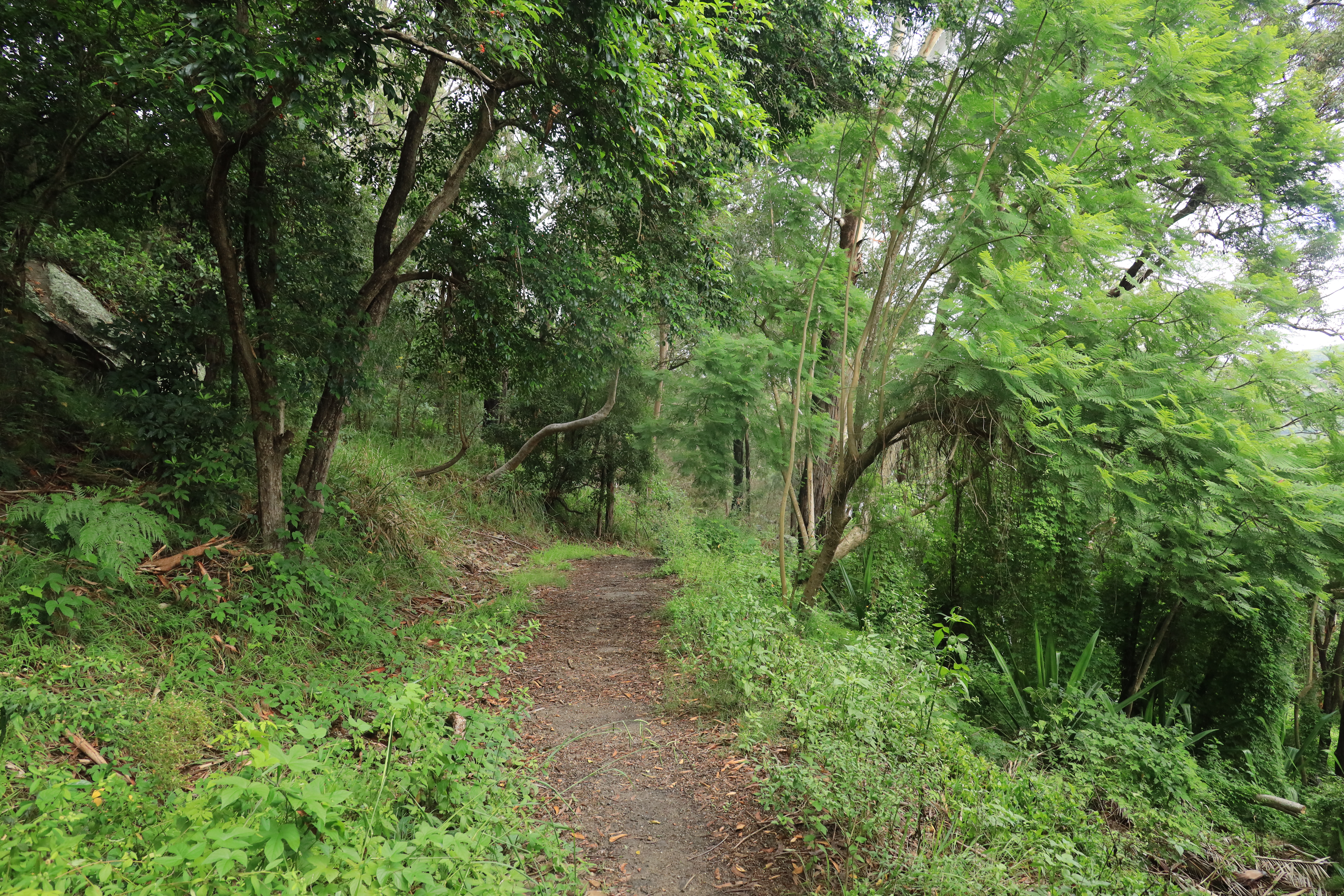
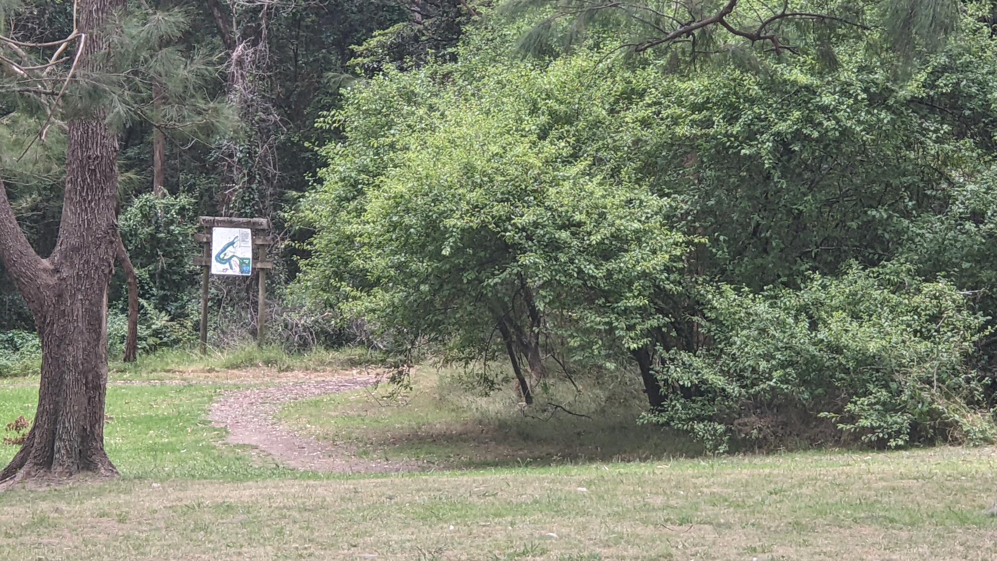
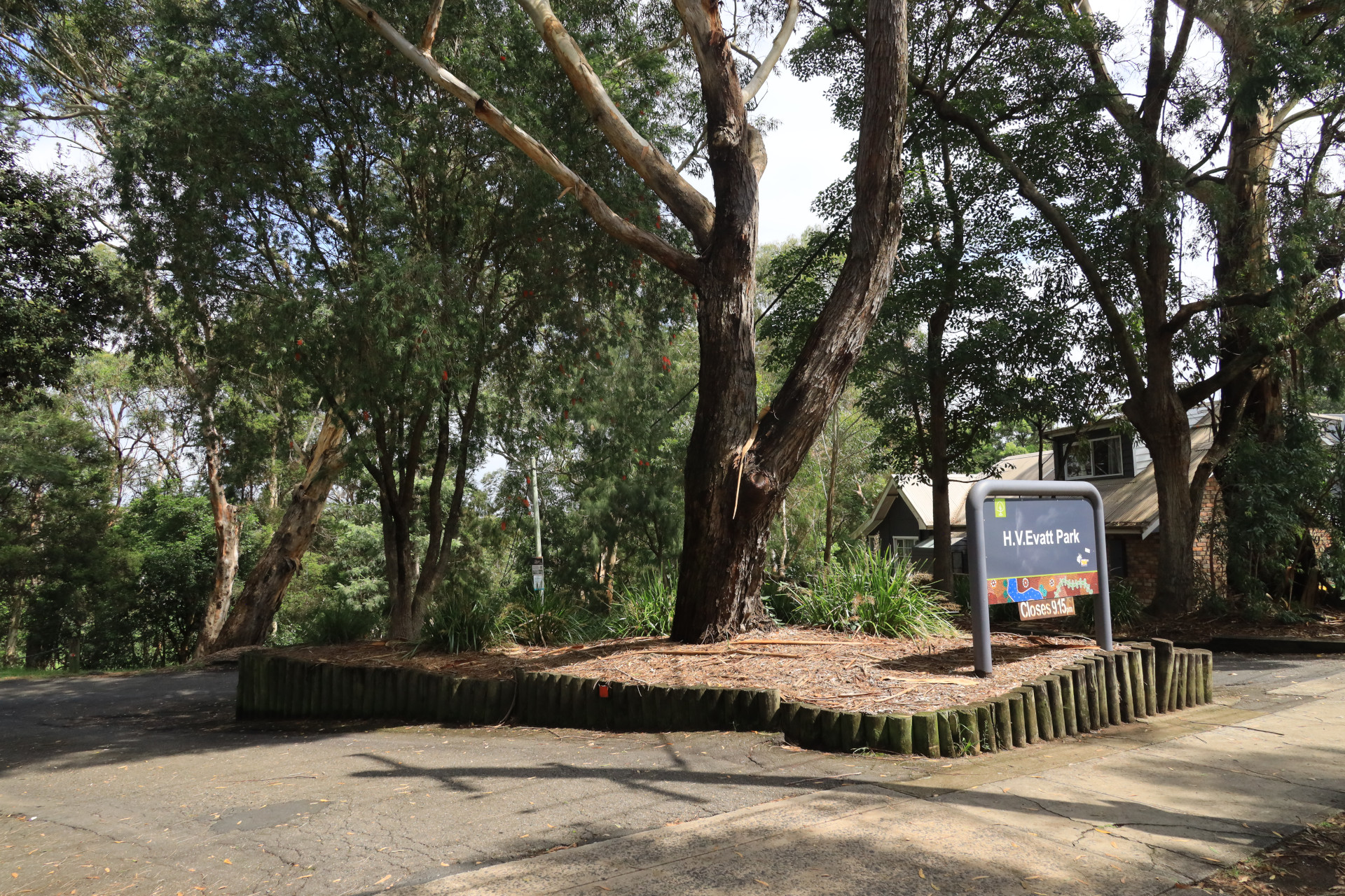
Although this historic walk in Lugarno starts at Evatt Park, it is best enjoyed if you start at the entry of the Rainforest Track on the North-Western edge at Blackbutt Avenue (car parking spots are available here).
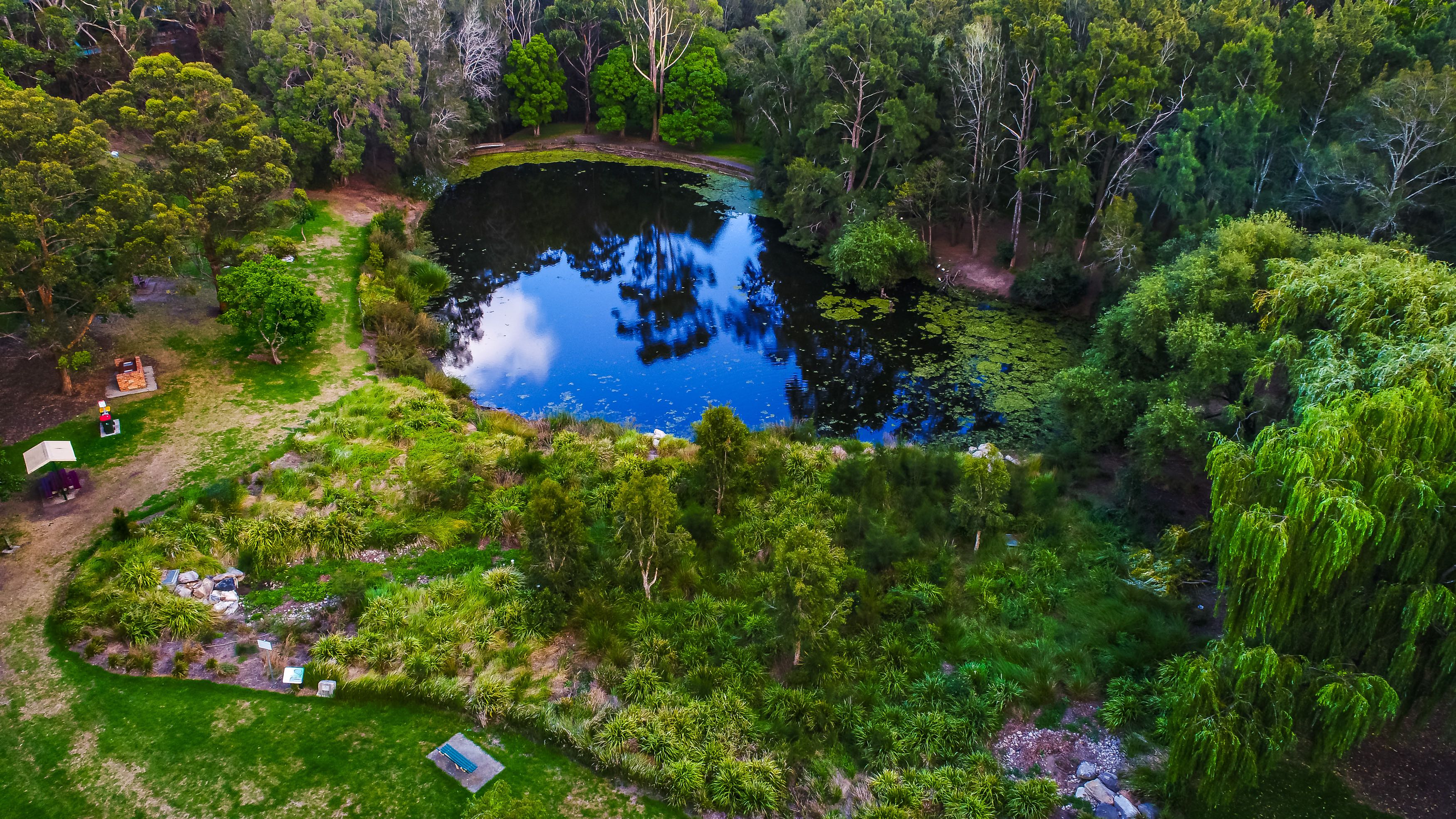
Take a moment to explore Webb's Dam. This area was formerly a large commercial market garden. Watch this YouTube video by local historian Ron Denholm to learn more about some of its history: https://youtu.be/5sjrSgrPmQ4?si=Wjvx34drFUe-5zQz
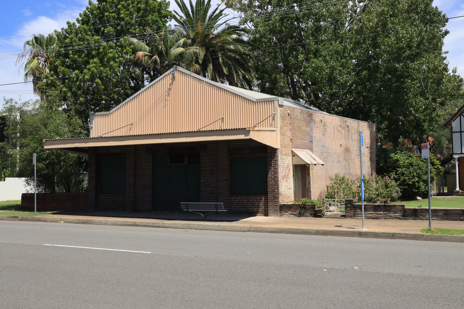
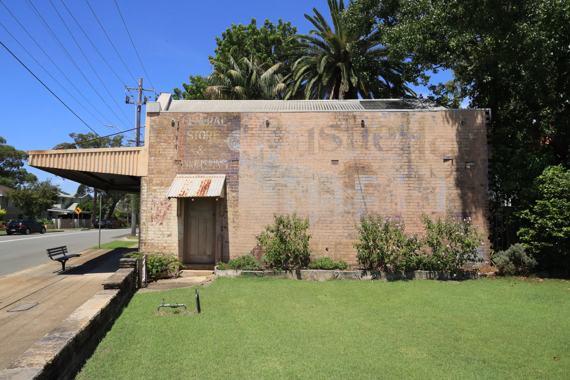
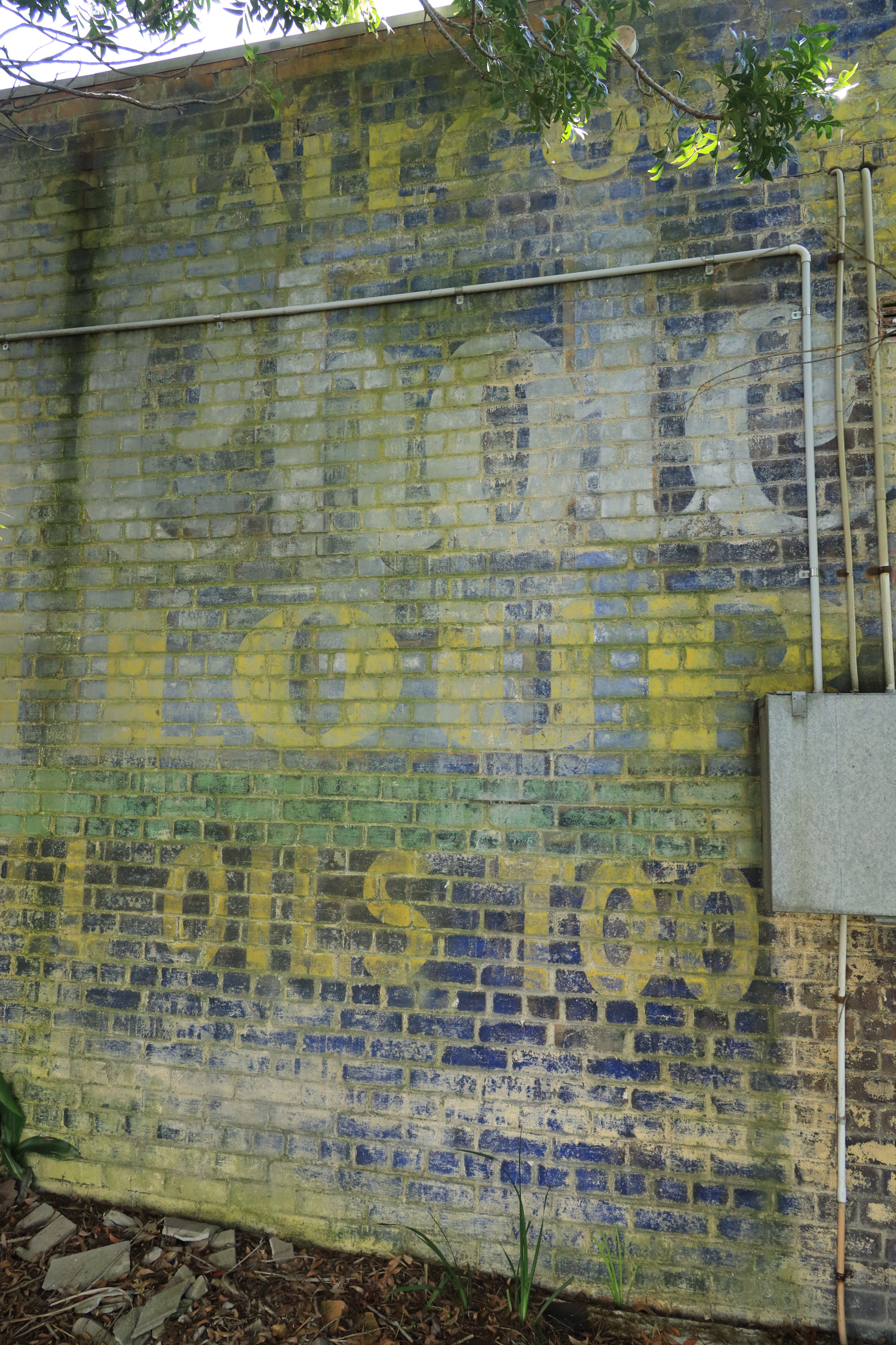
After Evatt Park you walk right down Forest Road to the intersection, where Old Forest Road splits off. If you follow on the right it leads to Lugarno Primary School. However if you continue straight along Forest Road you will clearly see the historic Old Shop with the Bushell’s sign still visible. This is the site of the first service station in Lugarno.
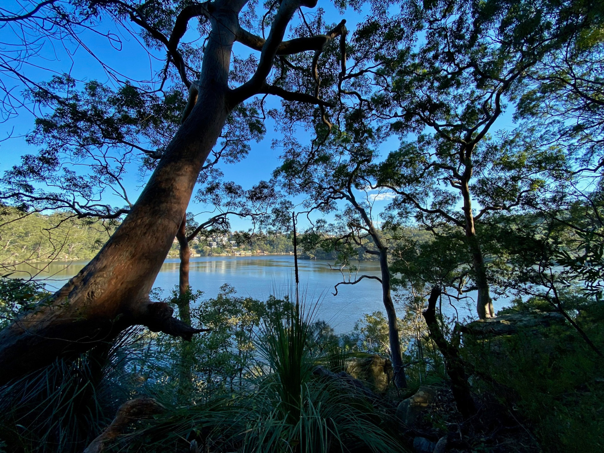
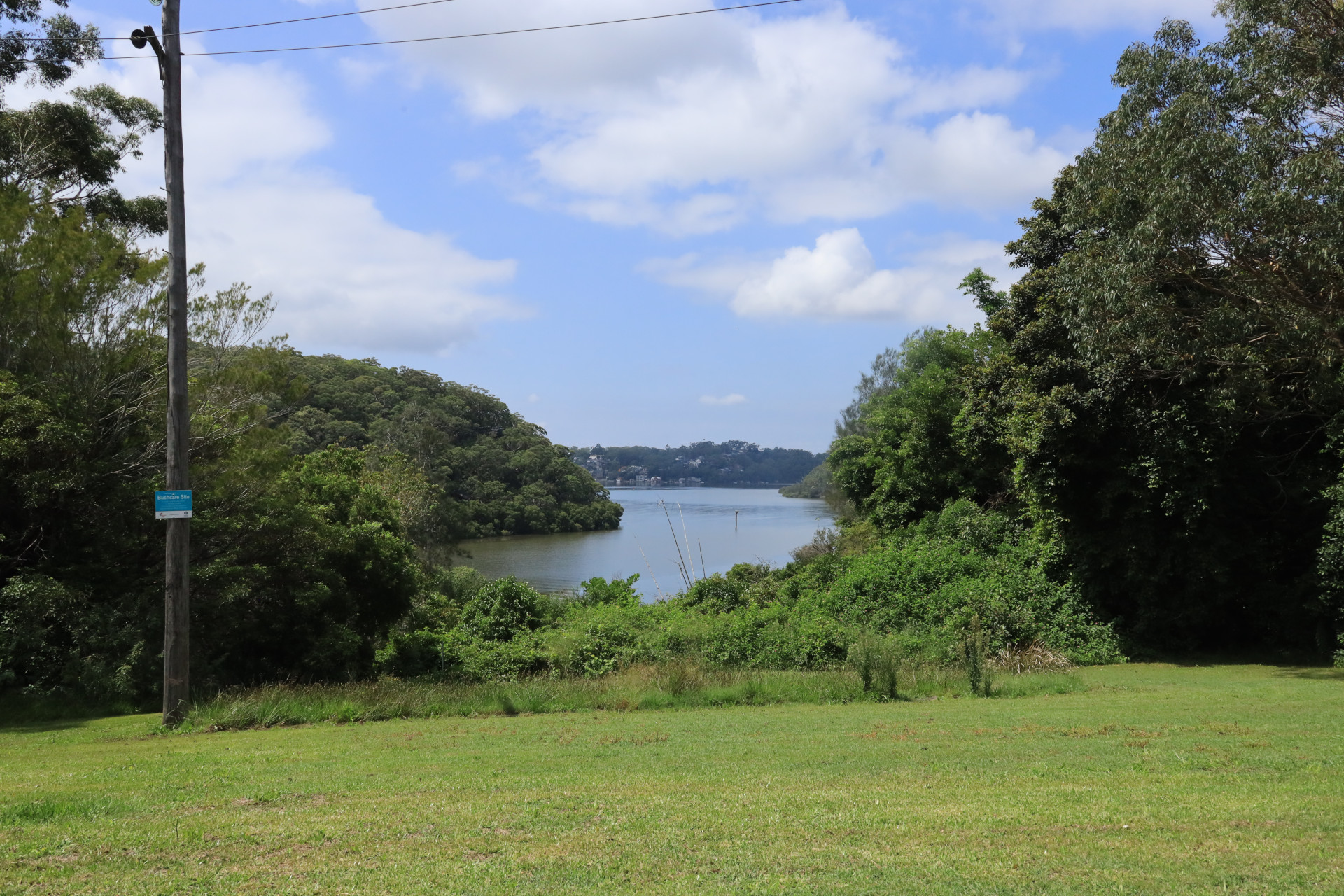
Going past Hillcross Street, you continue down Forest Road, then cross over to Boronia Parade. Once you continue downhill on Boronia Parade the elevation starts to open up magnificent views of Boggywell Creek (part of the Georges River).
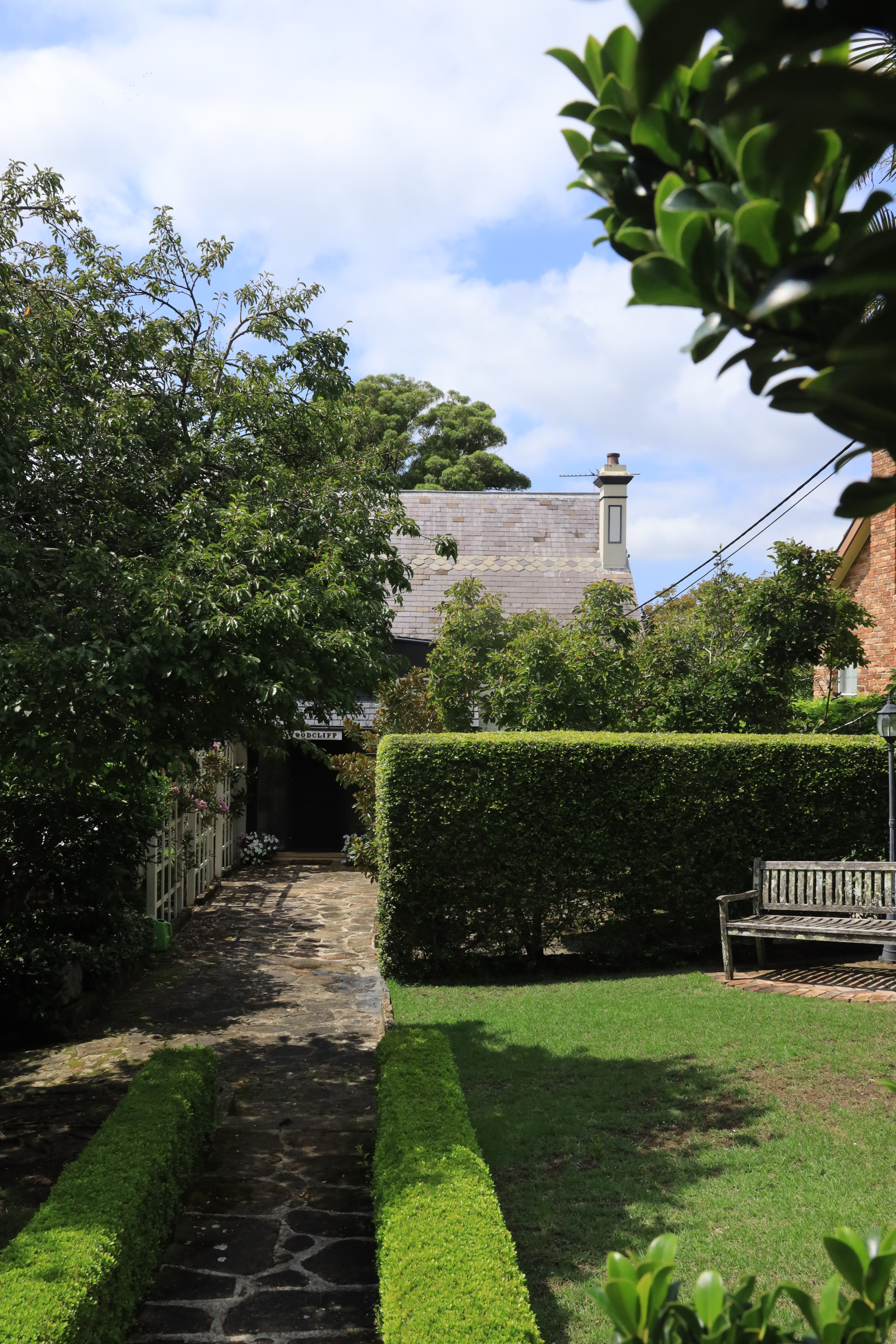
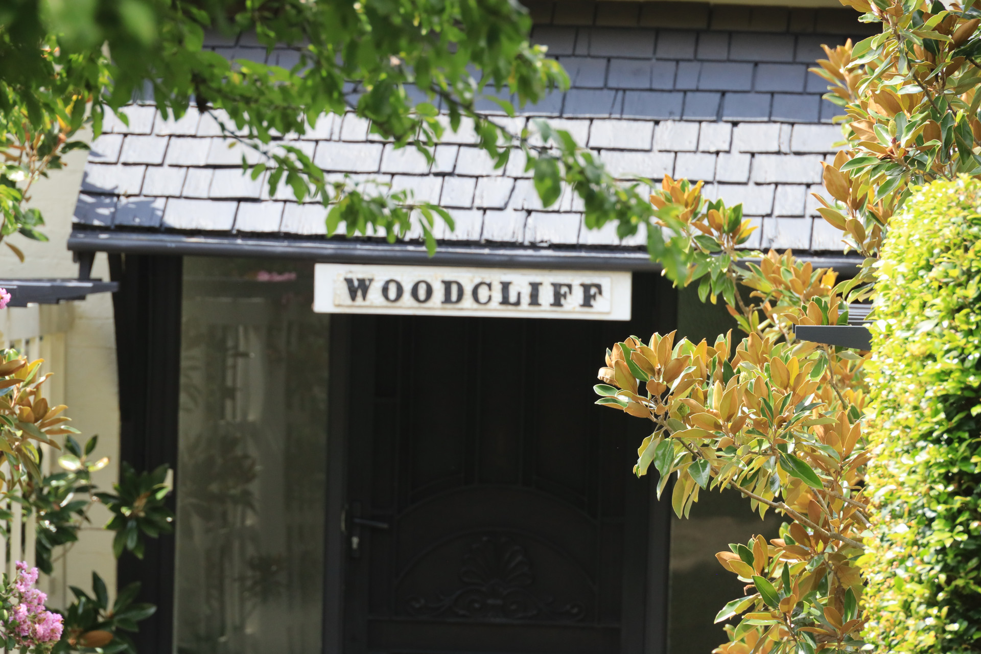
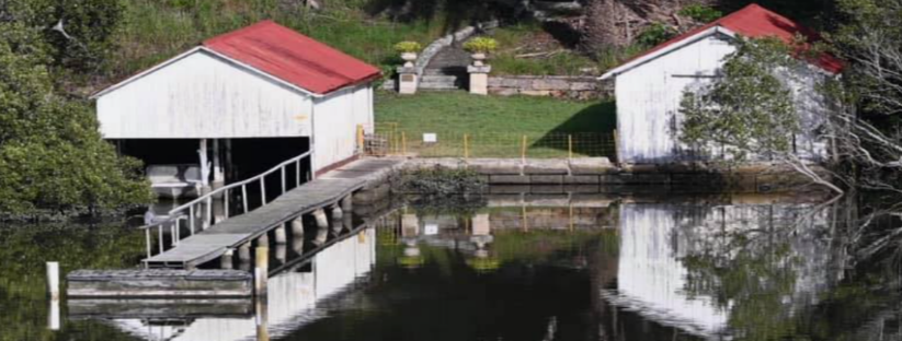
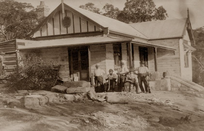
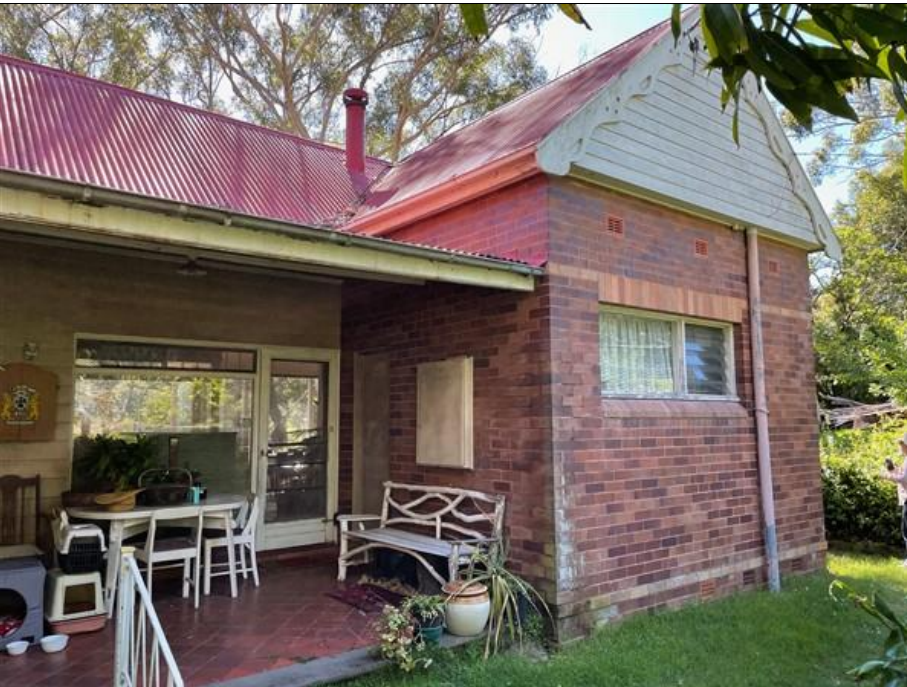
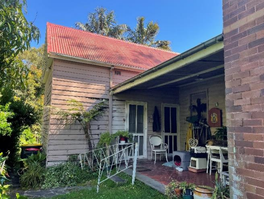
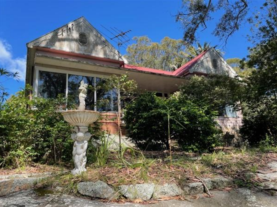
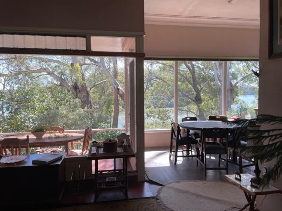
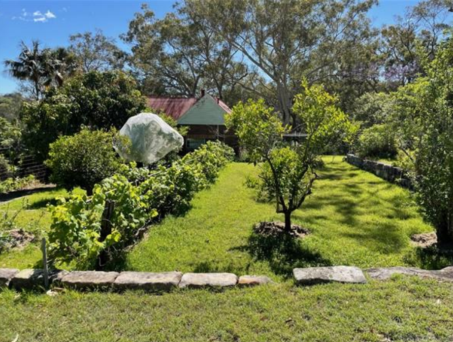
Boronia Parade takes you into Woodcliff Parade and here you will see the back of the Hermitage House, and then further along Heinrich House at 12 Woodcliff Parade. Together with Glenlee these 3 historic landmarks make up the Heritage Precinct.
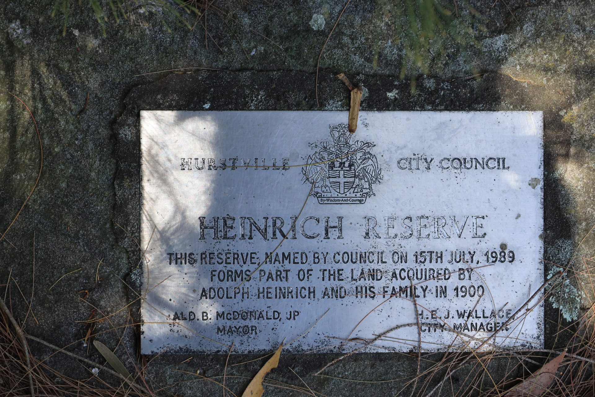
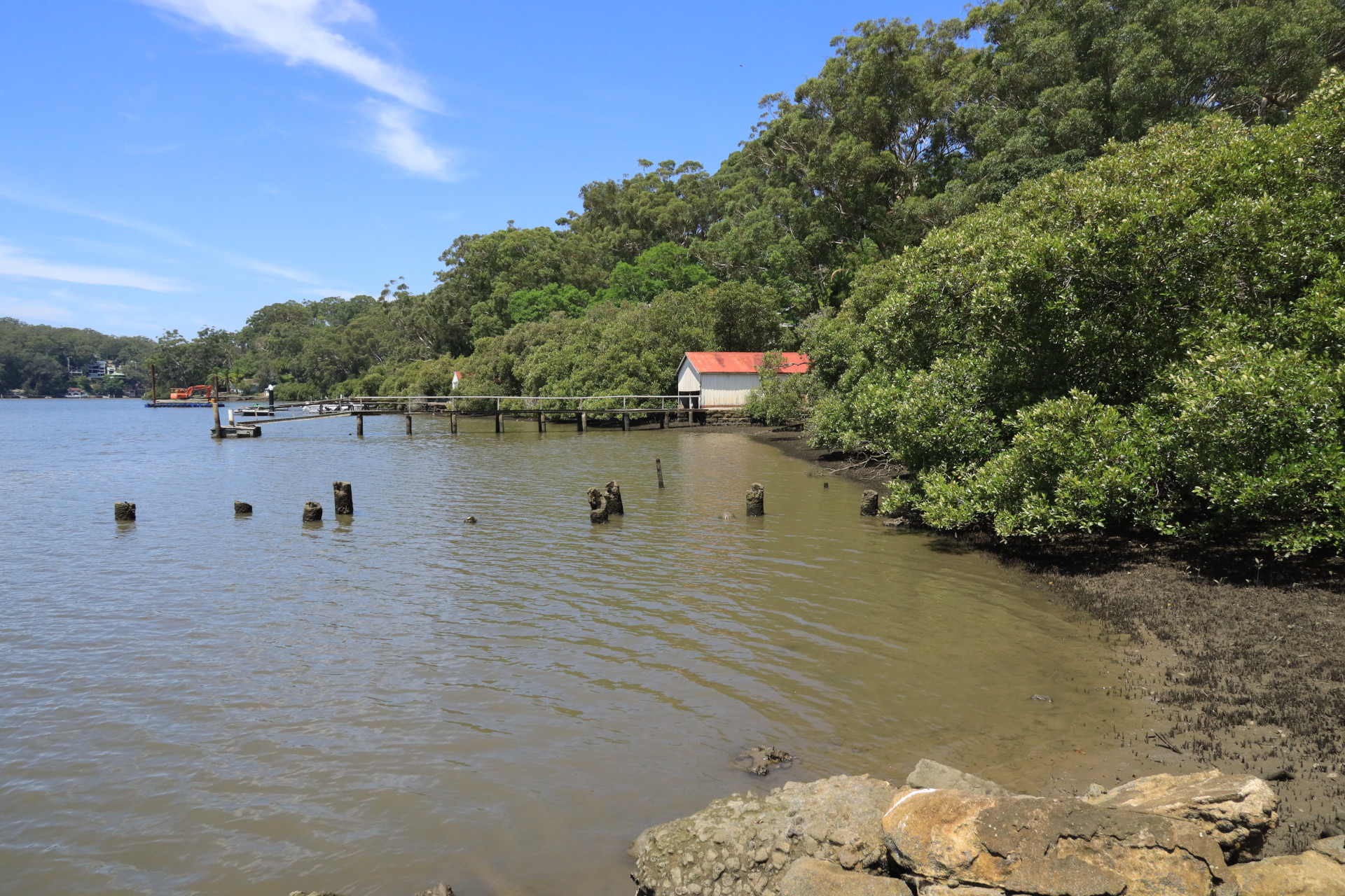
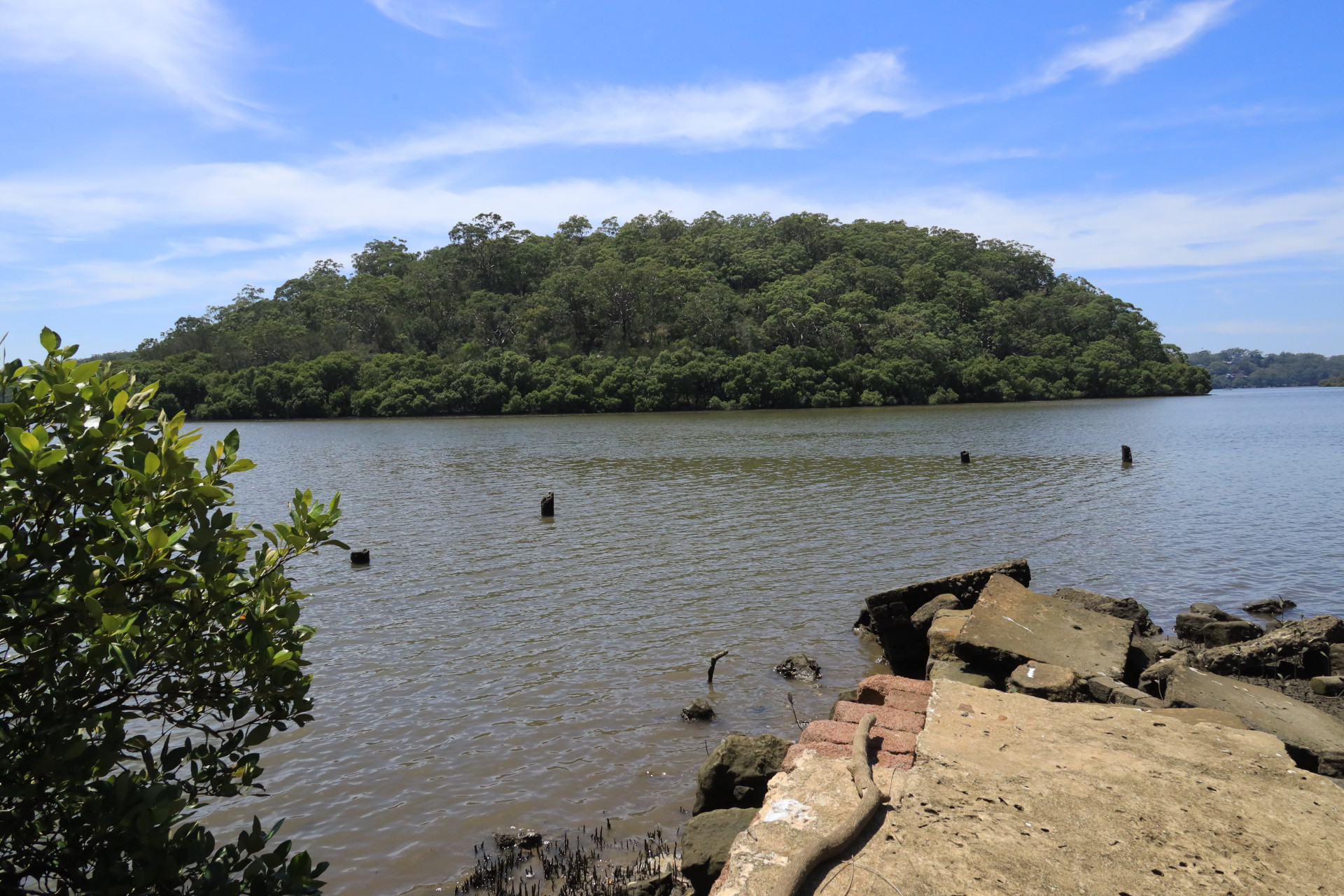
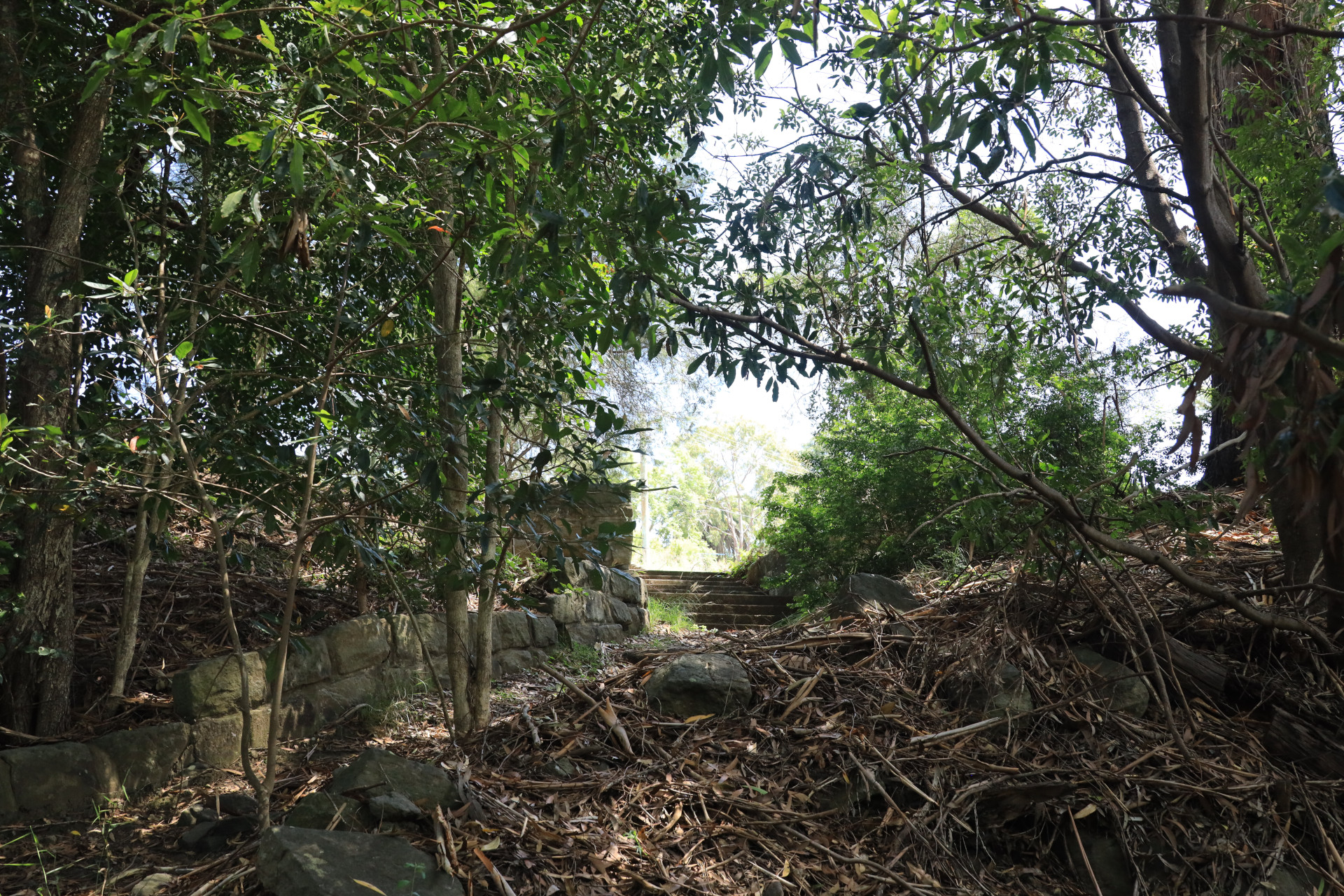
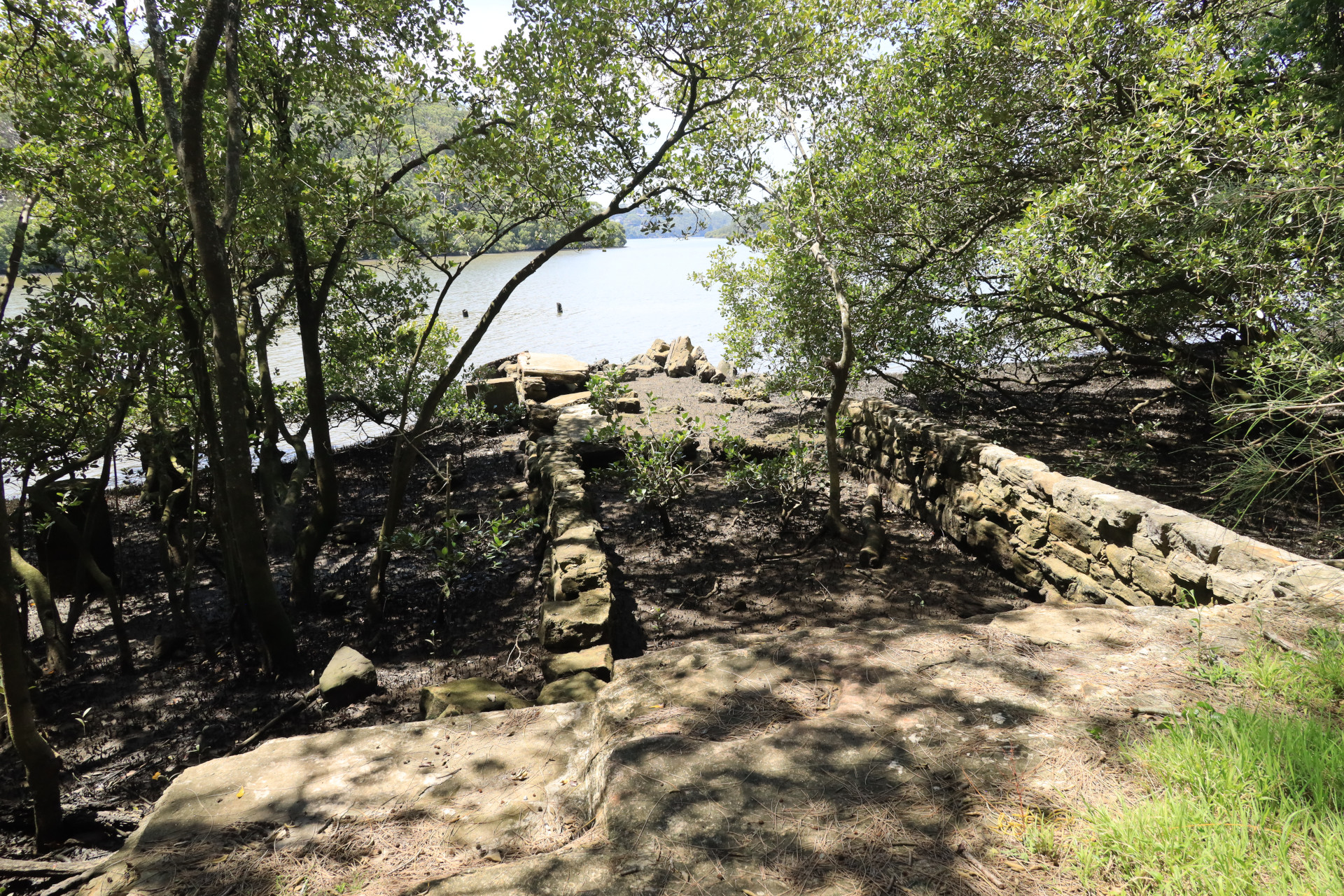
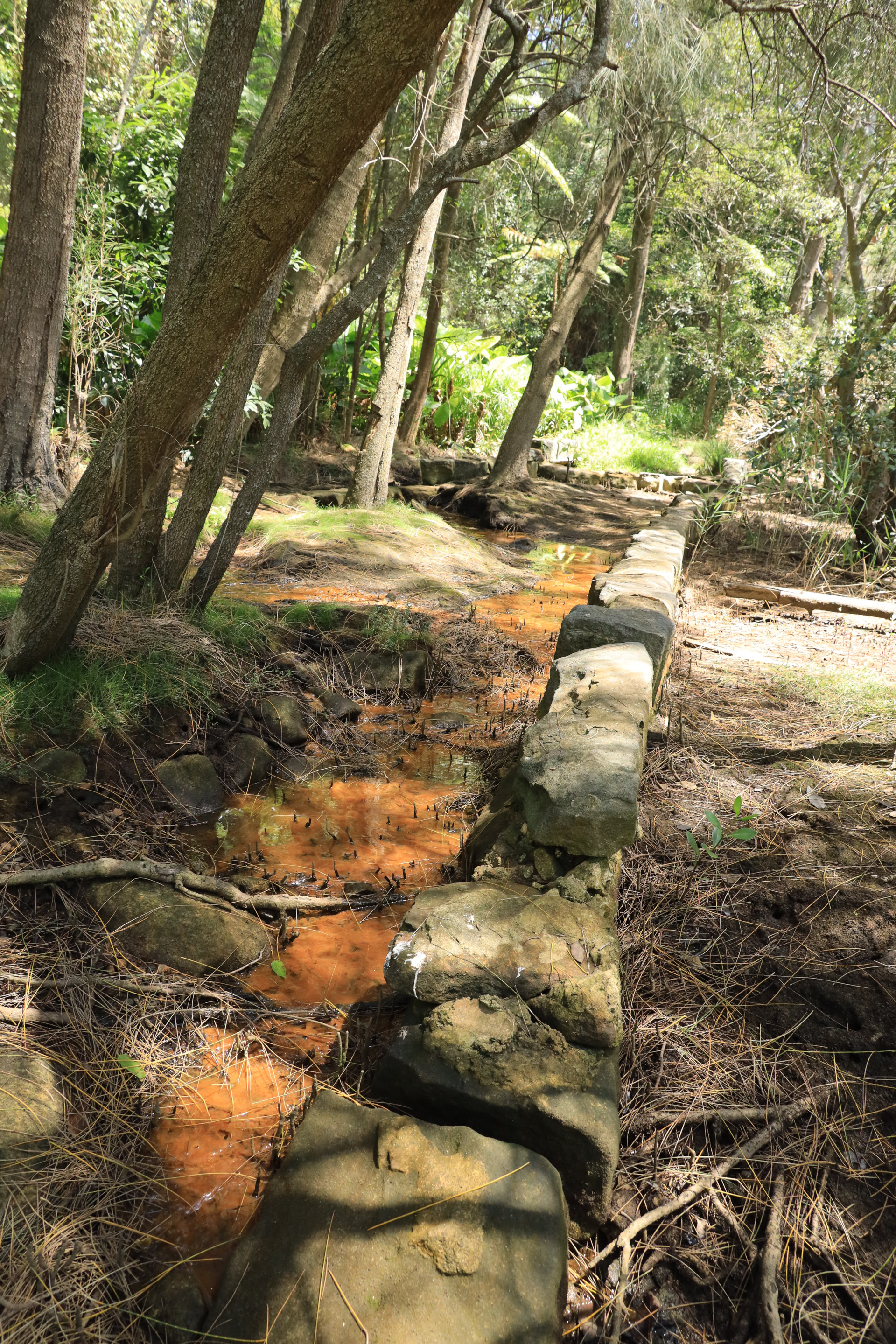
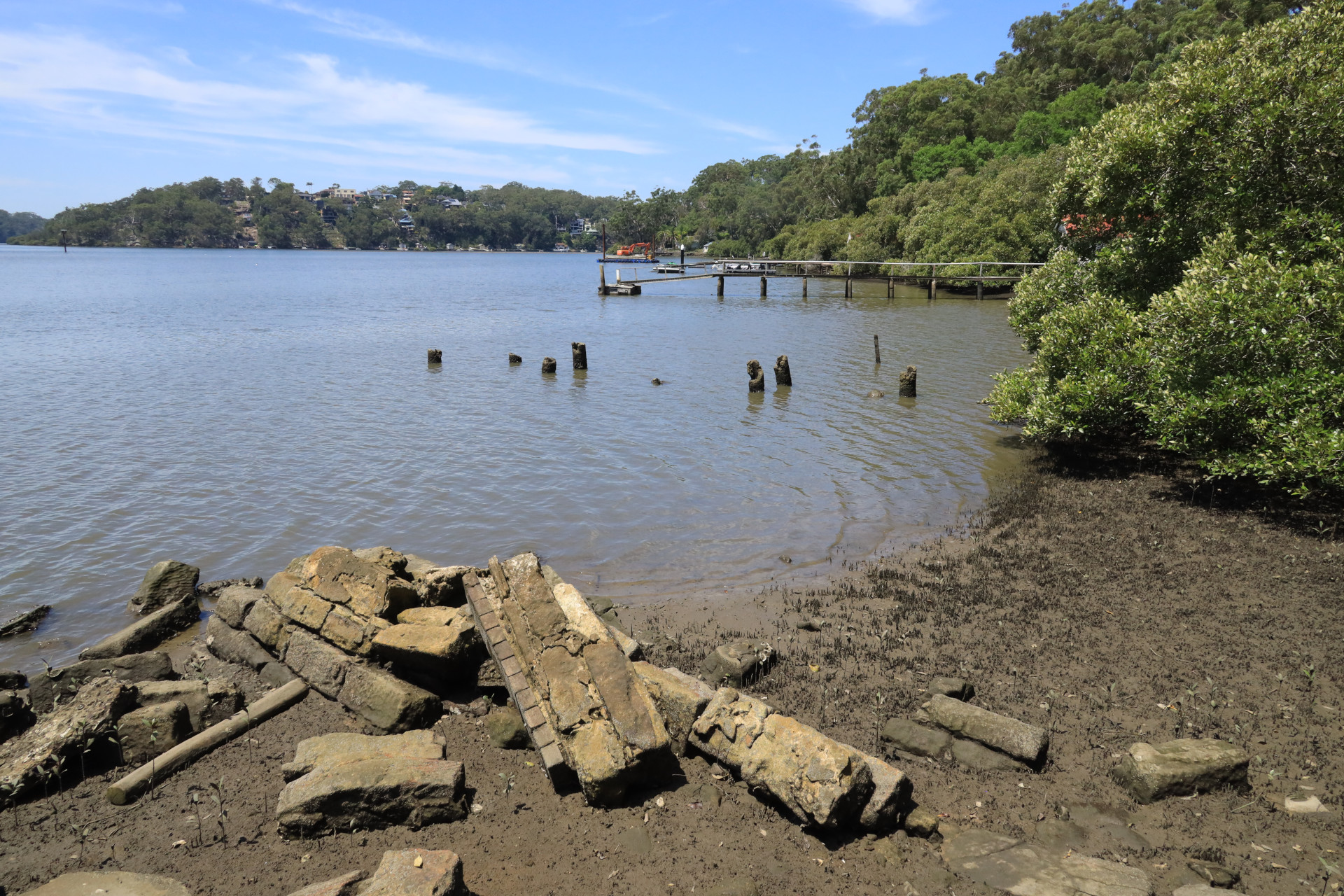
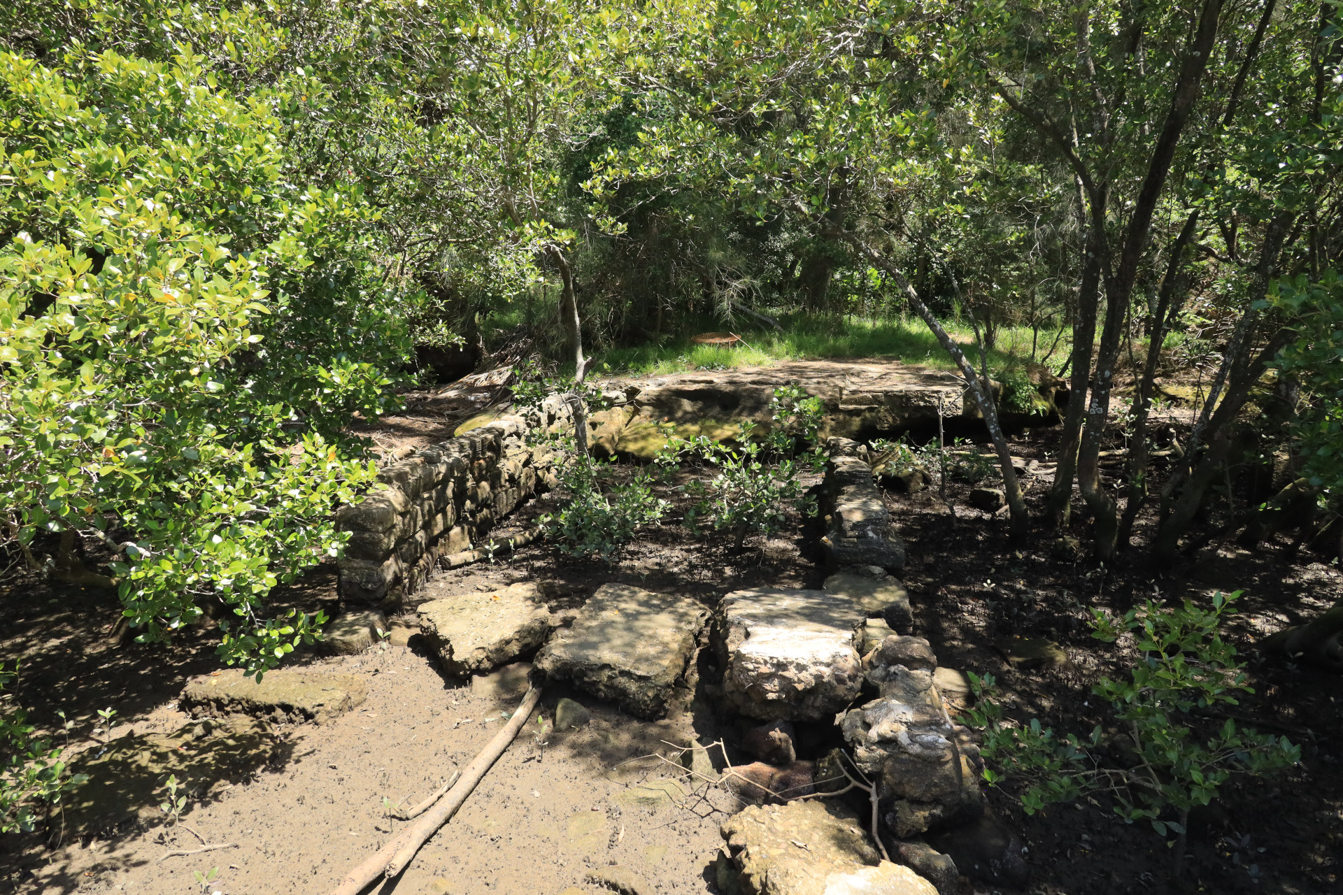
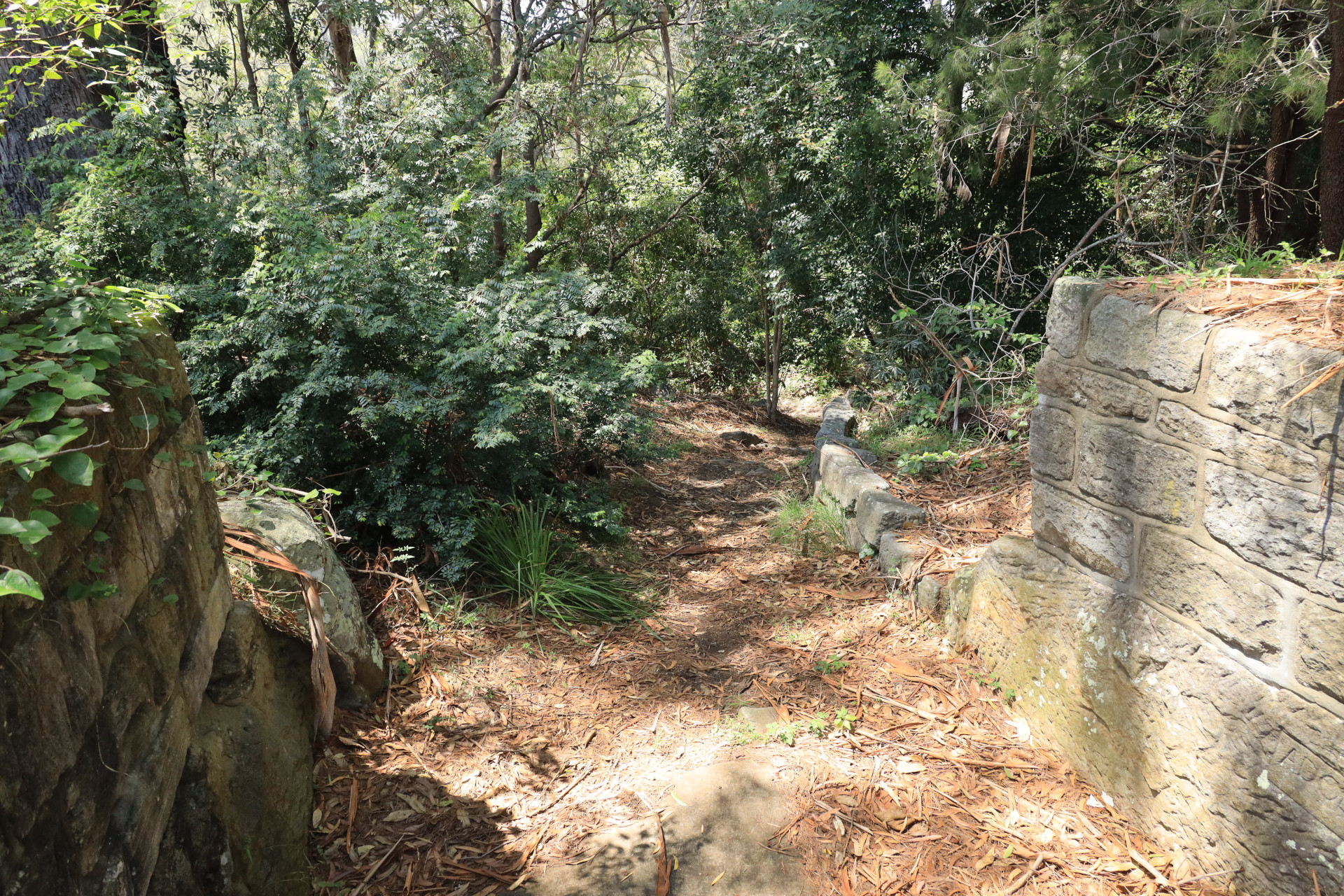
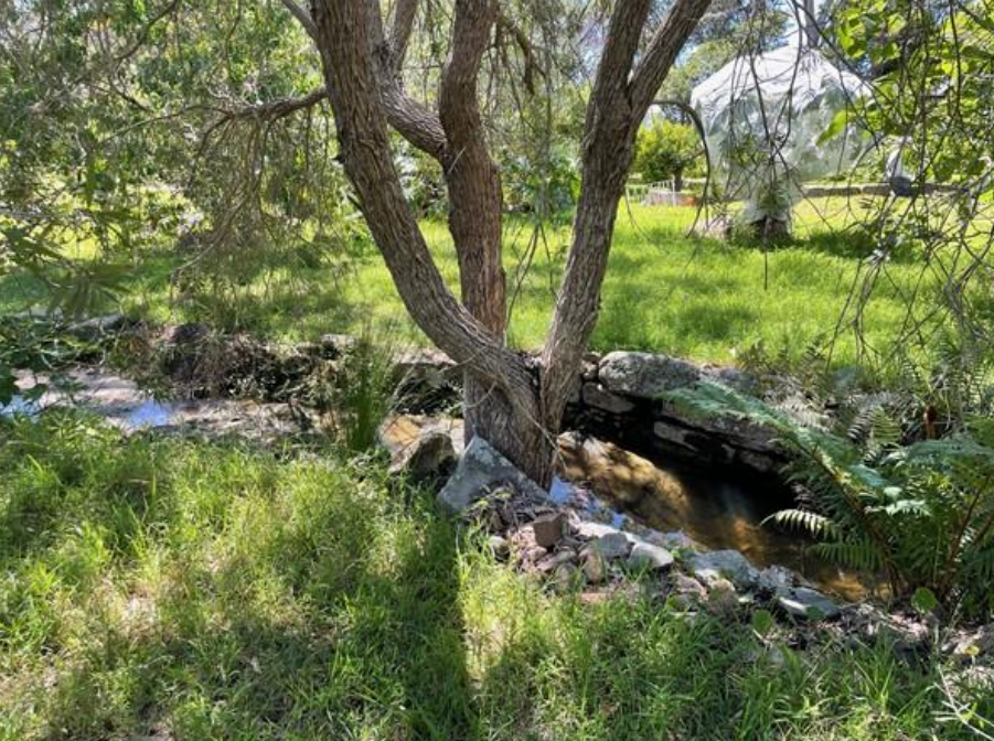
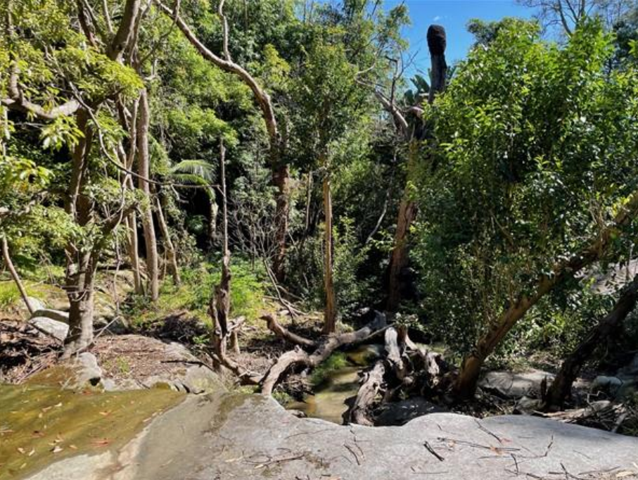
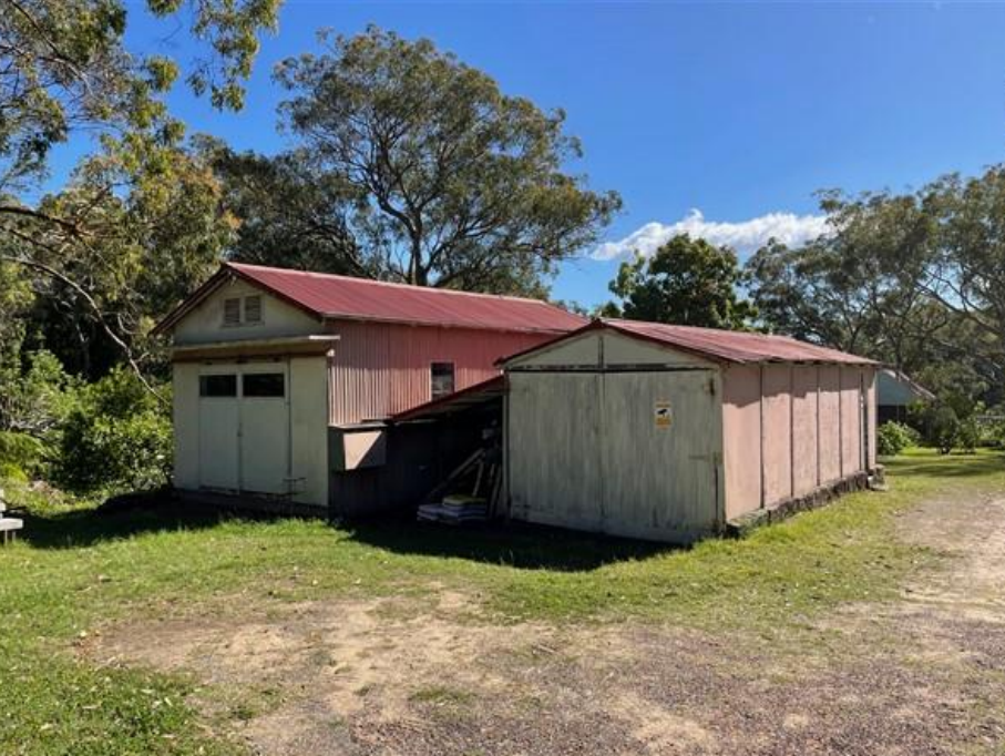
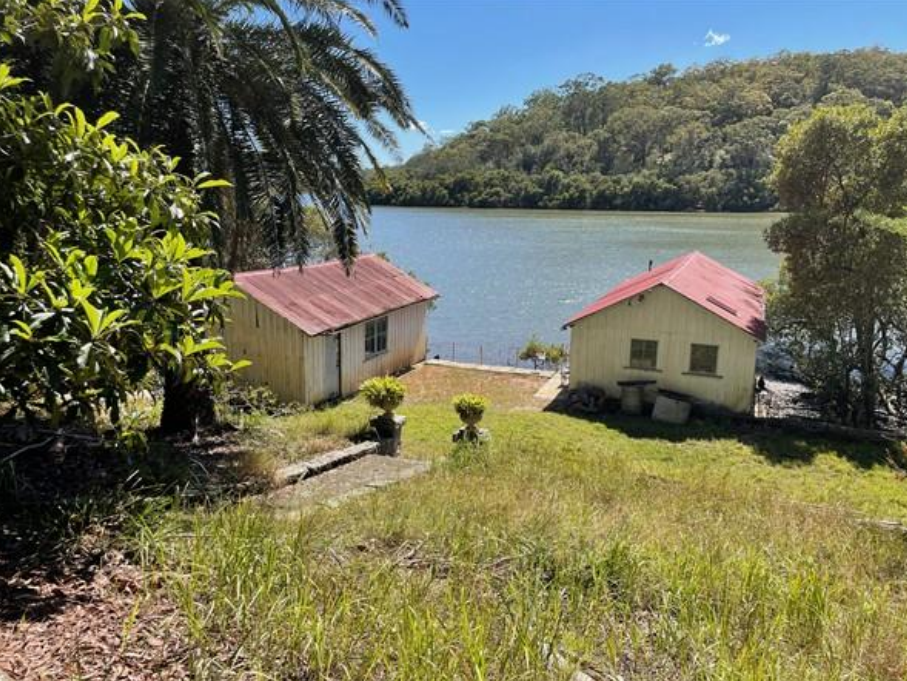
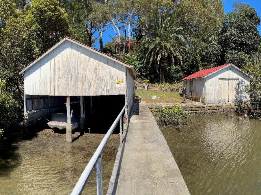
If you turn into Jacaranda and then Bayside Drive it will bring you to Heinrich Reserve. Explore the lower part of the reserve which has an historic road made from sandstone blocks, with culvert, foundations of jetty and oyster farm structures.
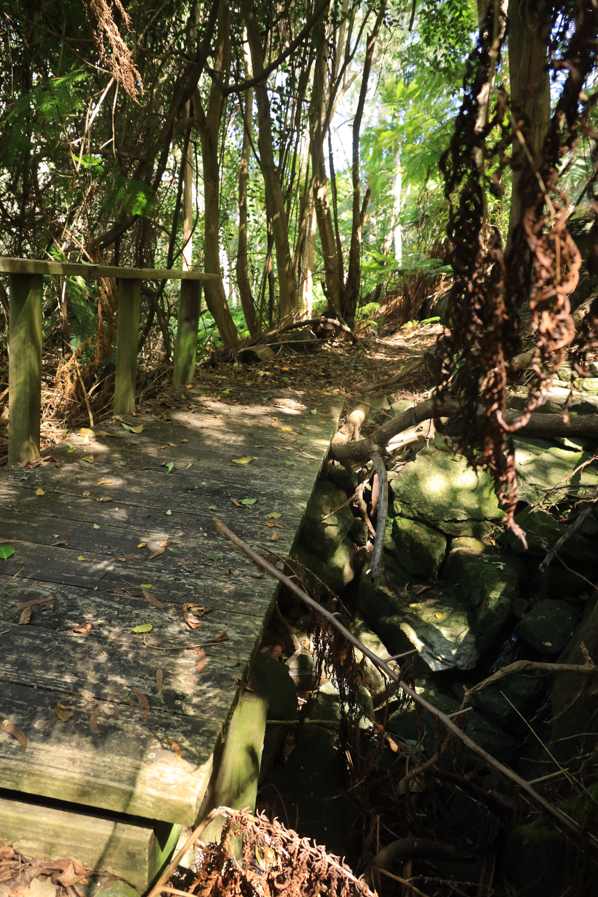
The Heinrich steps take you down to the creek and wetlands, and you can turn right to see more of the historic Glenlee or left to follow the walk through to Gannons Park (which becomes a separate walk).
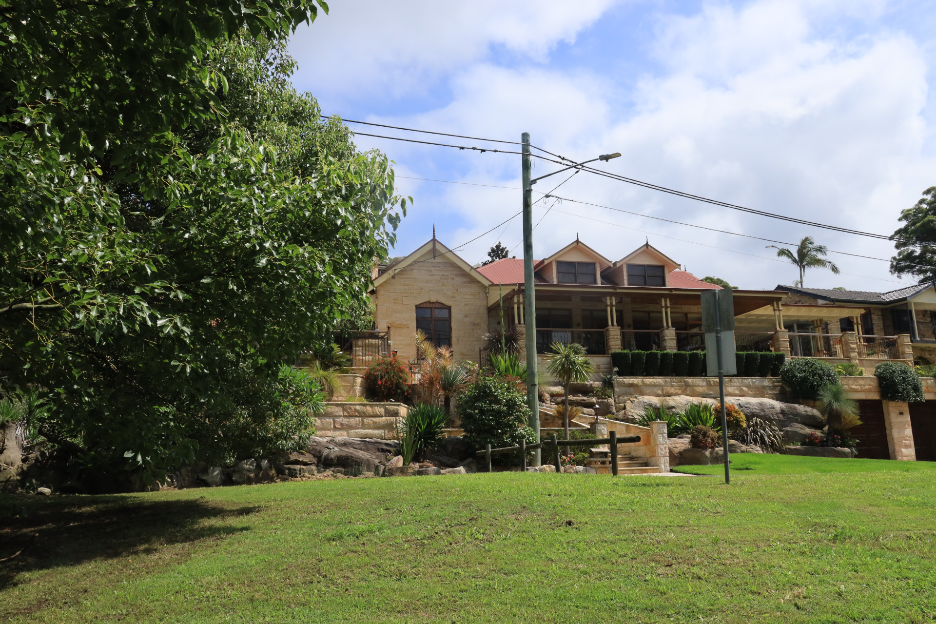
At 1 Bayside Drive is the Hermitage House, and behind the fence is Glenlee.
For additional satellite views showing changes over time on the Glenlee land, head to these YouTube videos by local historian Ron Denholm:
https://youtu.be/vqzYERWDGy8?si=mrvBkPo3ZtH_RwgU https://youtu.be/4Wri2-soHVQ
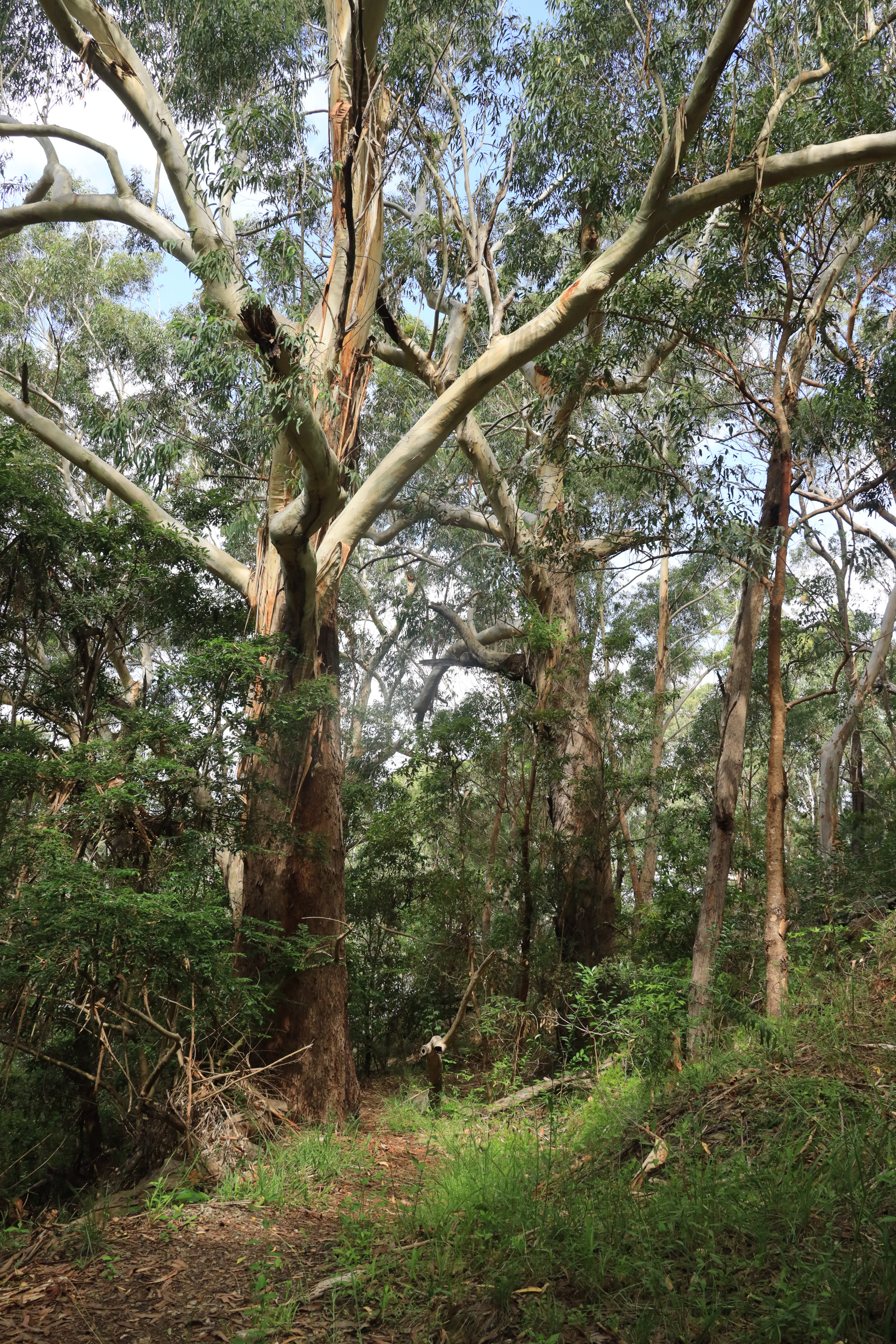
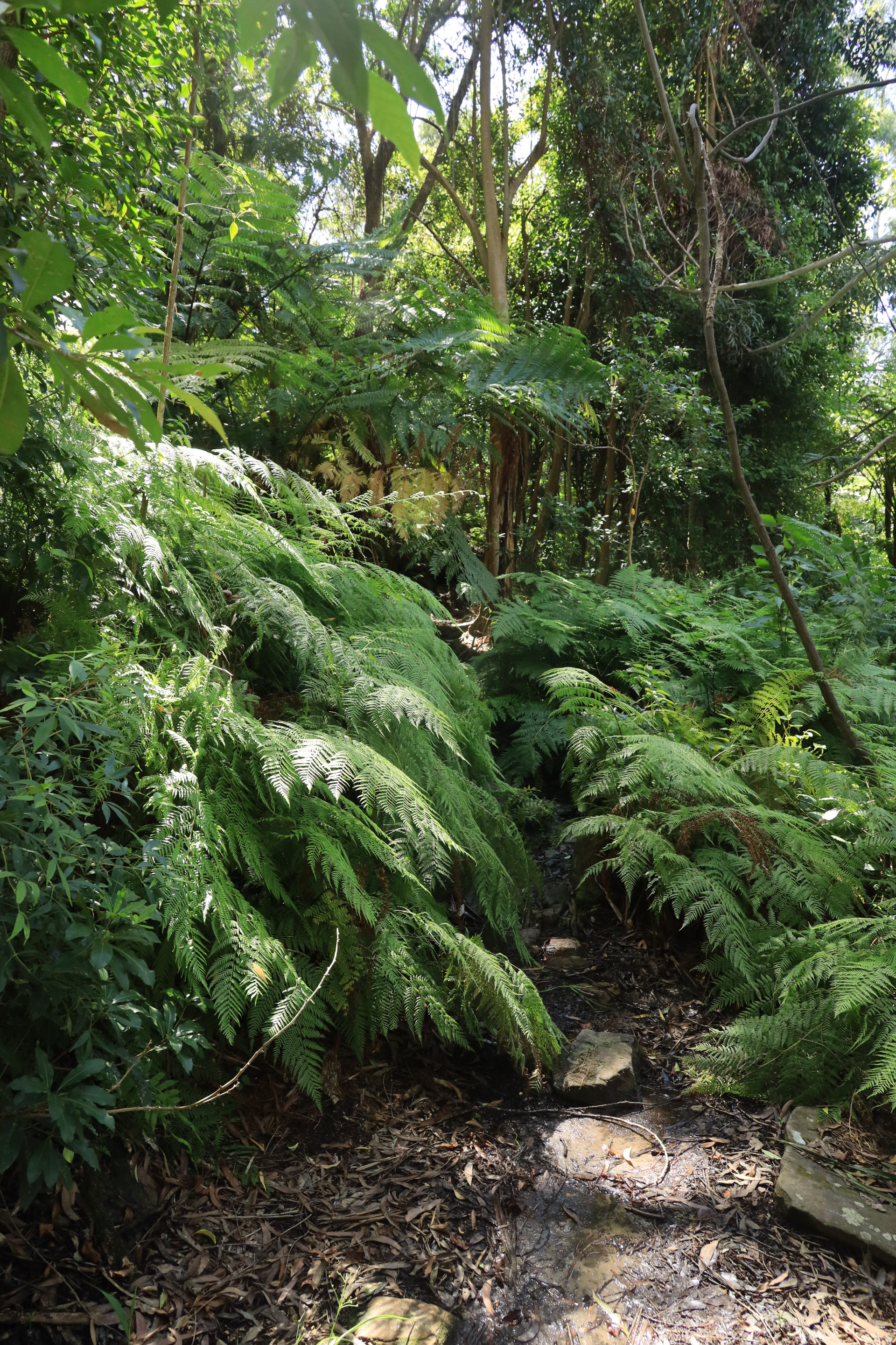
Walk Layout
Wildlife on this Walk
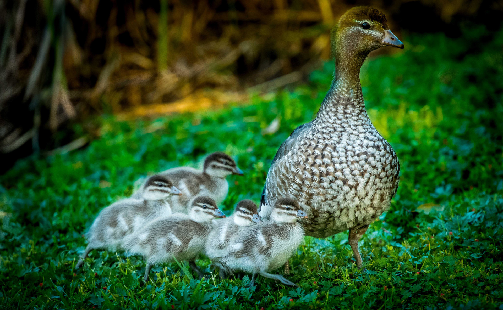
Chenonetta jubata
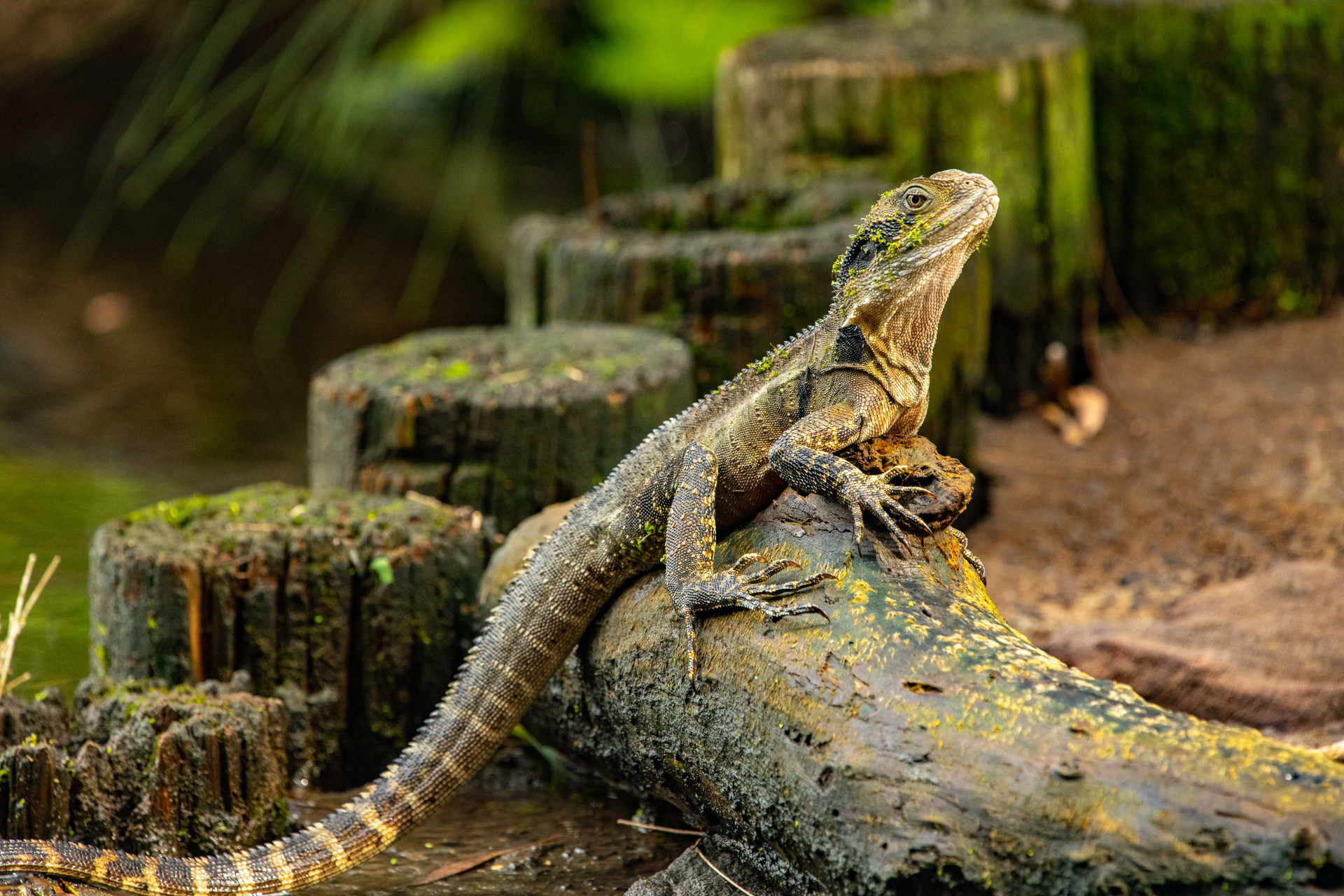
Intellagama lesueurii lesueurii
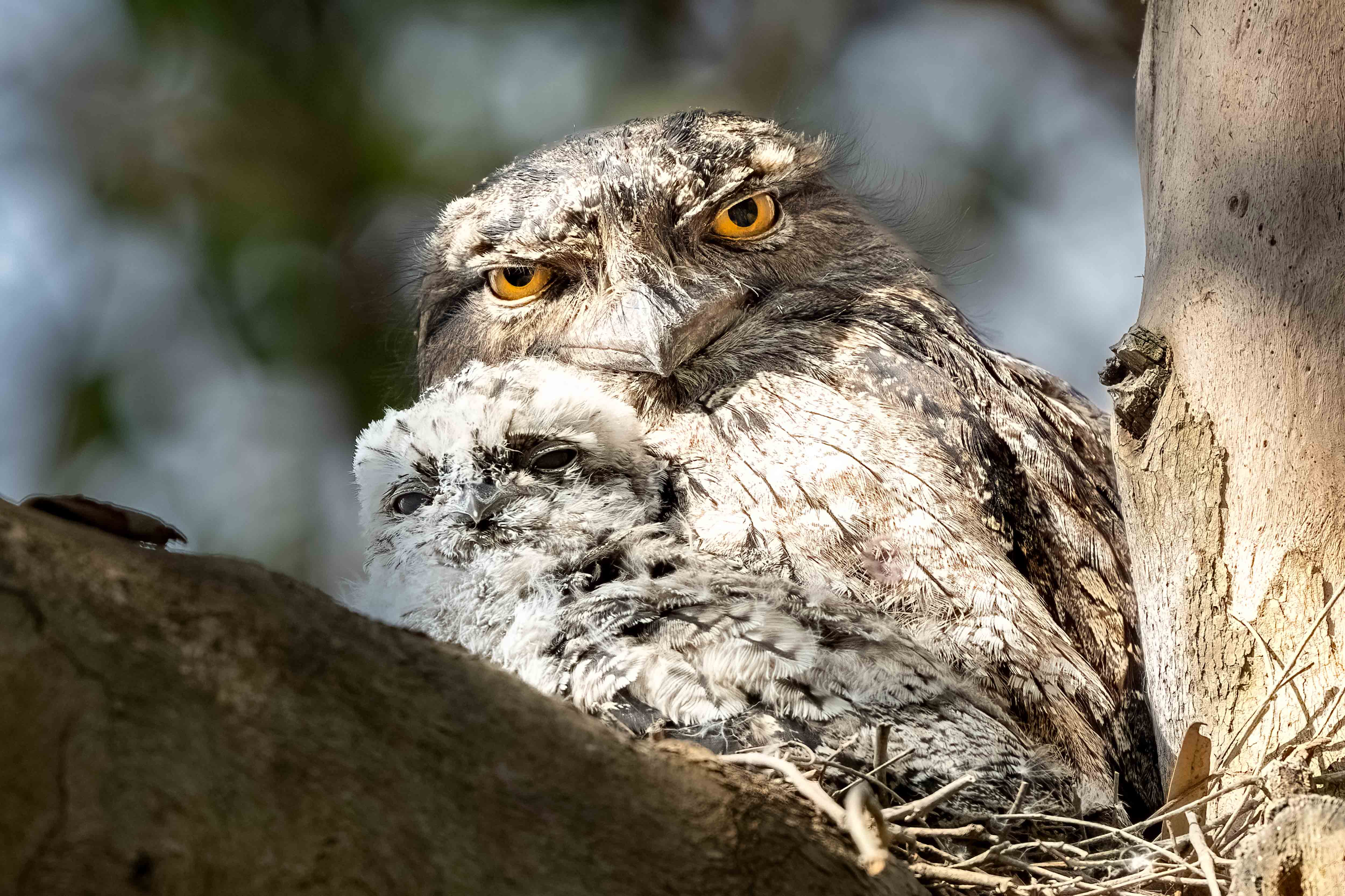
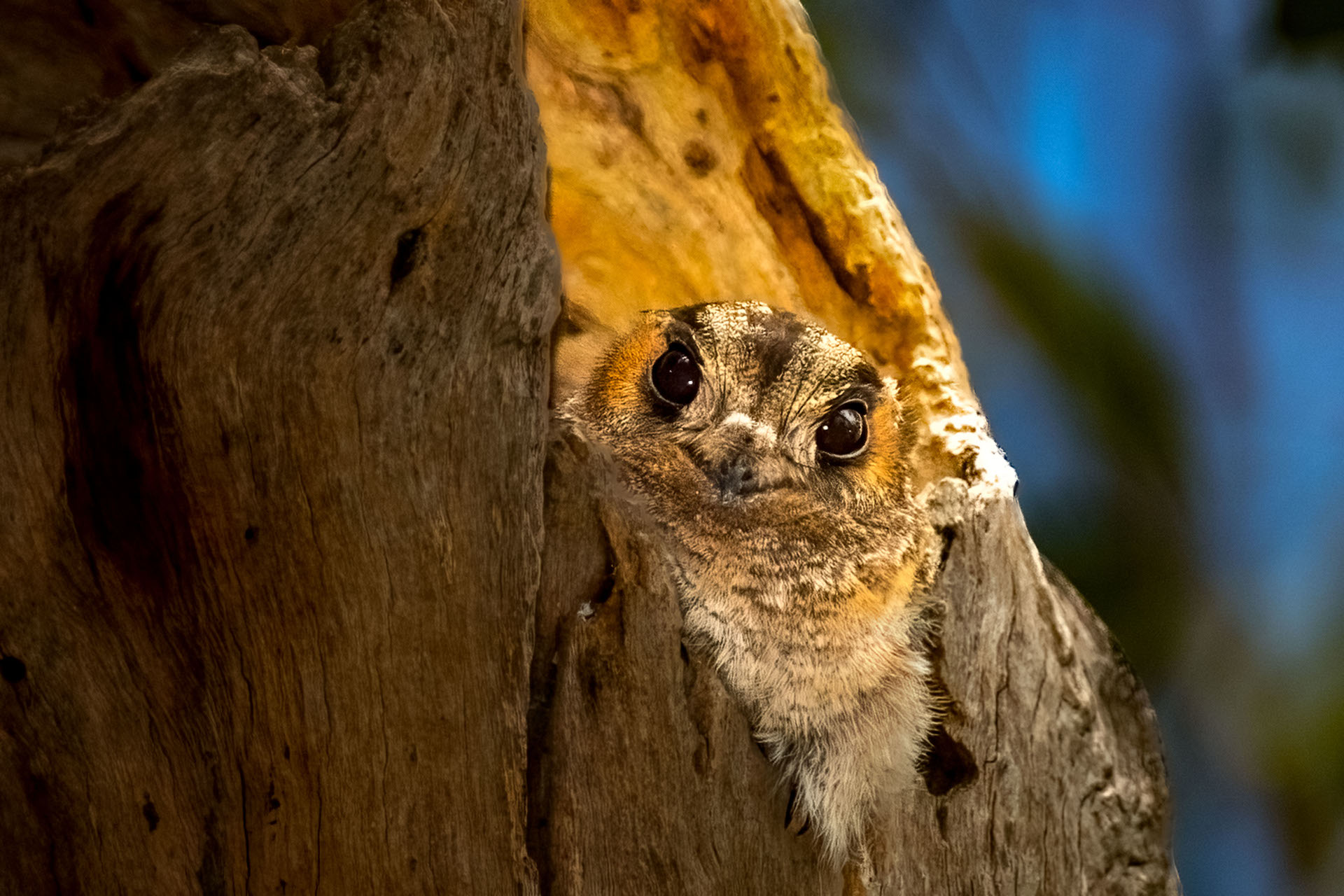
Podargus strigoides
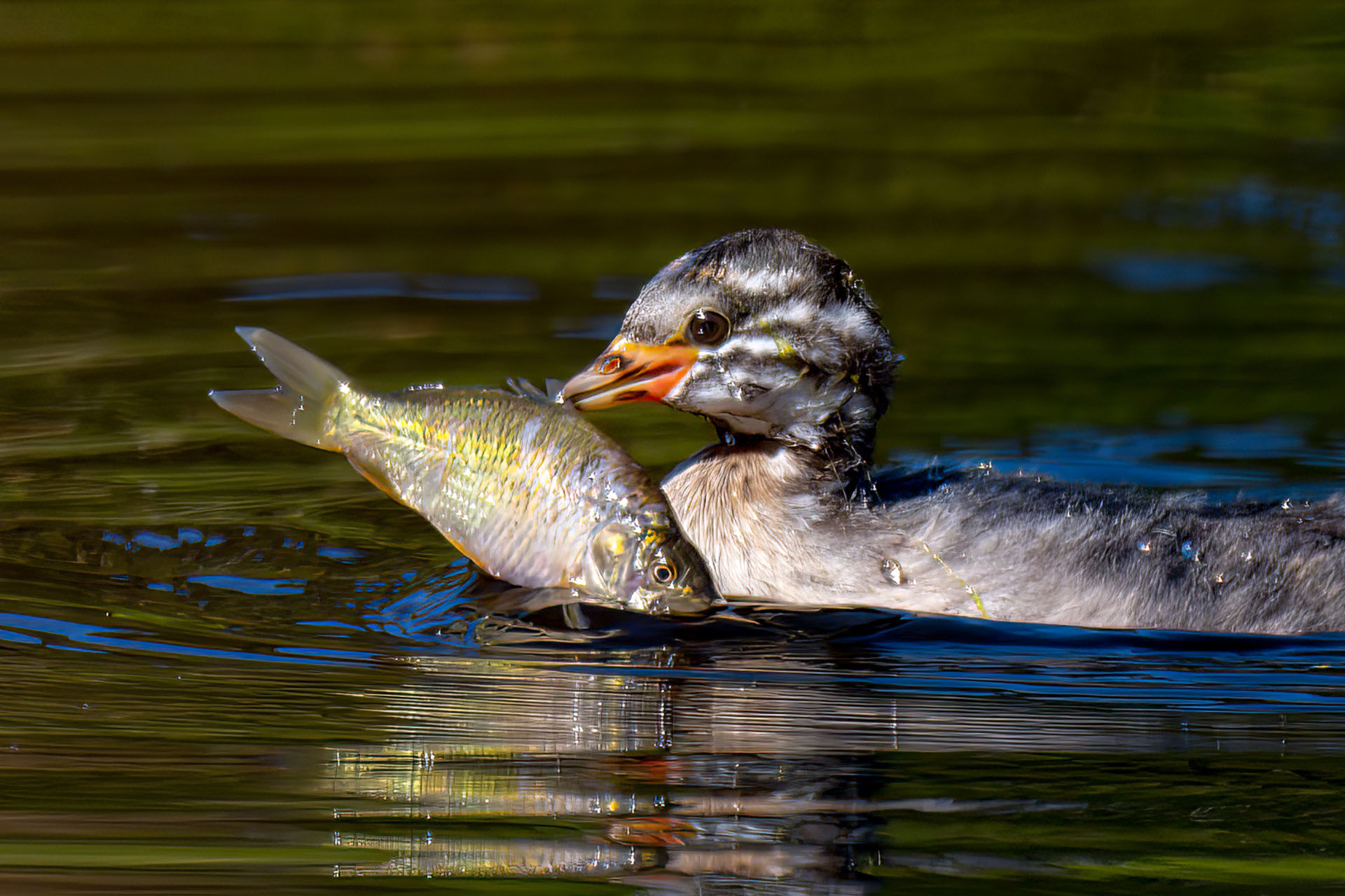
Tachybaptus novaehollandiae
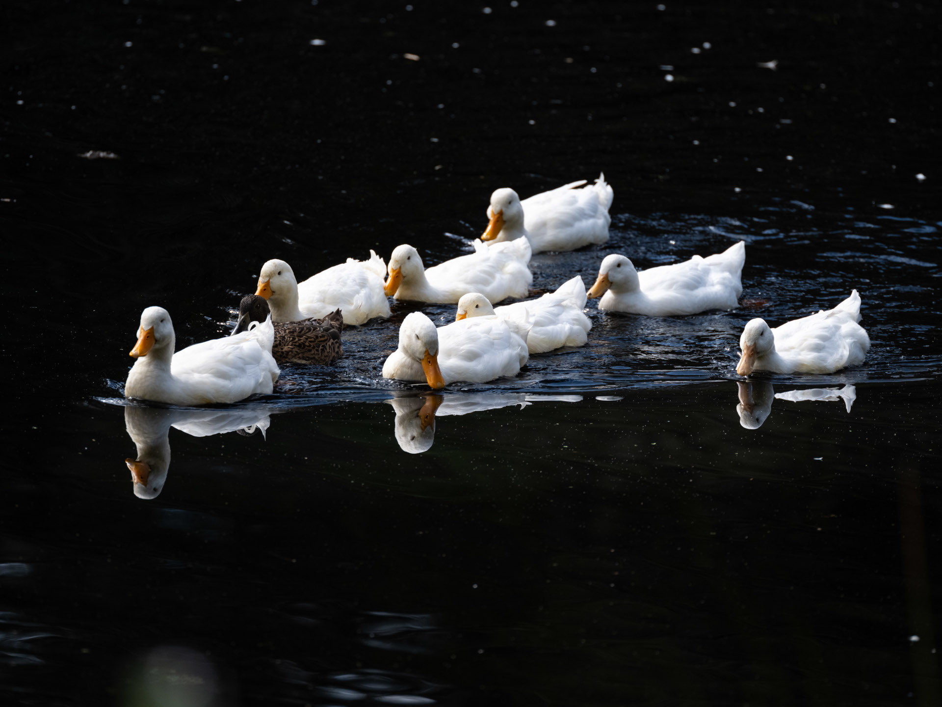
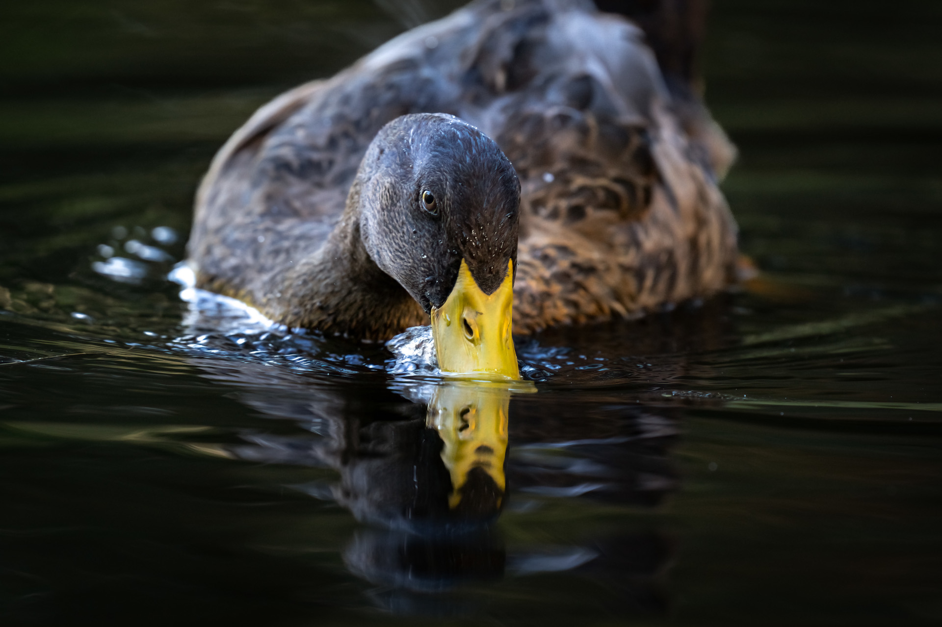
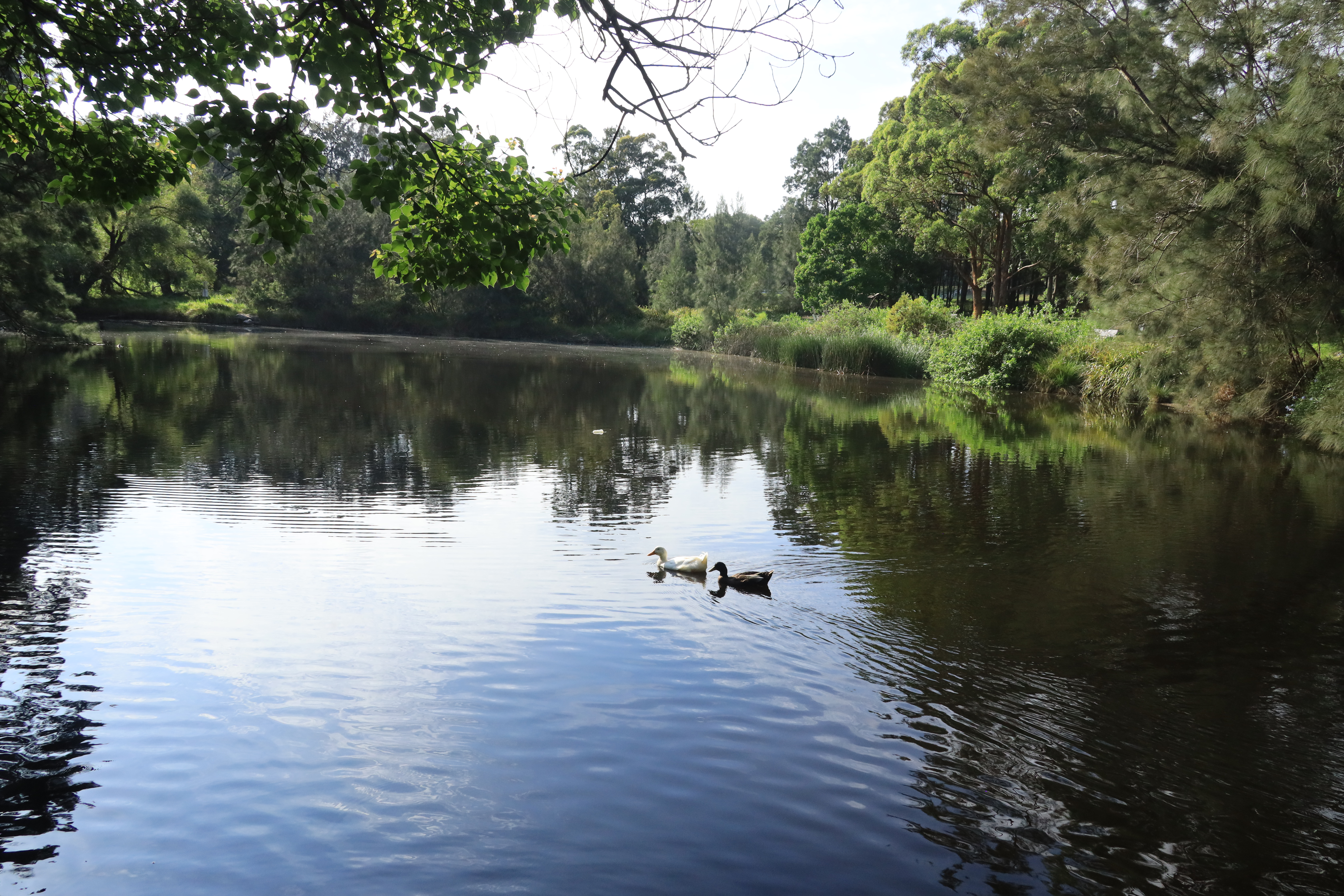
Anas platyrhynchos domesticus
Aegotheles cristatus
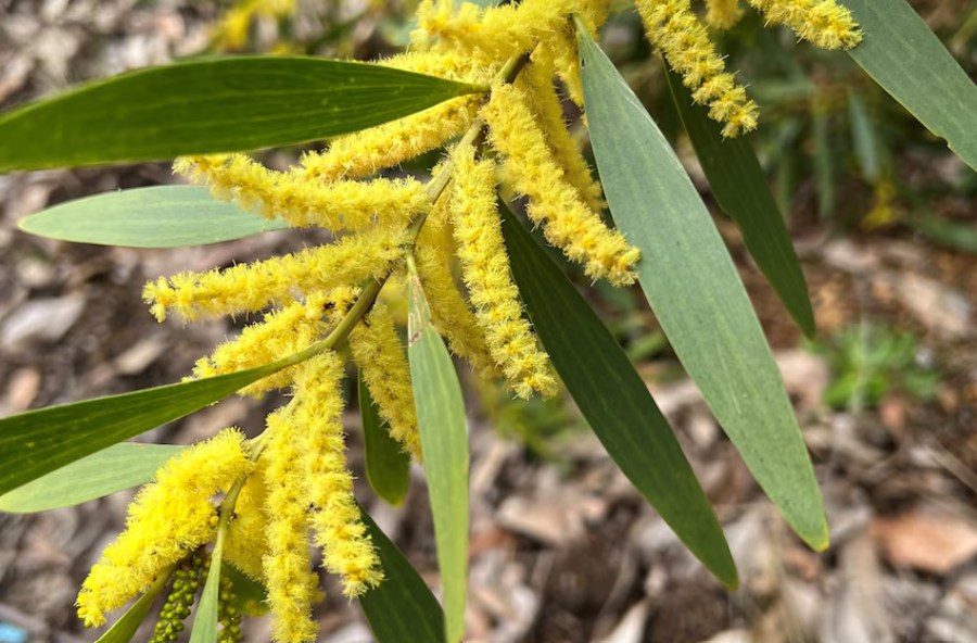
Acacia Longifolia
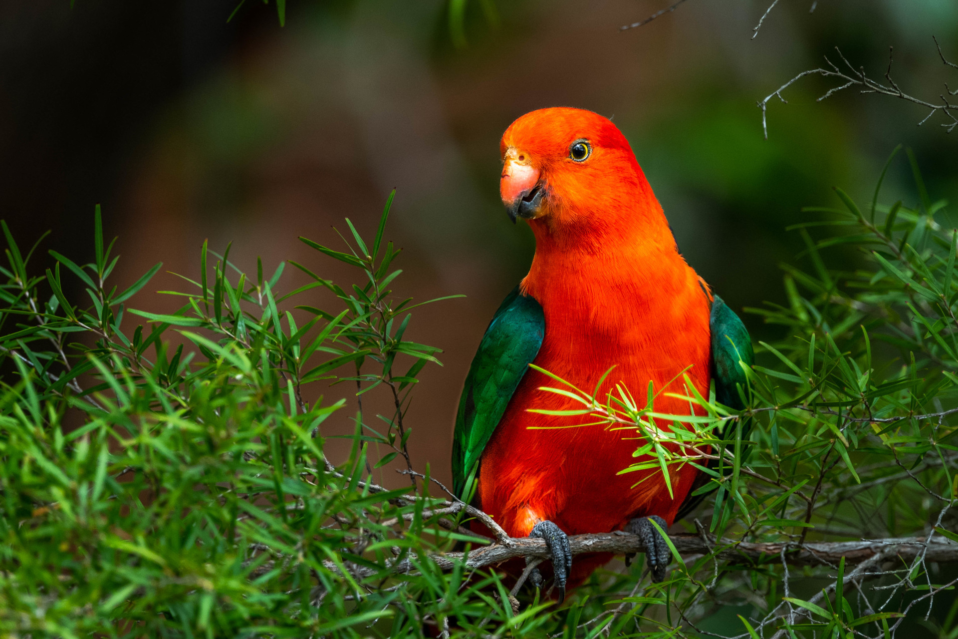
Alisterus scapularis
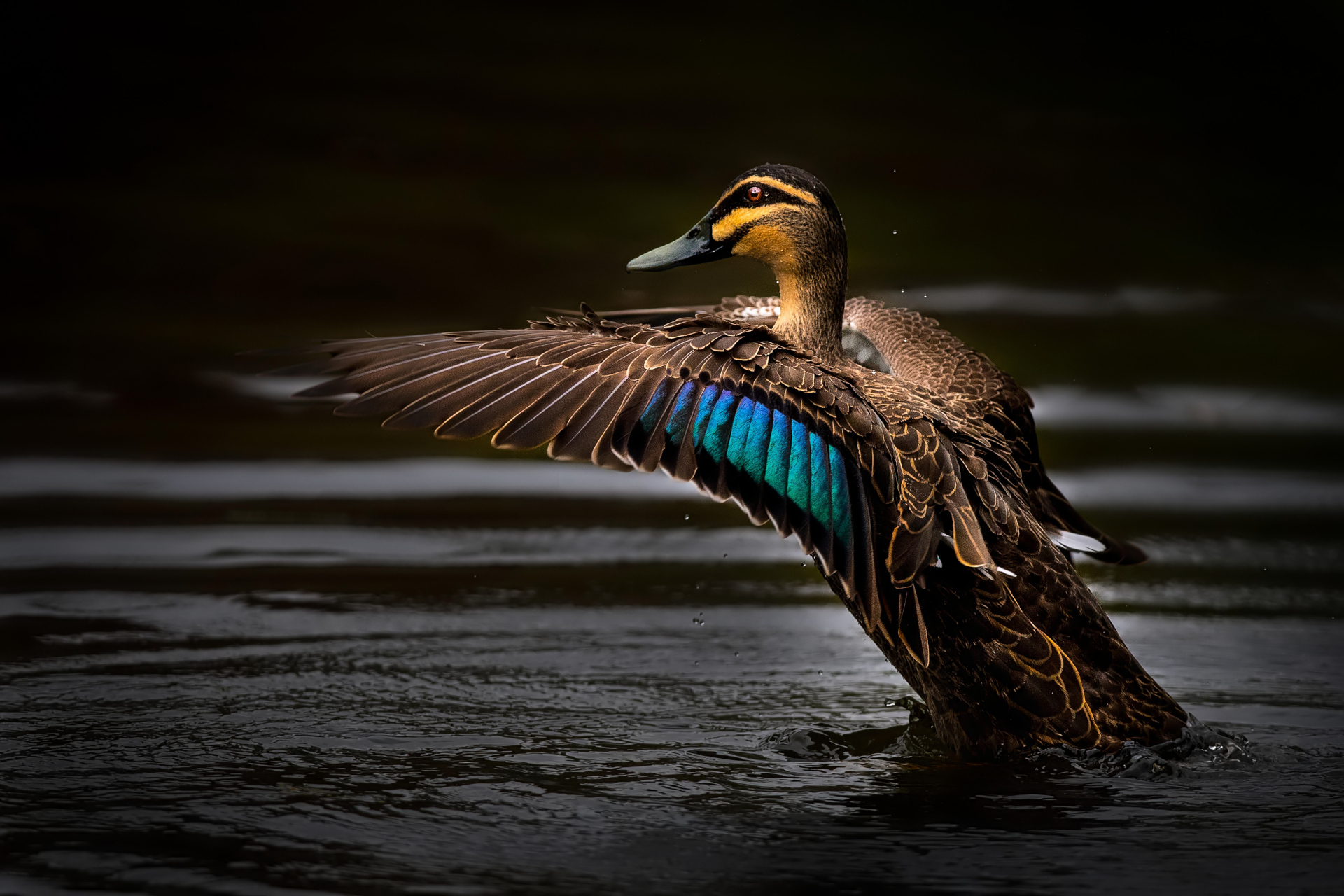
Anas superciliosa
Angophora costata
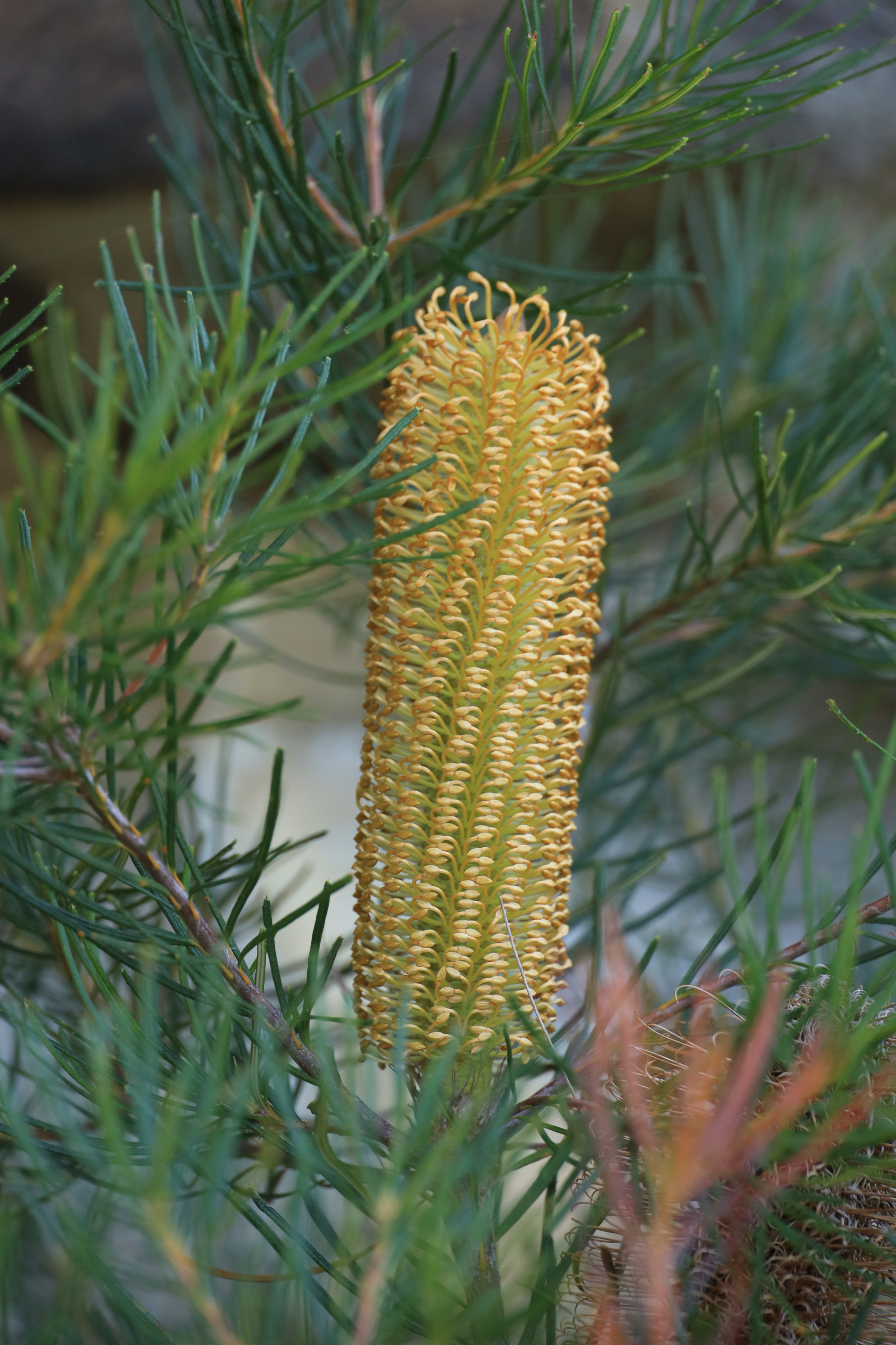
Banksia spinulosa
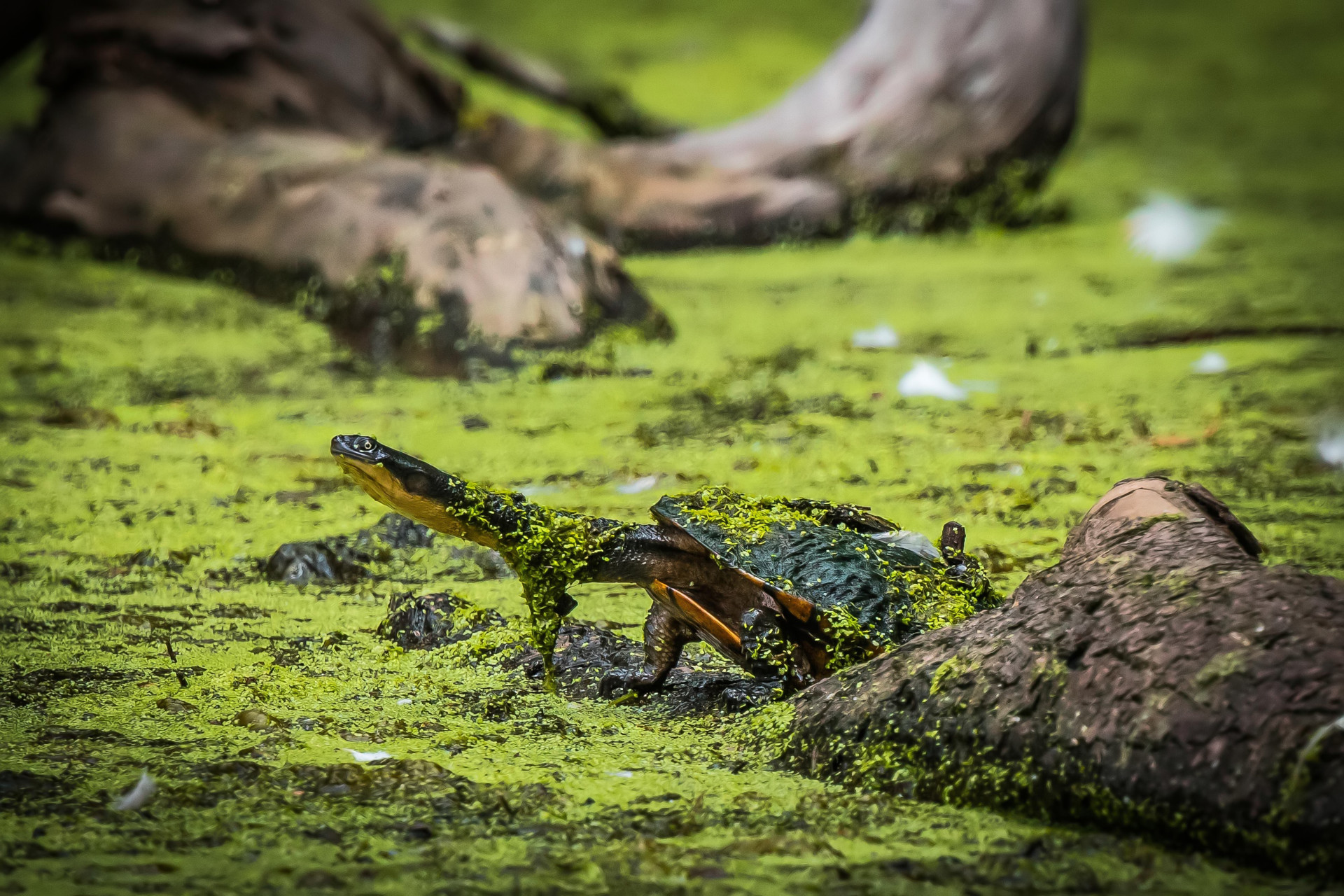
Chelodina longicollis
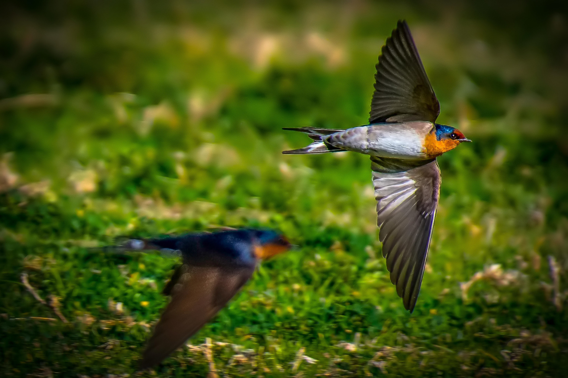
Hirundo neoxena
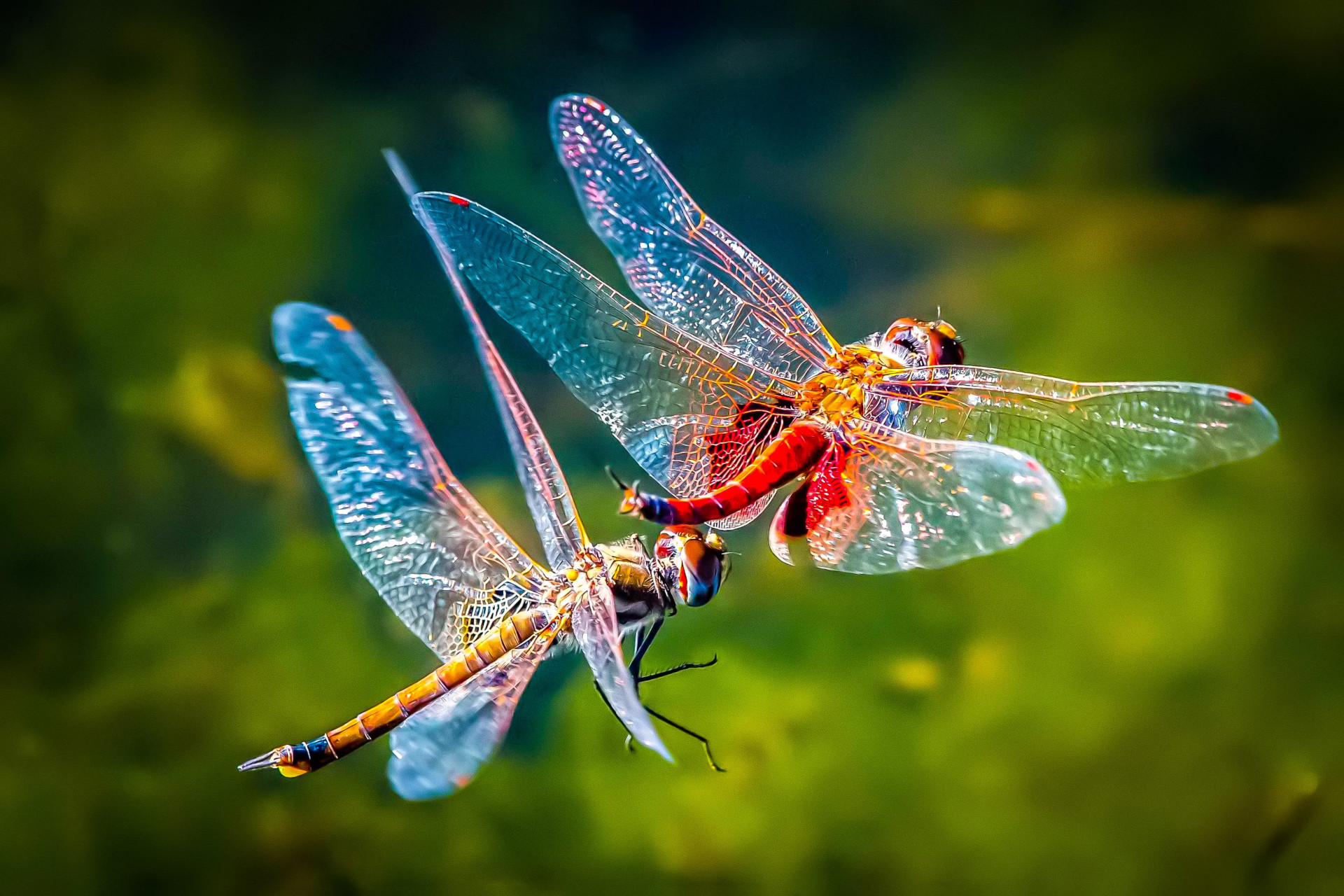
Tramea loewii

Trichoglossus Moluccanus
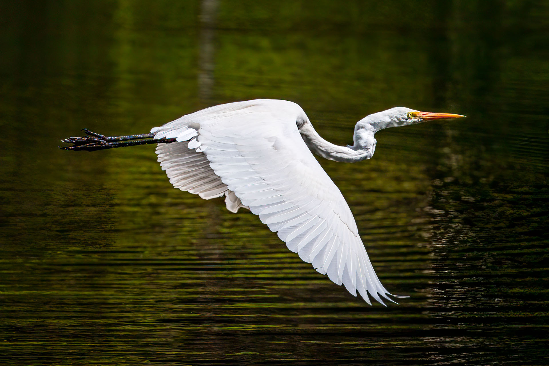
Ardea alba modesta
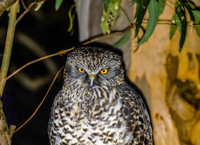
Ninox strenua
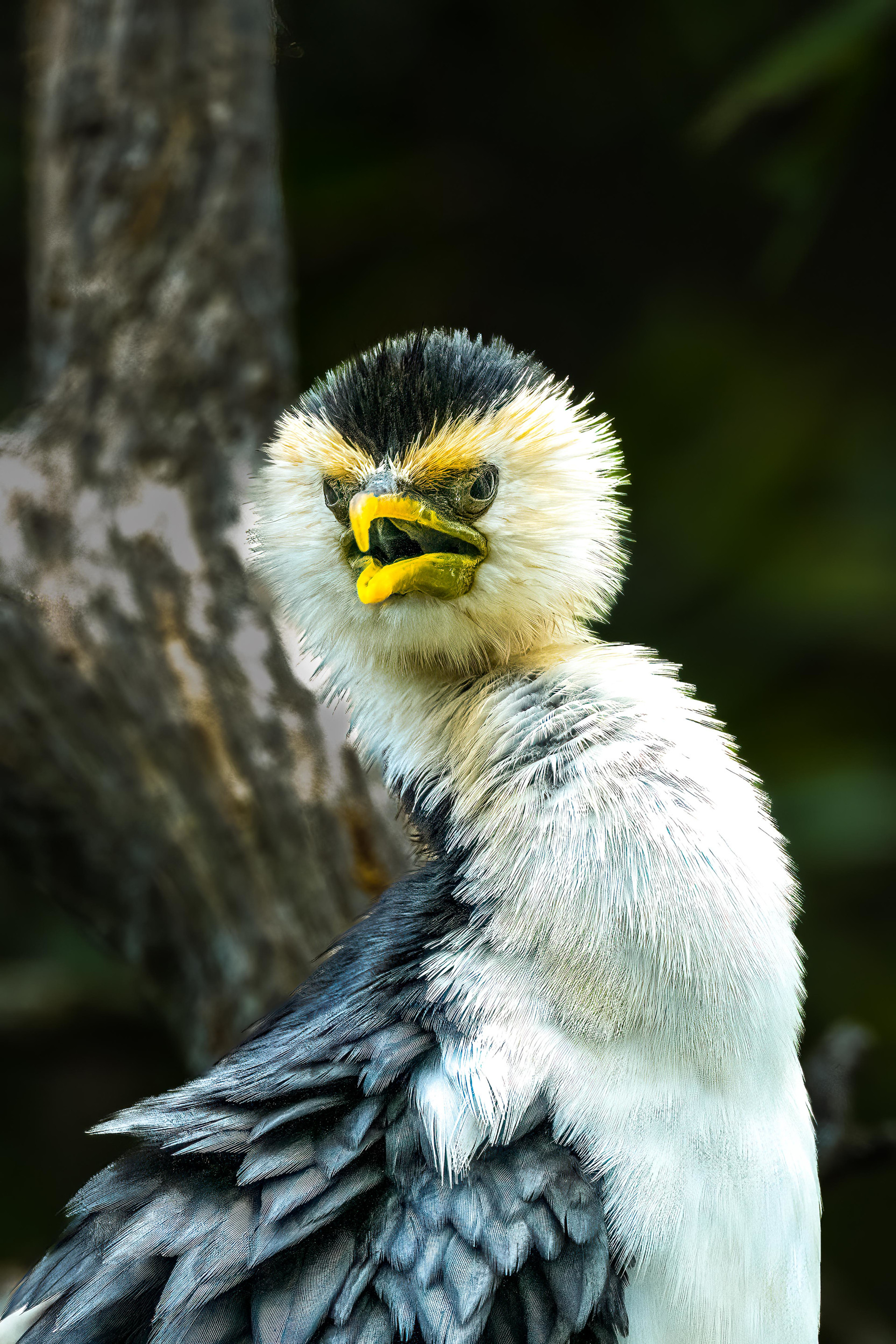
Microcarbo melanoleucos
Eucalyptus pilularis
Anas castanea
Cyathea cooperi
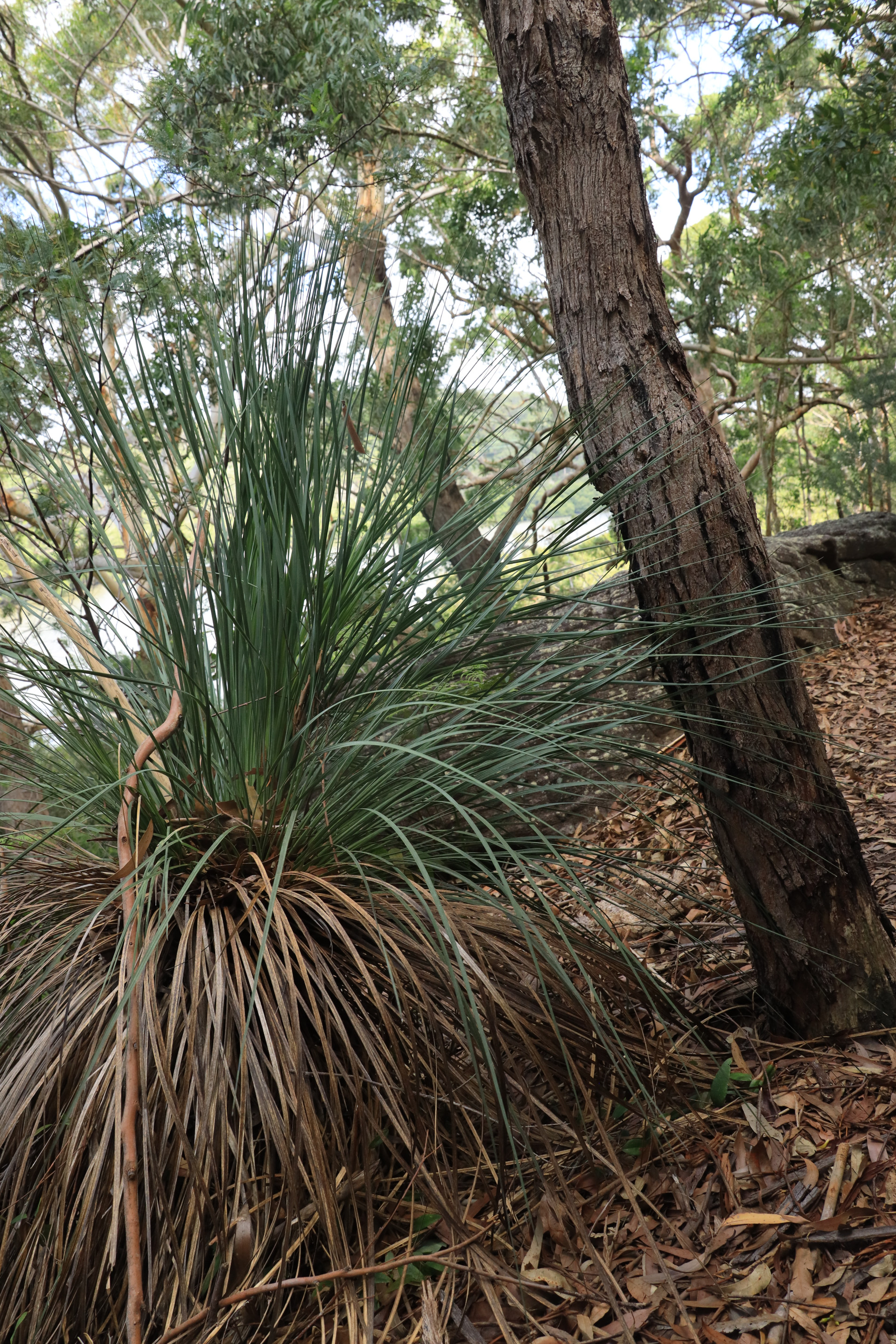
Xanthorrhoea
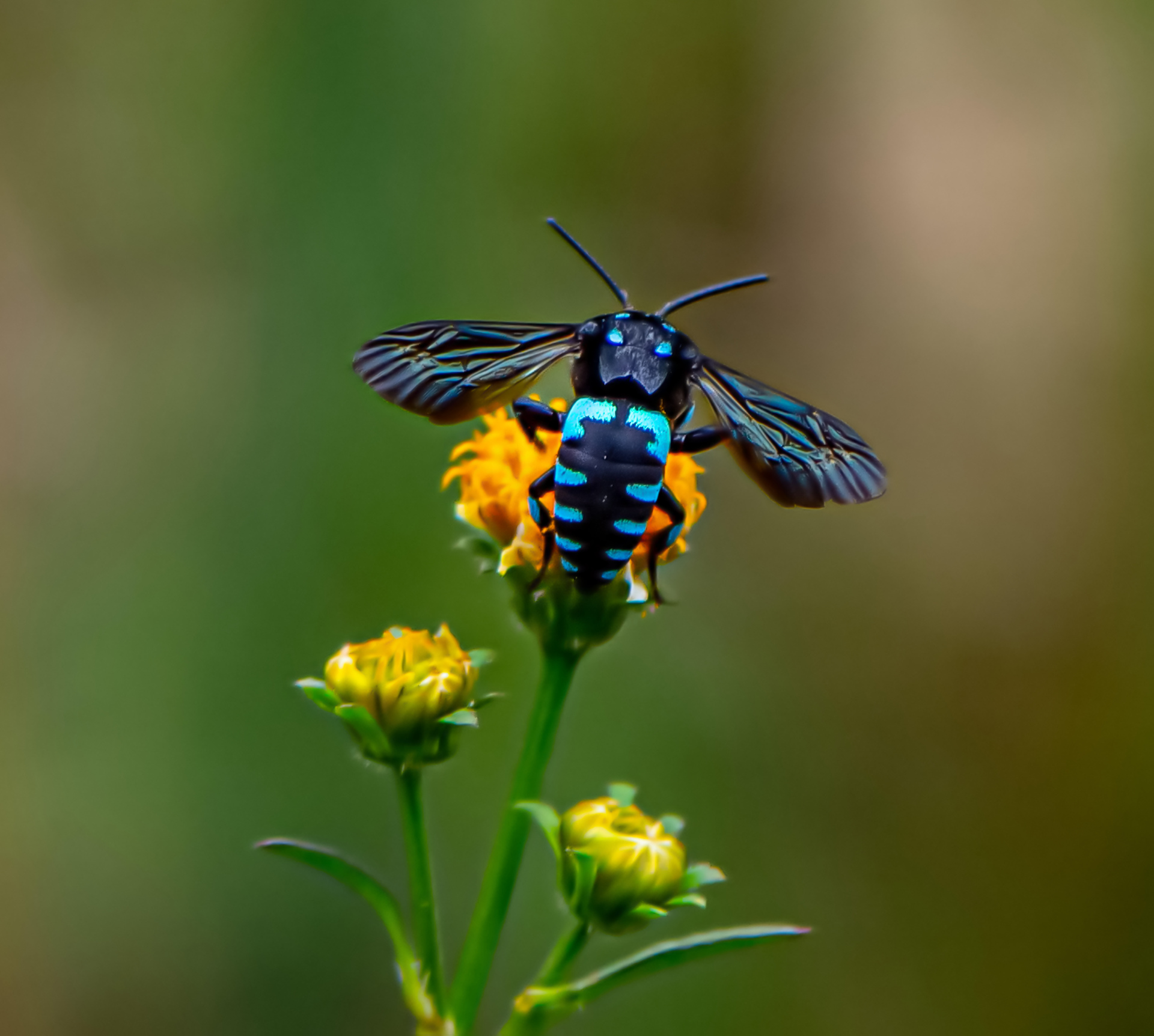
Thyreus nitidulus
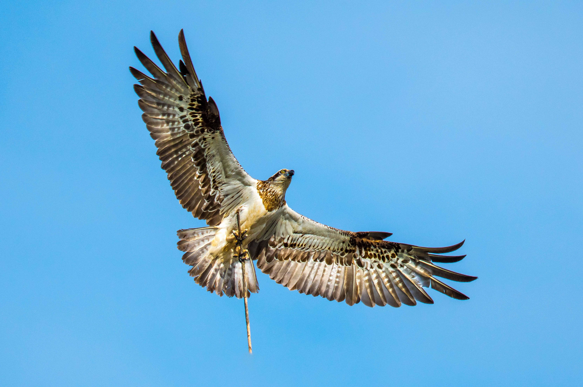
Pandion haliaetus
Images

Points of Interest
Bushwalking tracks are natural environments with inherent risks, including rapid weather shifts, changing terrain, and limited mobile coverage.
Information provided by Lugarno Progress Association is a guide only.
Walkers are responsible for assessing their own fitness, ensuring proper equipment, and checking live local alerts (such as the Hazards Near Me app) before setting out.
Always let someone know of your planned route.
Lugarno Progress Association accepts no liability for any loss, injury, or damage incurred by relying on this information.