Summary
An easy downhill walk to the foreshore but uphill all the way back.
About This Walk
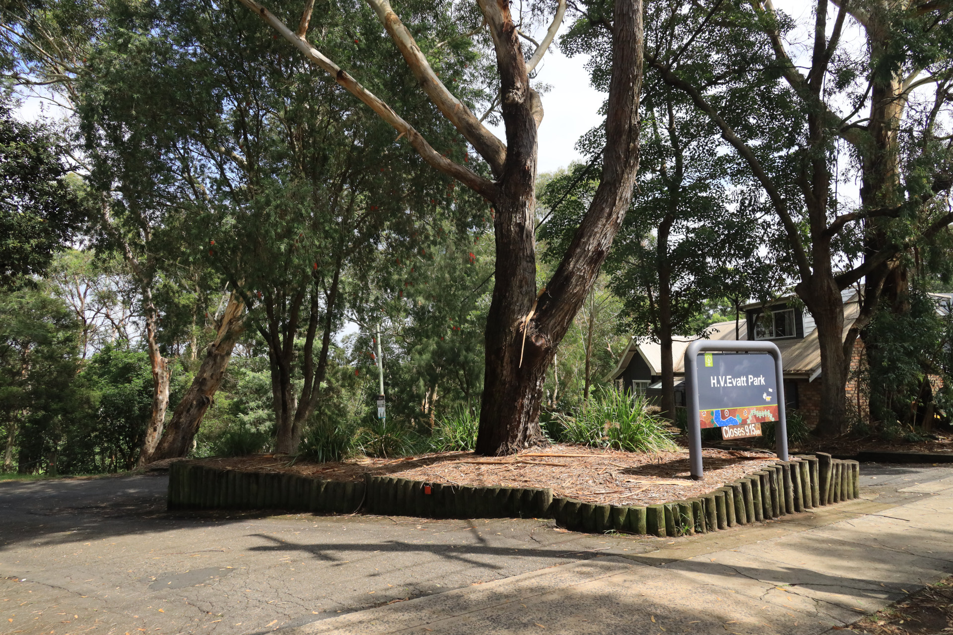
Start your walk from Webbs Dam to enjoy the local wildlife, then head to the entrance to Evatt Park on Forest Road.
Read about H.V. Evatt at the entrance to the park.
Continue down Forest Road towards the intersection with Old Forest Road. To the right of the roundabout is Lugarno Primary School.
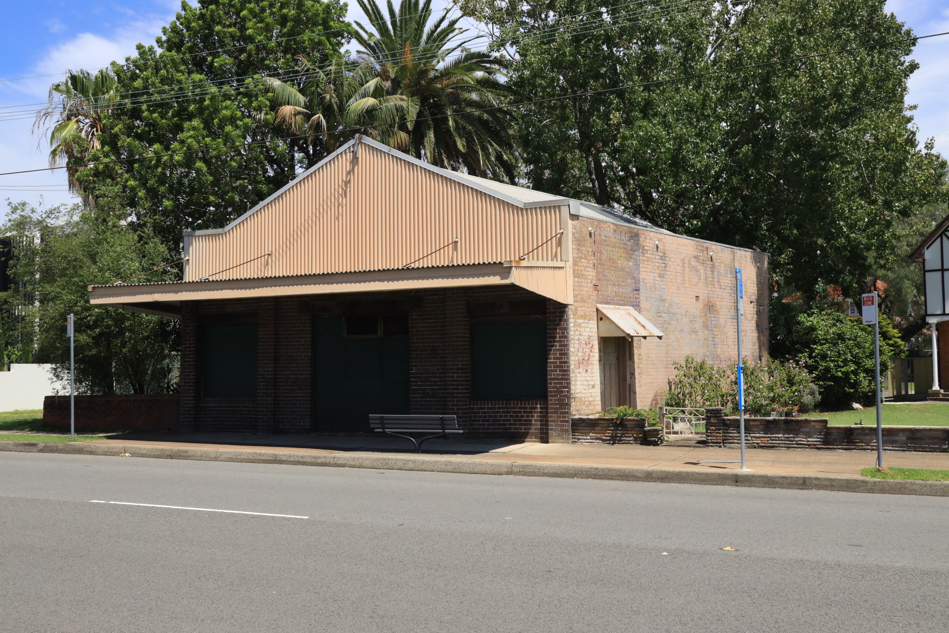
Along Forest Road you will come to The Old Shop, still showing remnants of its history with the Bushells tea sign visible.
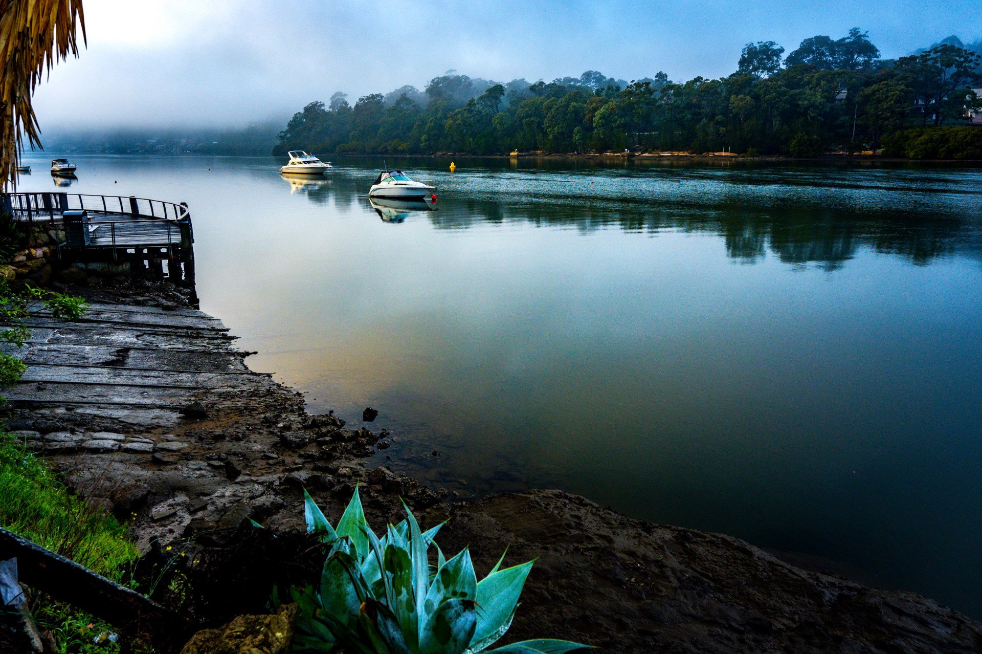
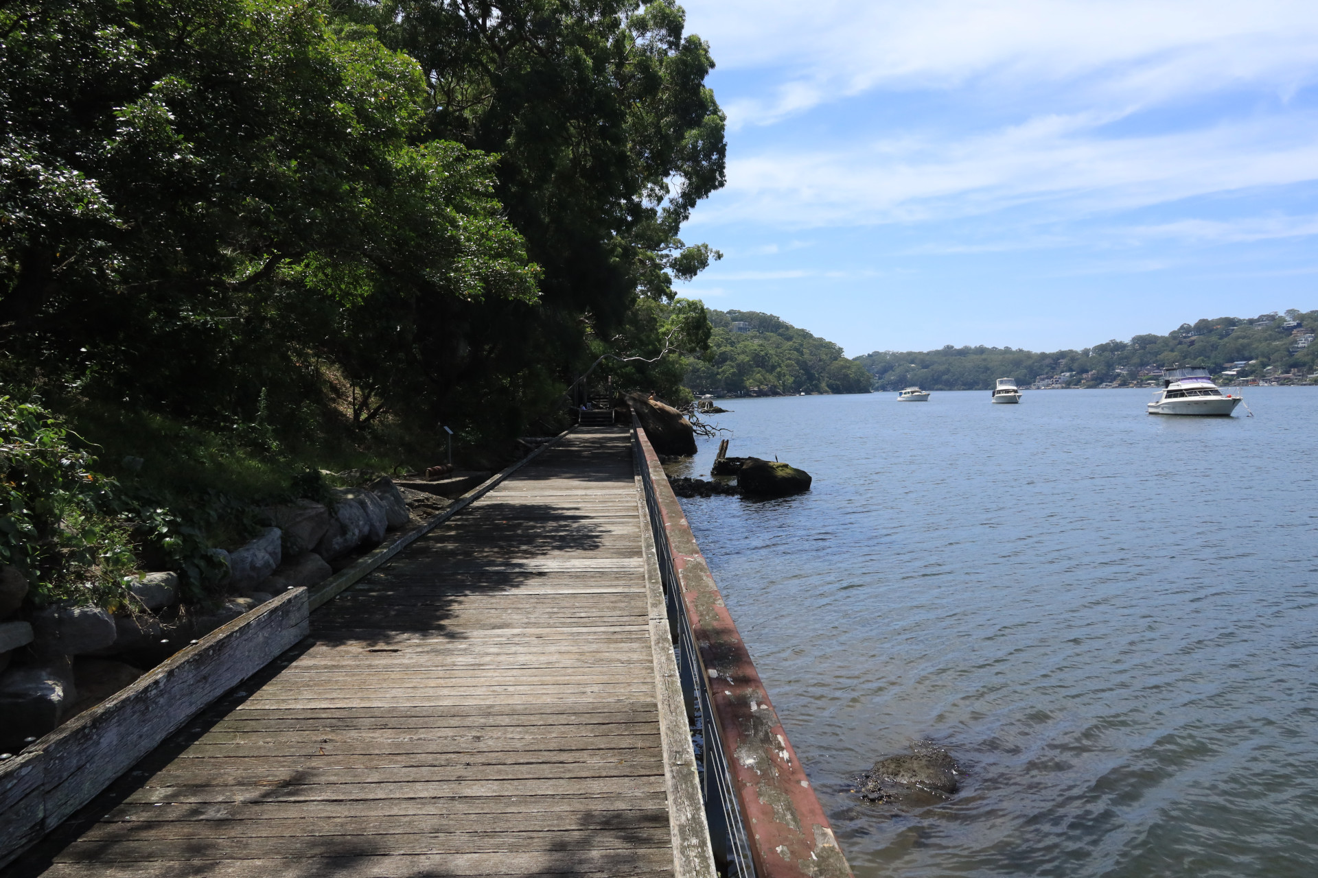
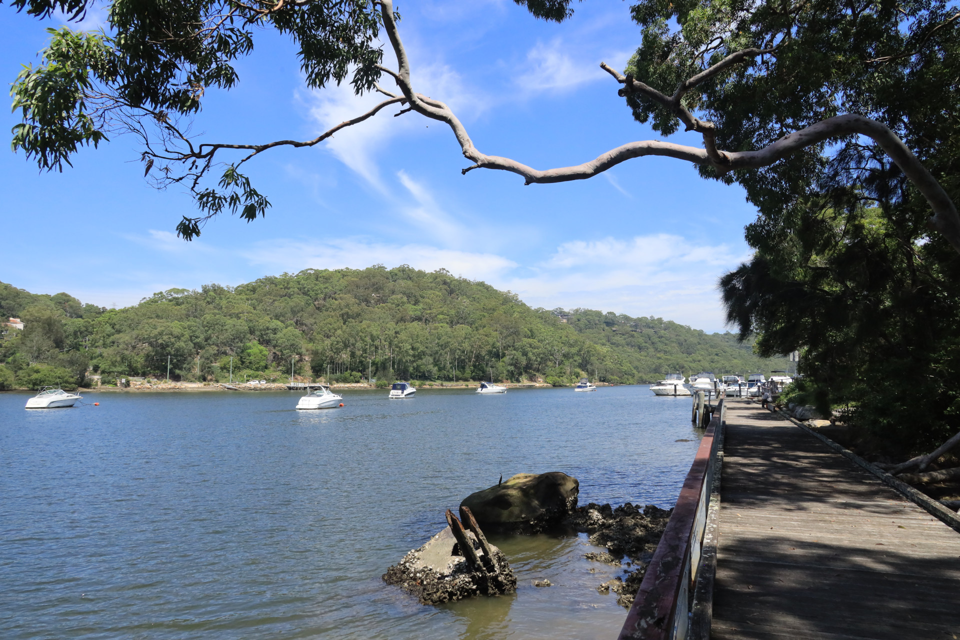
Continue around the bends and turn right at the intersection of Forest Road and Lime Kiln Road and continue down the hill to Edith Bay.
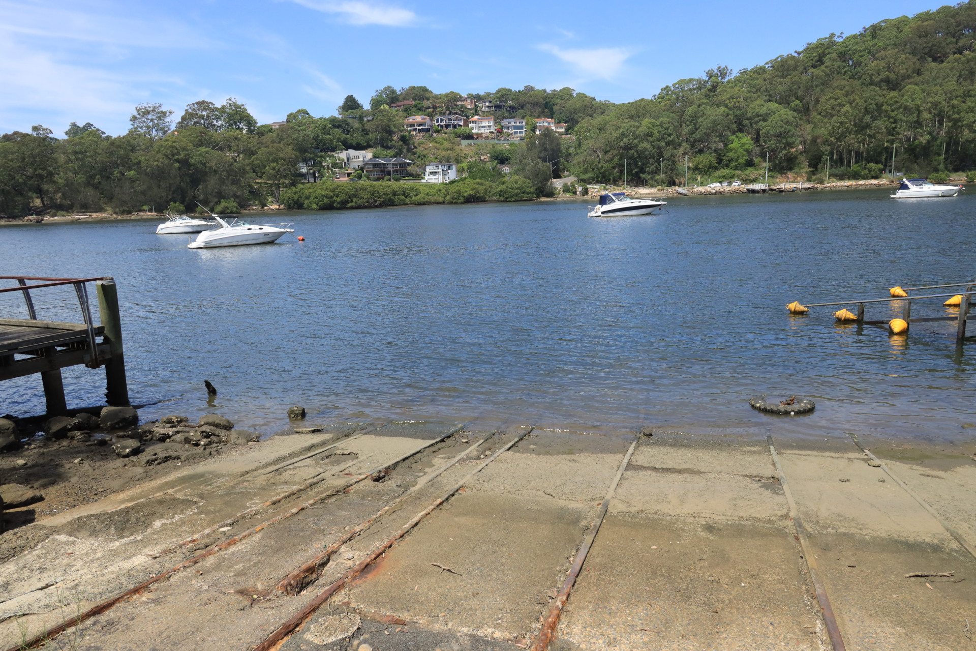
You can enjoy the juxtaposition of the old wharf remains next to the new modern jetty and kayak launching pad.
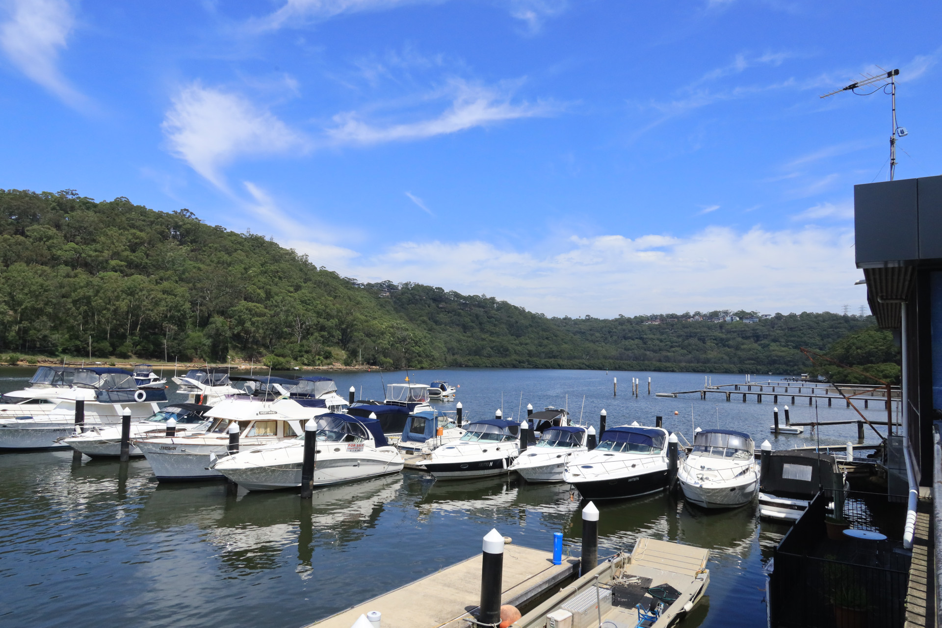
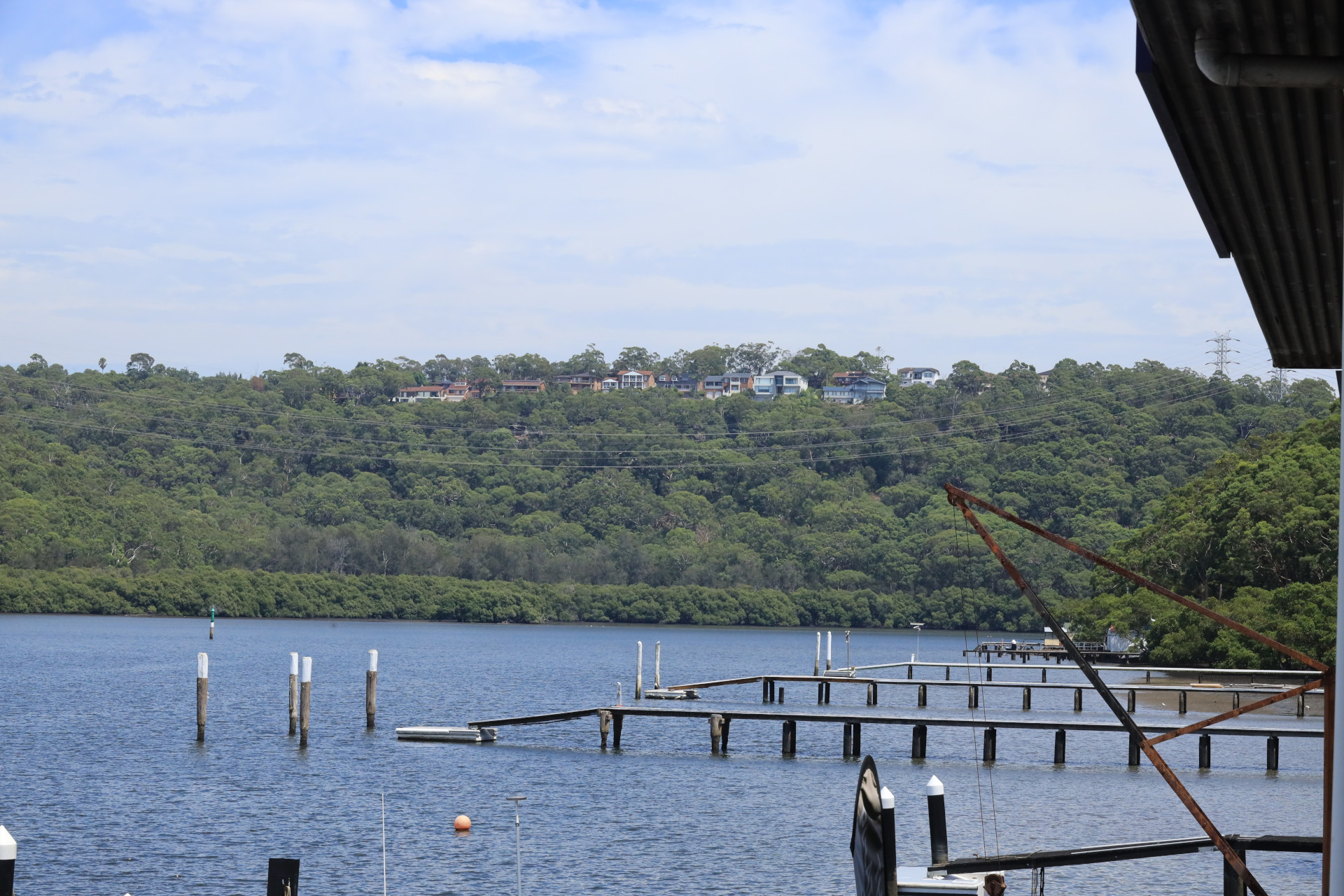
The seafood restaurant and marina provide a backdrop against the beautiful views of Georges River.
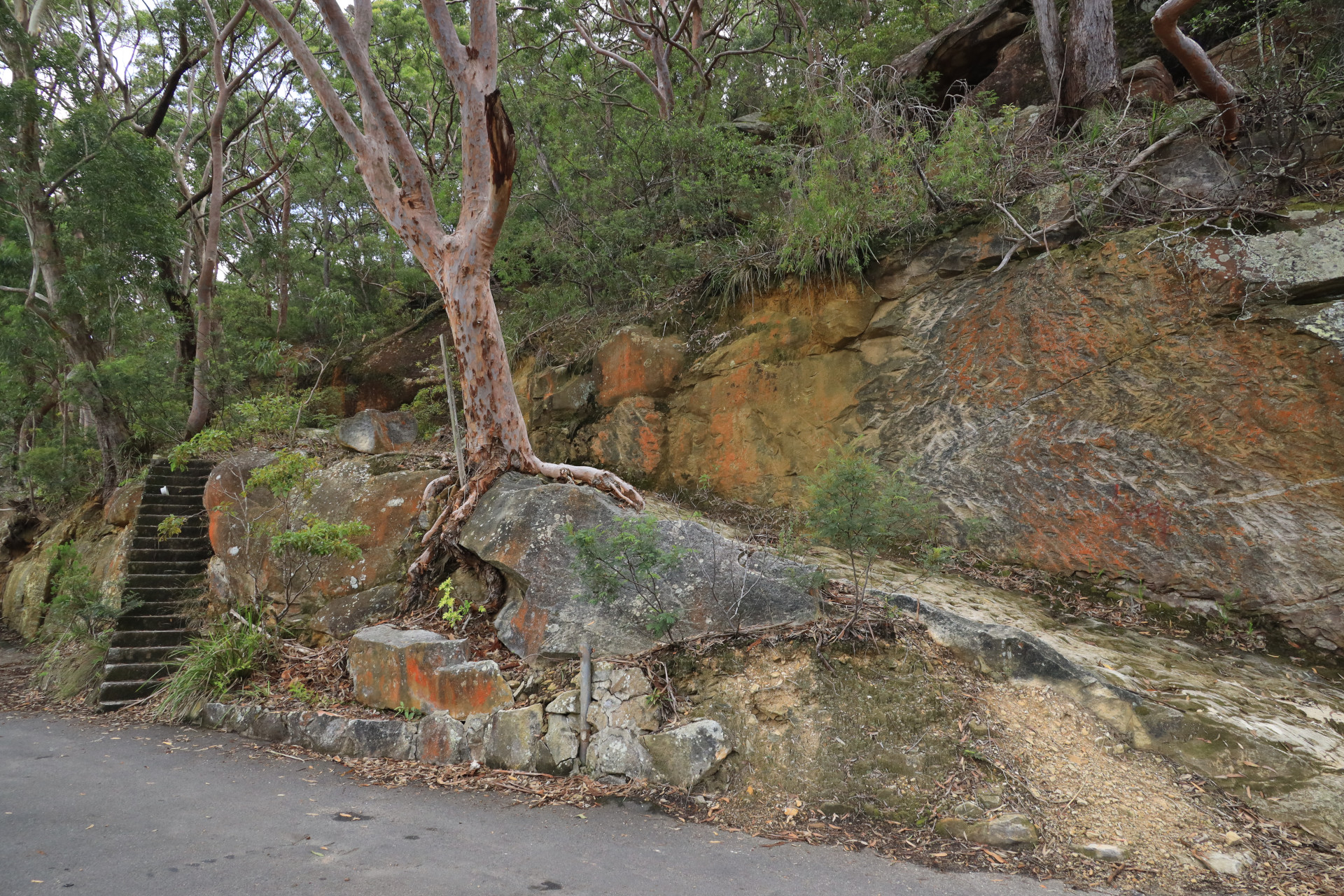
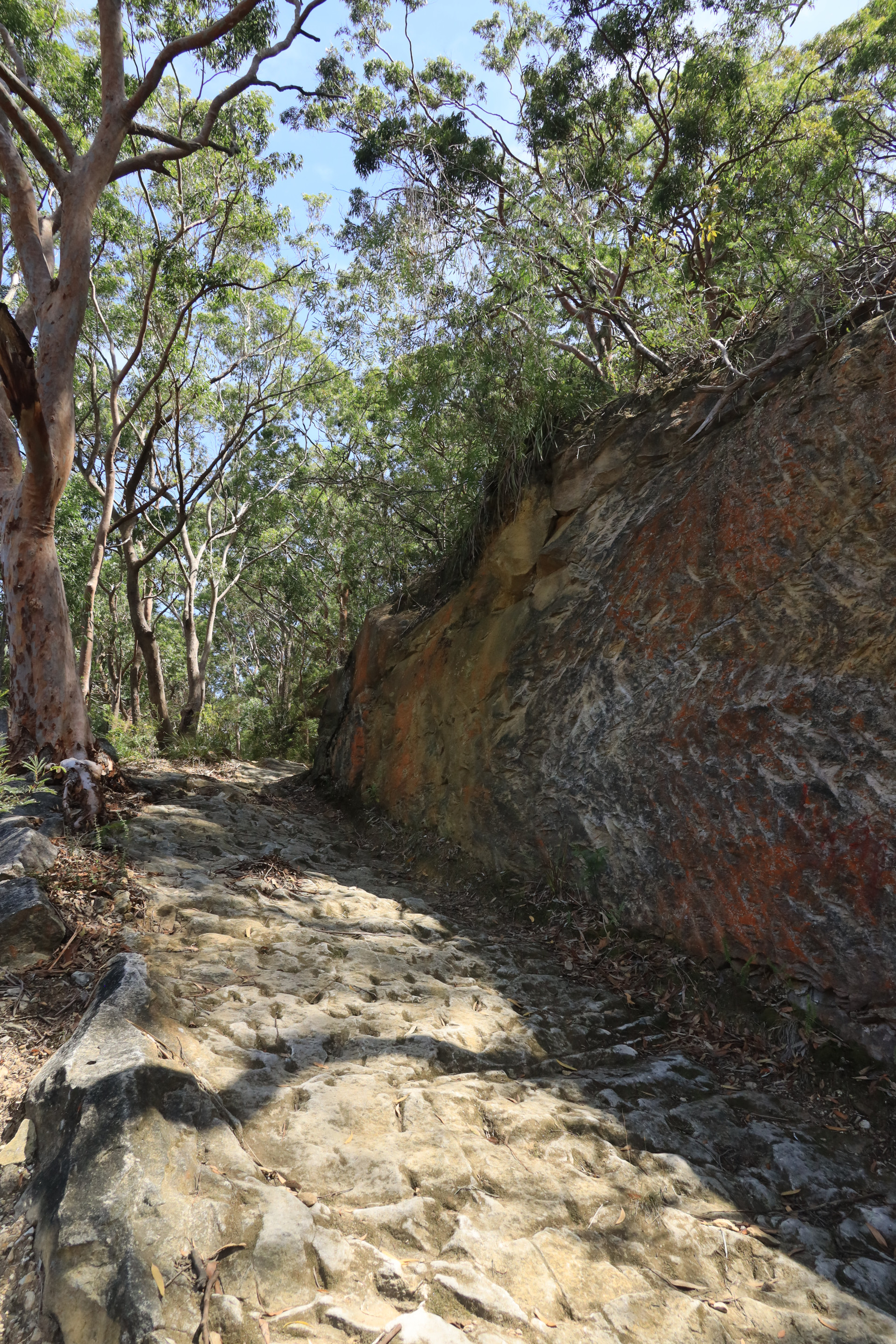
From here you can return uphill back to Evatt Park.
On the journey up the hill, think about the historical event that occurred on January 20th 1788 with Second Lieutenant Philip Gidley King and his crew from the HMS Supply. After they landed at Gertrude Point, Lugarno, they walked uphill until they reached the fertile volcanic soils in Evatt Park. Before they could discover the fresh water stream nearby, they were confronted by 12 local indigenous people who threatened them with spears as a warning to go away. More about this story can be read here (NB: journal compiled by Senior Lecturer Robert Haworth from University of New England, Armidale). https://www.oatleyflorafauna.org.au/wp-content/uploads/2021/06/JACH-Haworth-2012.pdf
Walk Layout
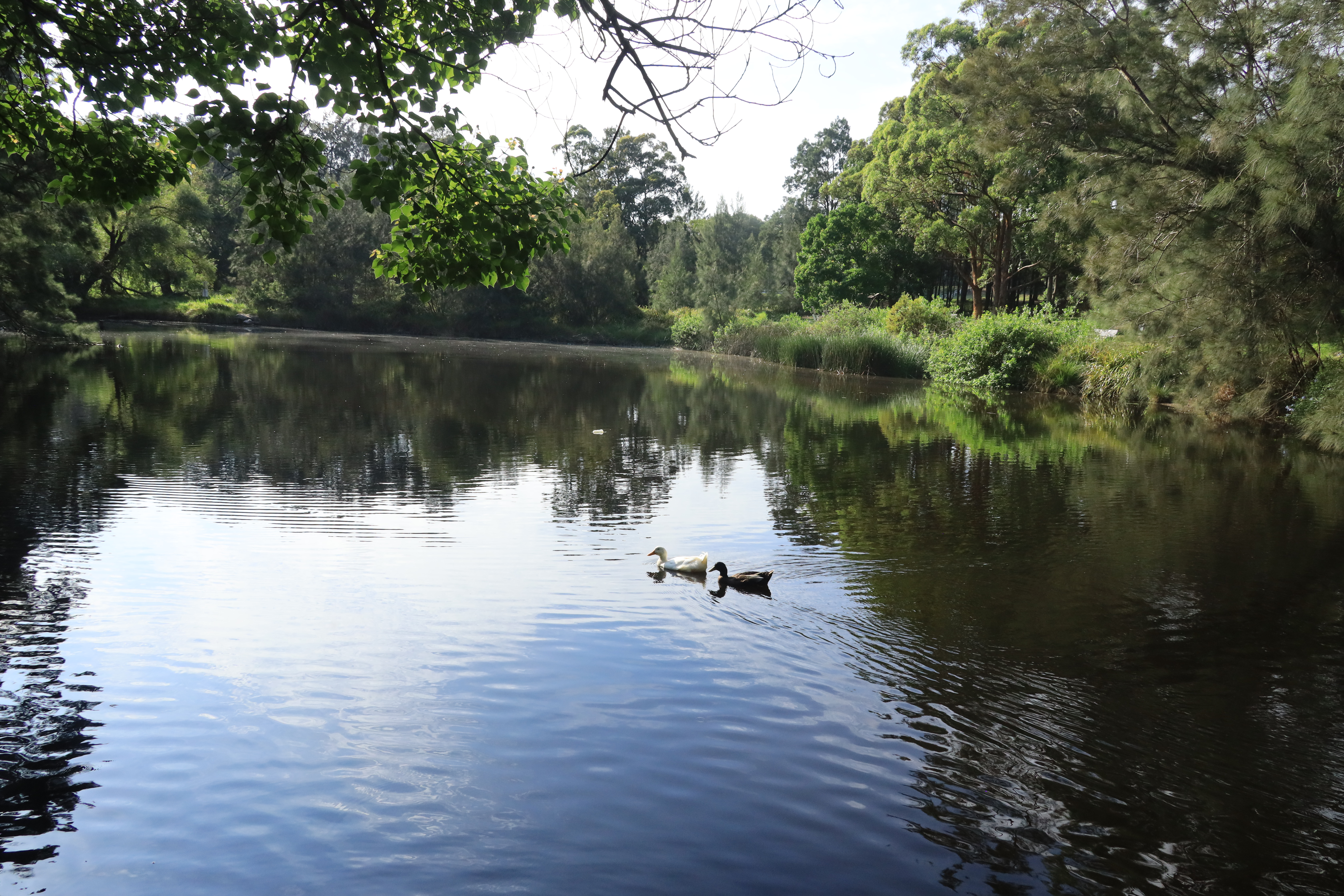
Wildlife on this Walk
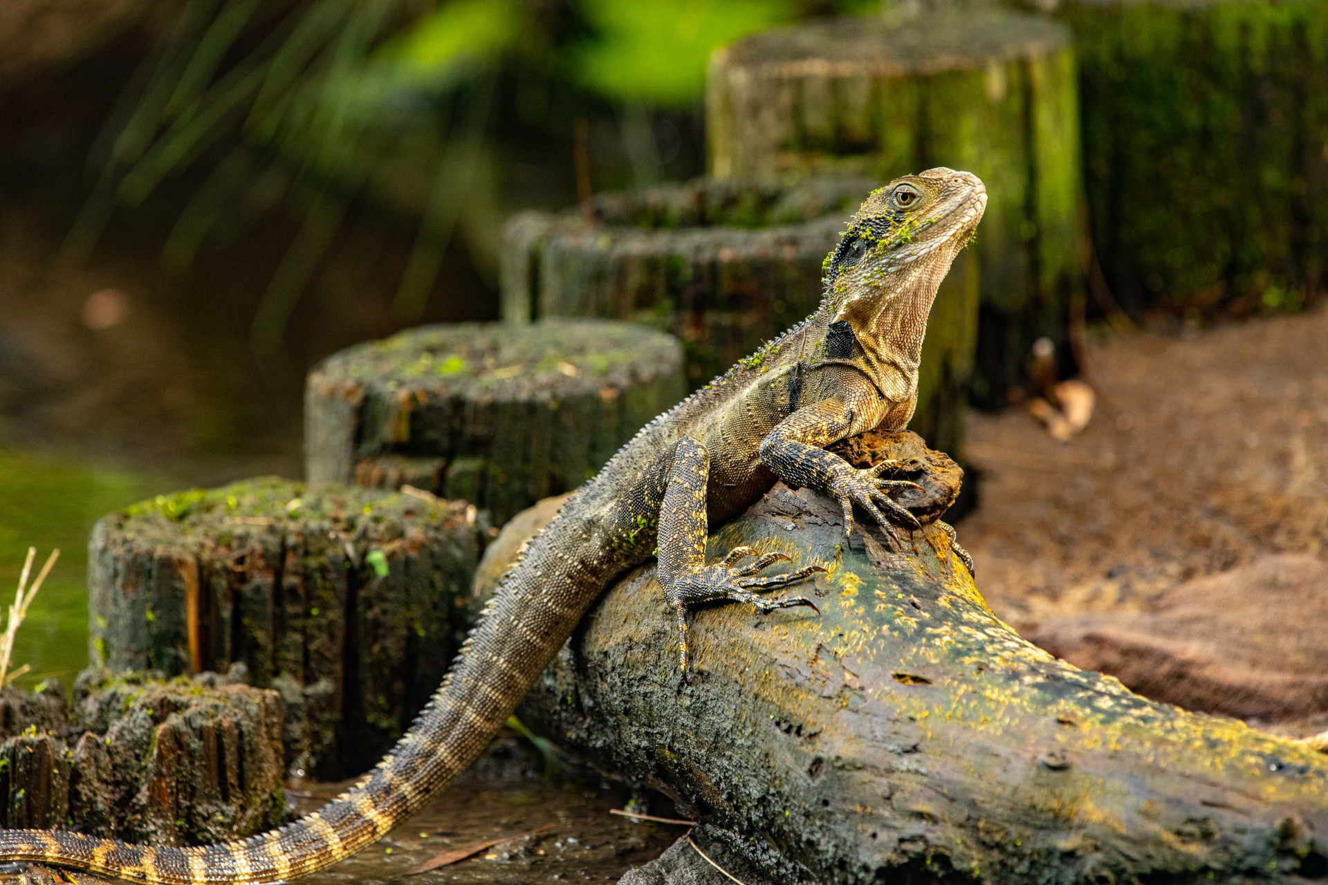
Intellagama lesueurii lesueurii
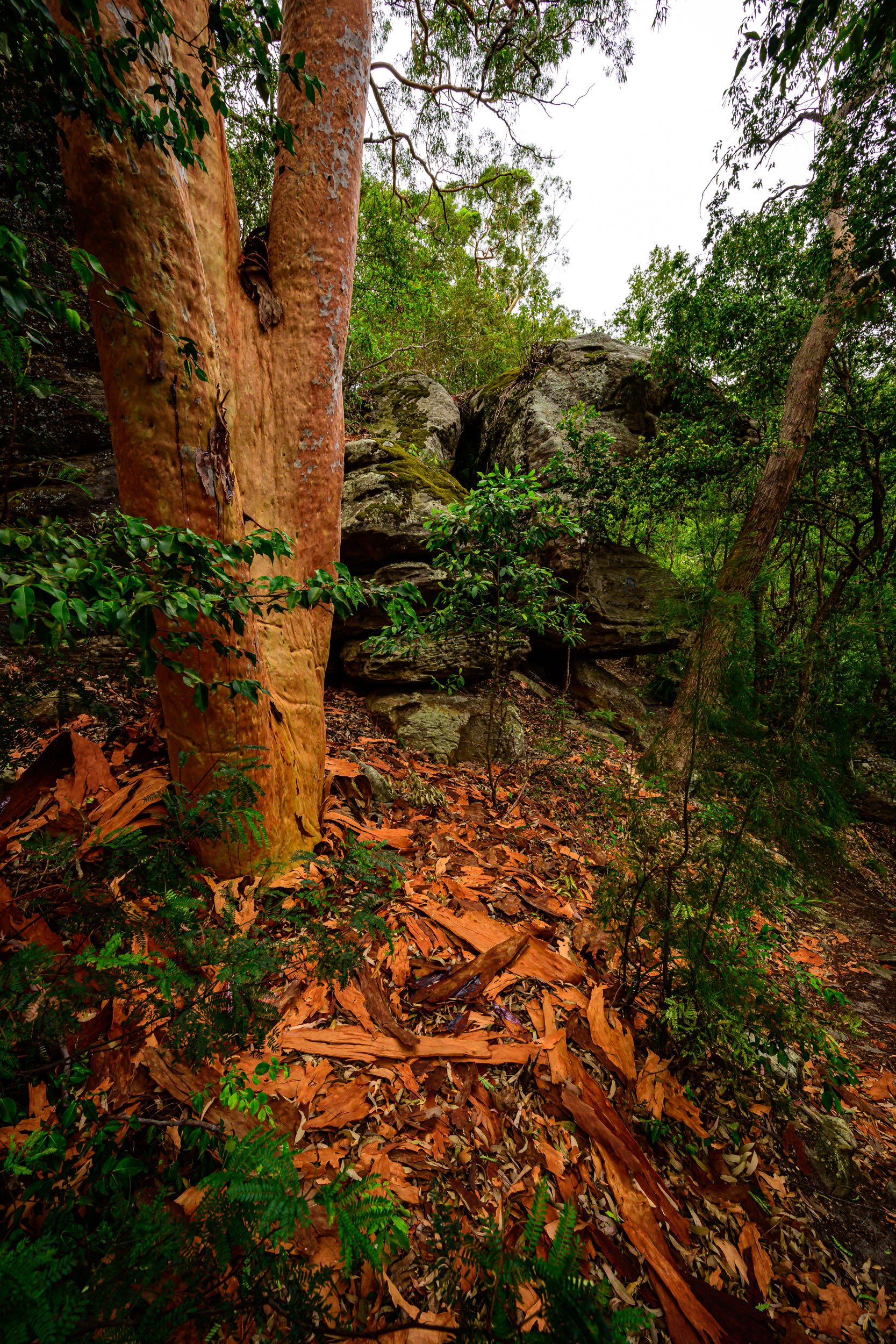
Angophora costata
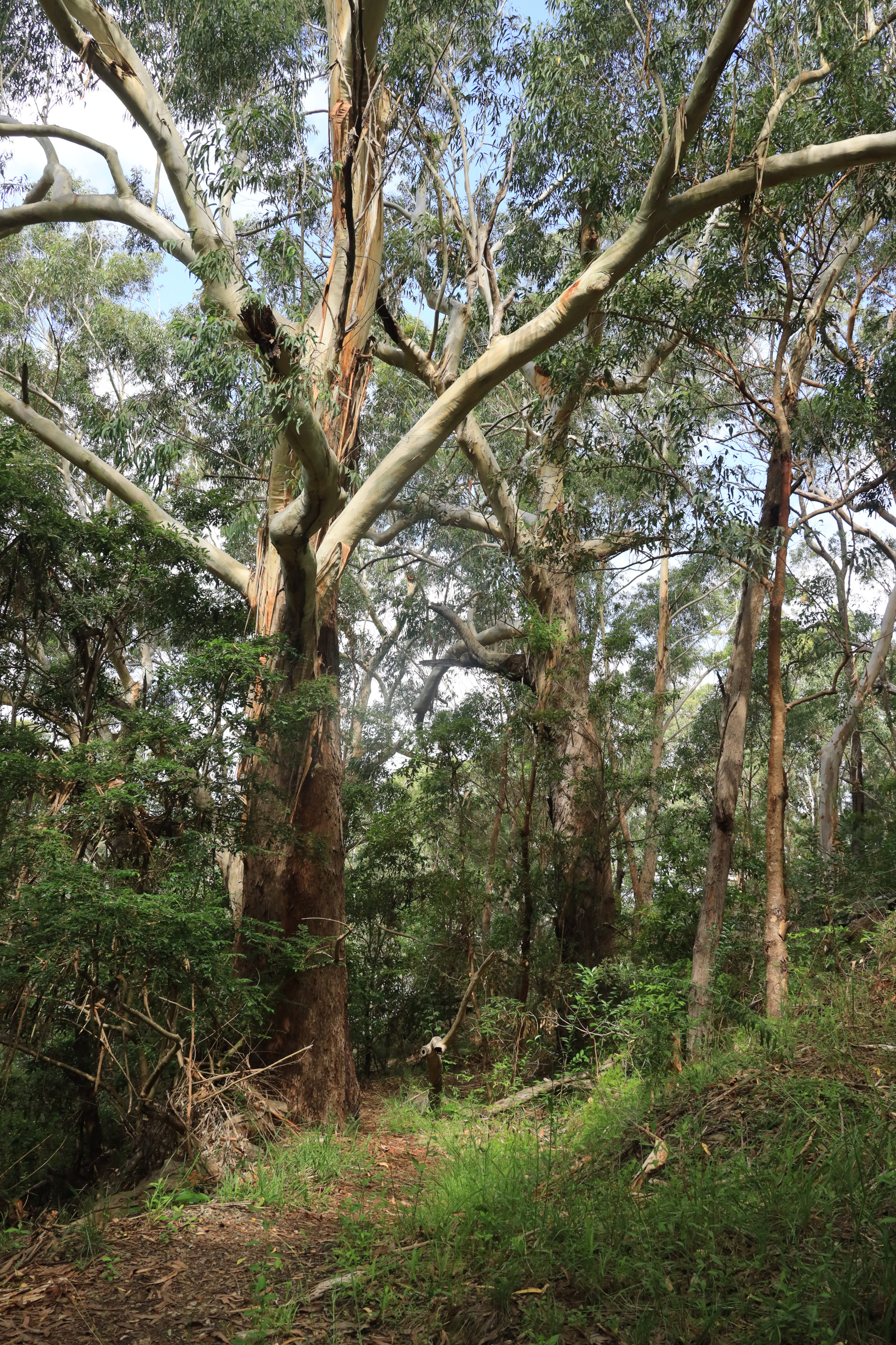
Eucalyptus pilularis
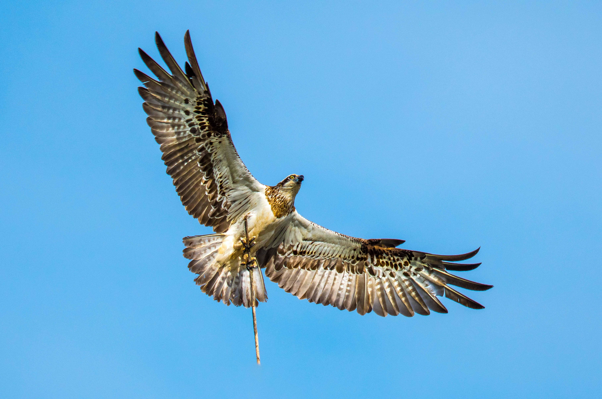
Pandion haliaetus
Anas castanea
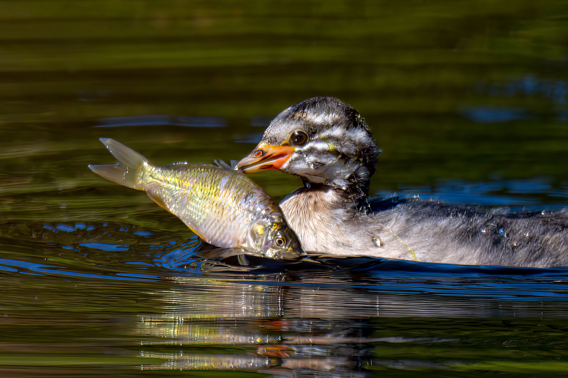
Tachybaptus novaehollandiae
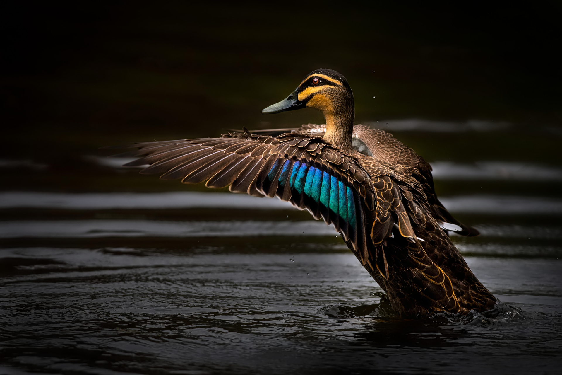
Anas superciliosa
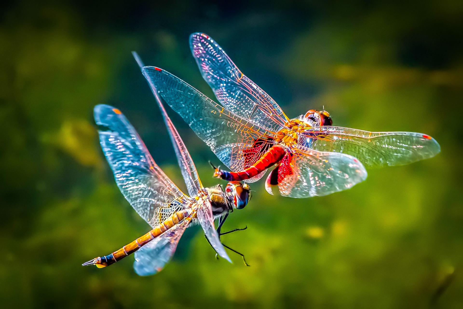
Tramea loewii
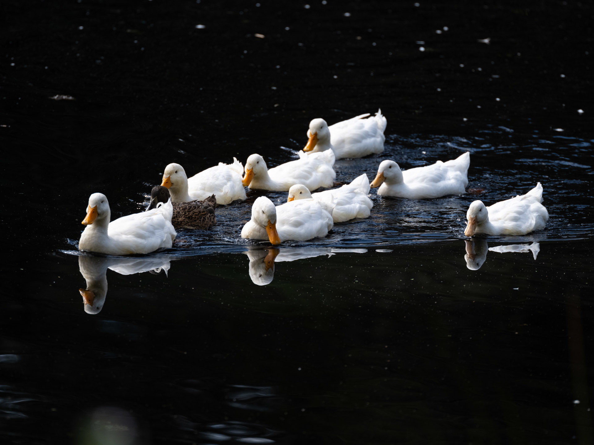
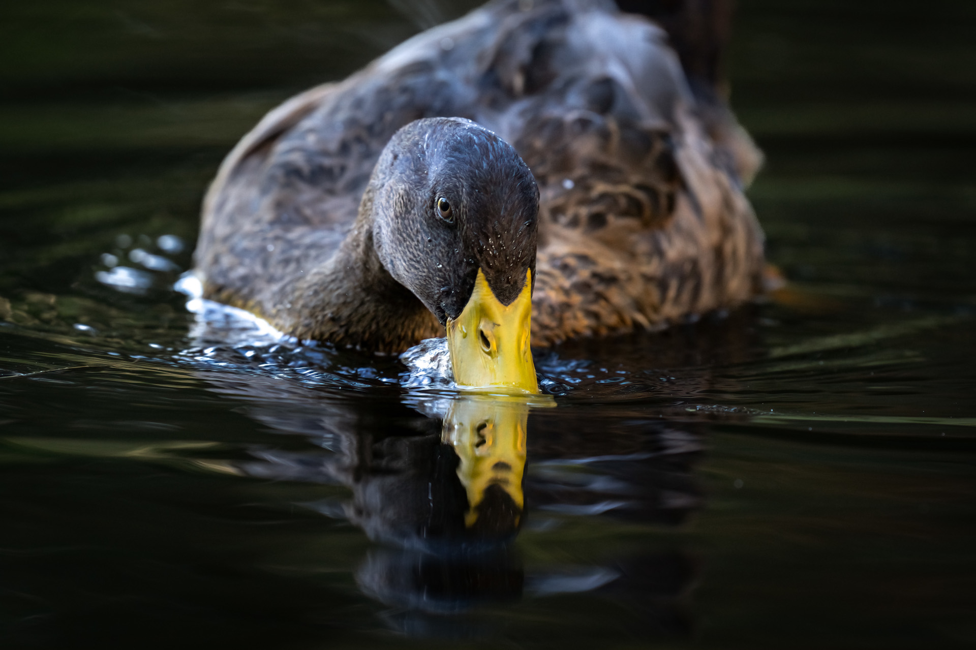
Anas platyrhynchos domesticus
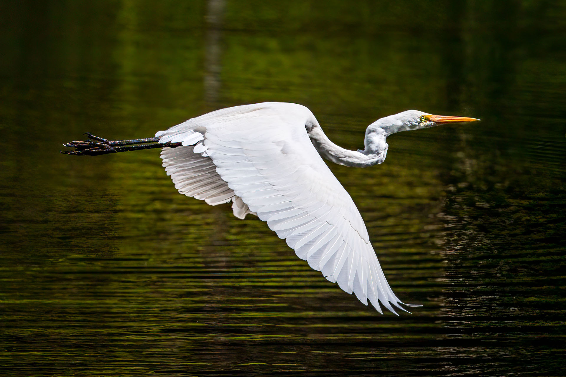
Ardea alba modesta

Trichoglossus Moluccanus
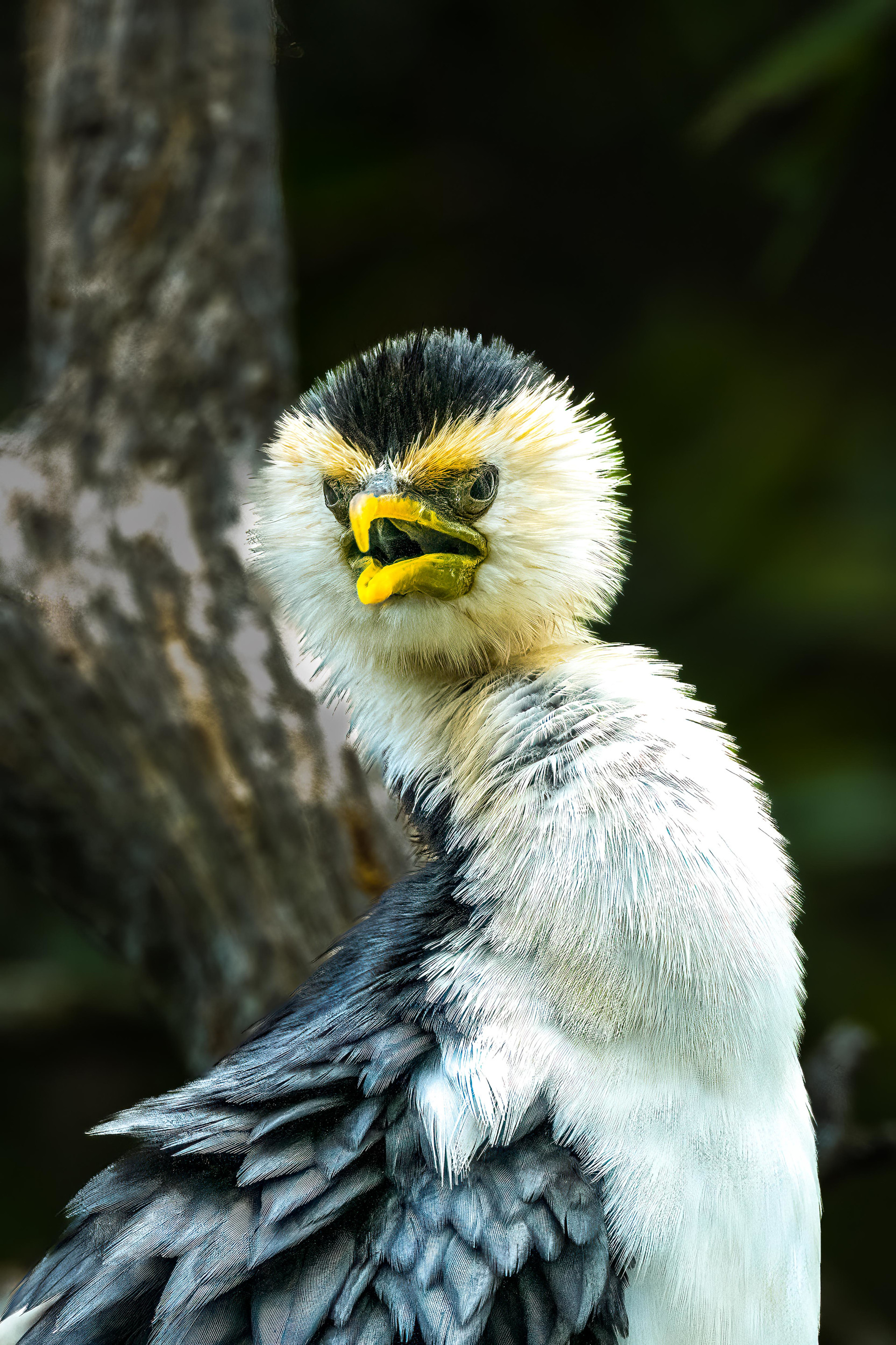
Microcarbo melanoleucos
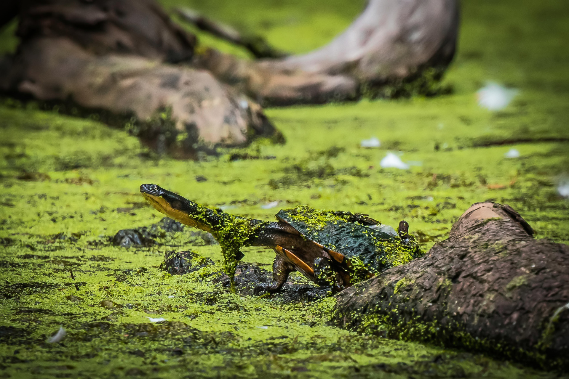
Chelodina longicollis
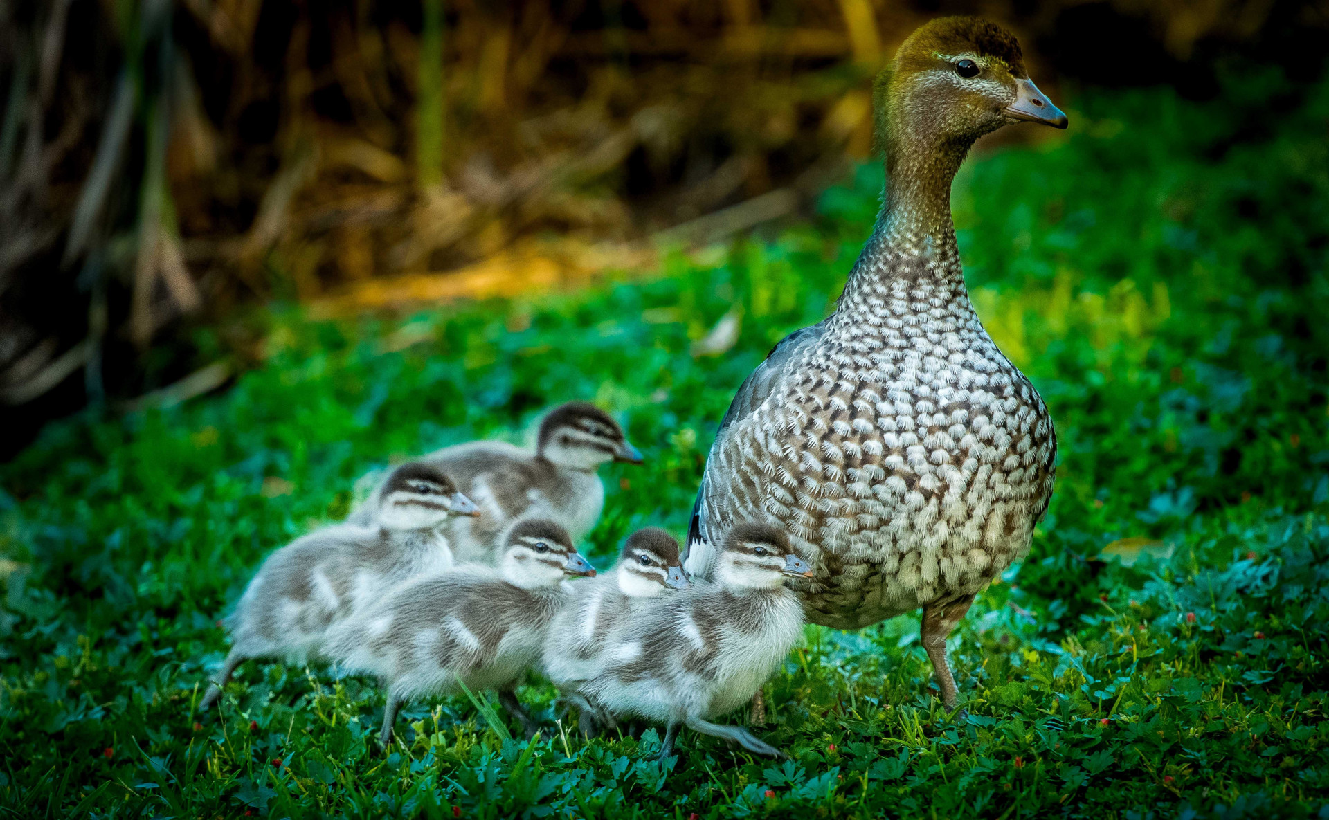
Chenonetta jubata
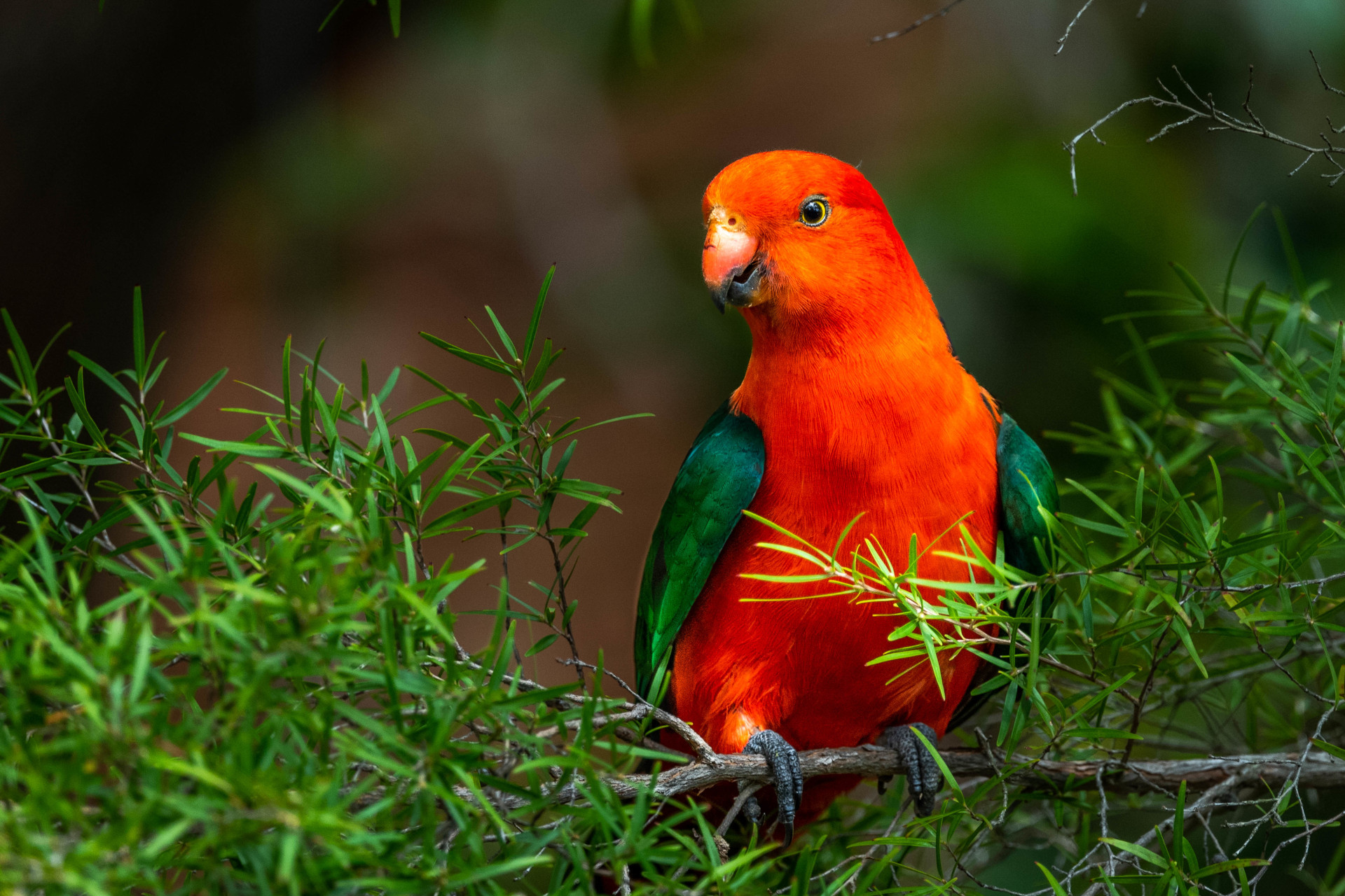
Alisterus scapularis
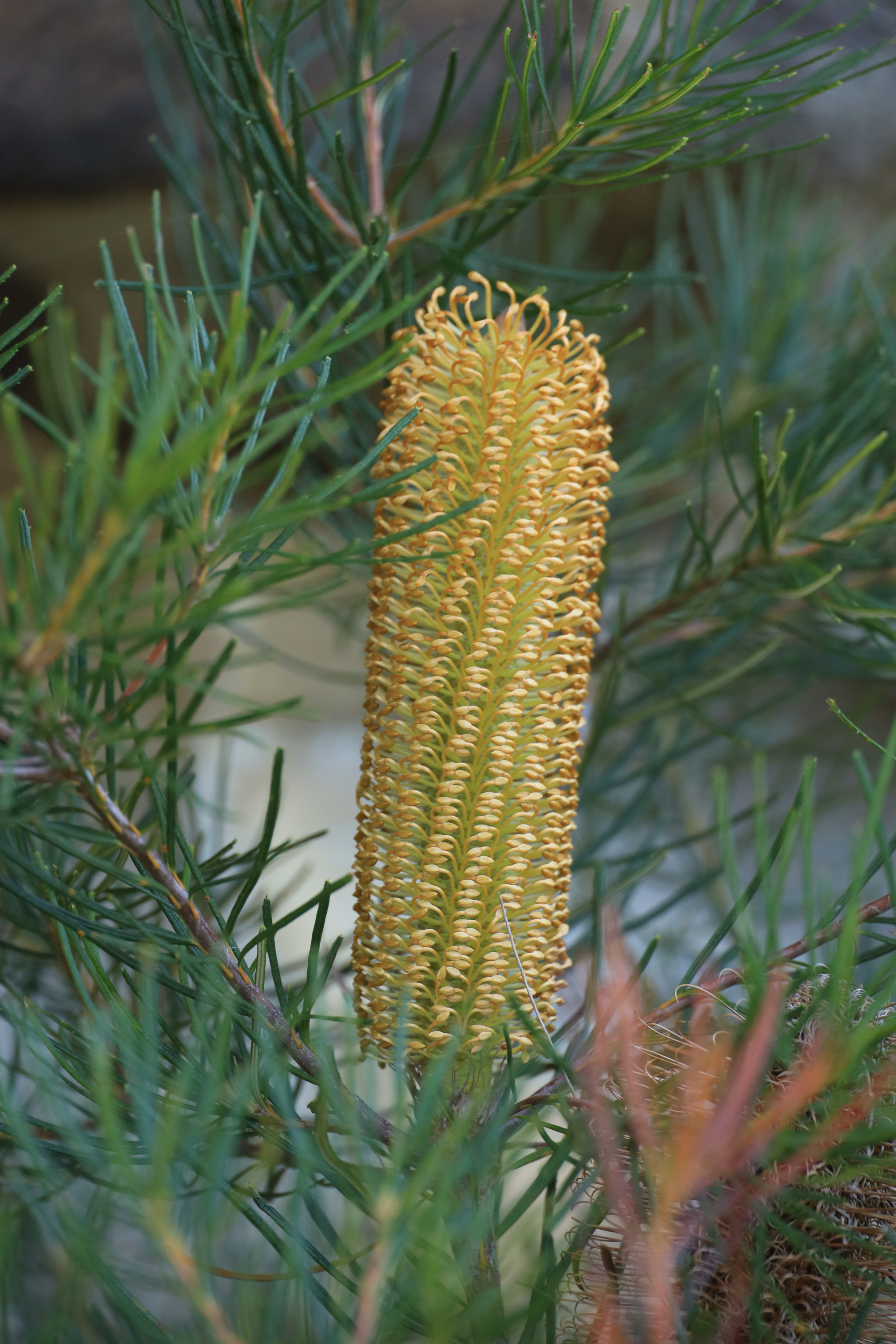
Banksia spinulosa
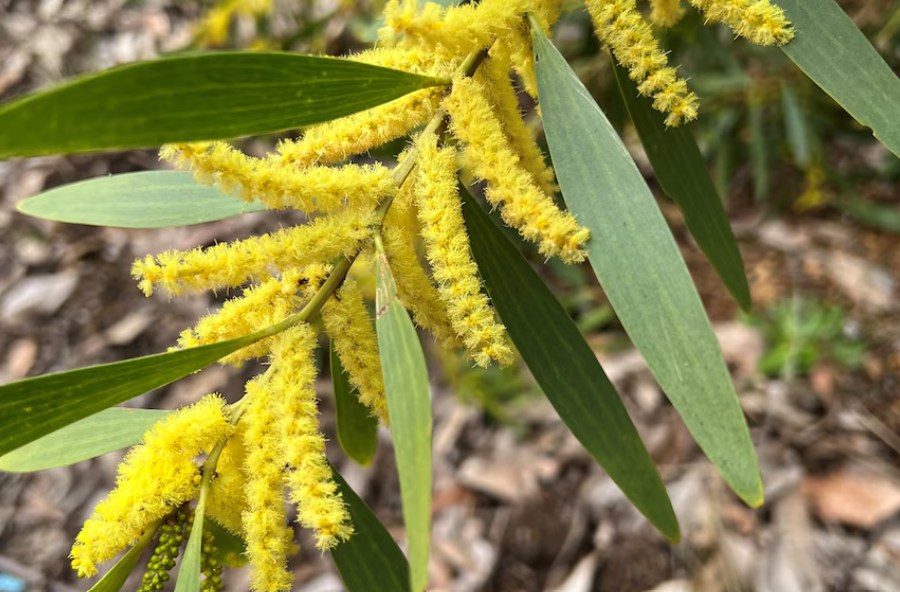
Acacia Longifolia
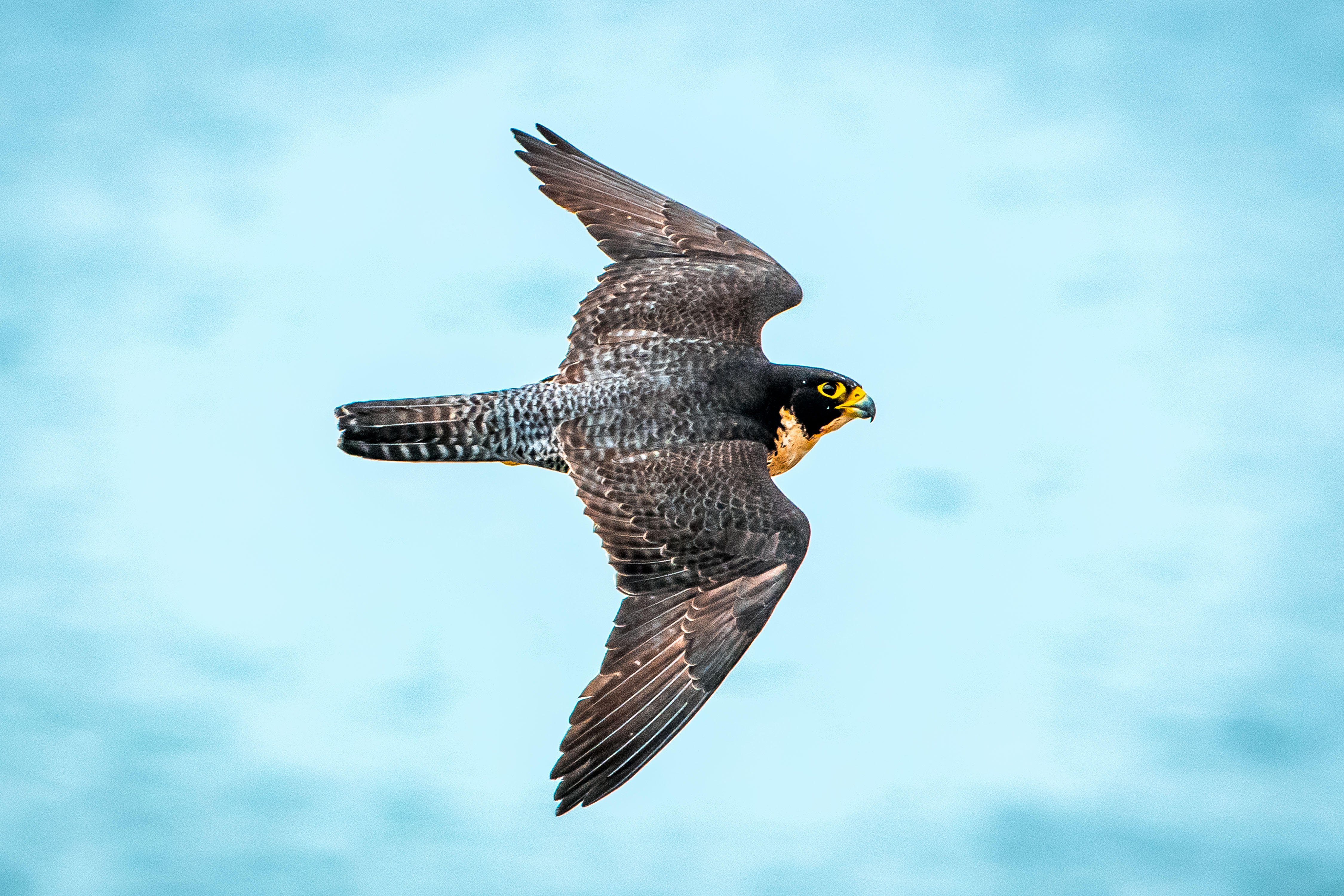
Falco peregrinus
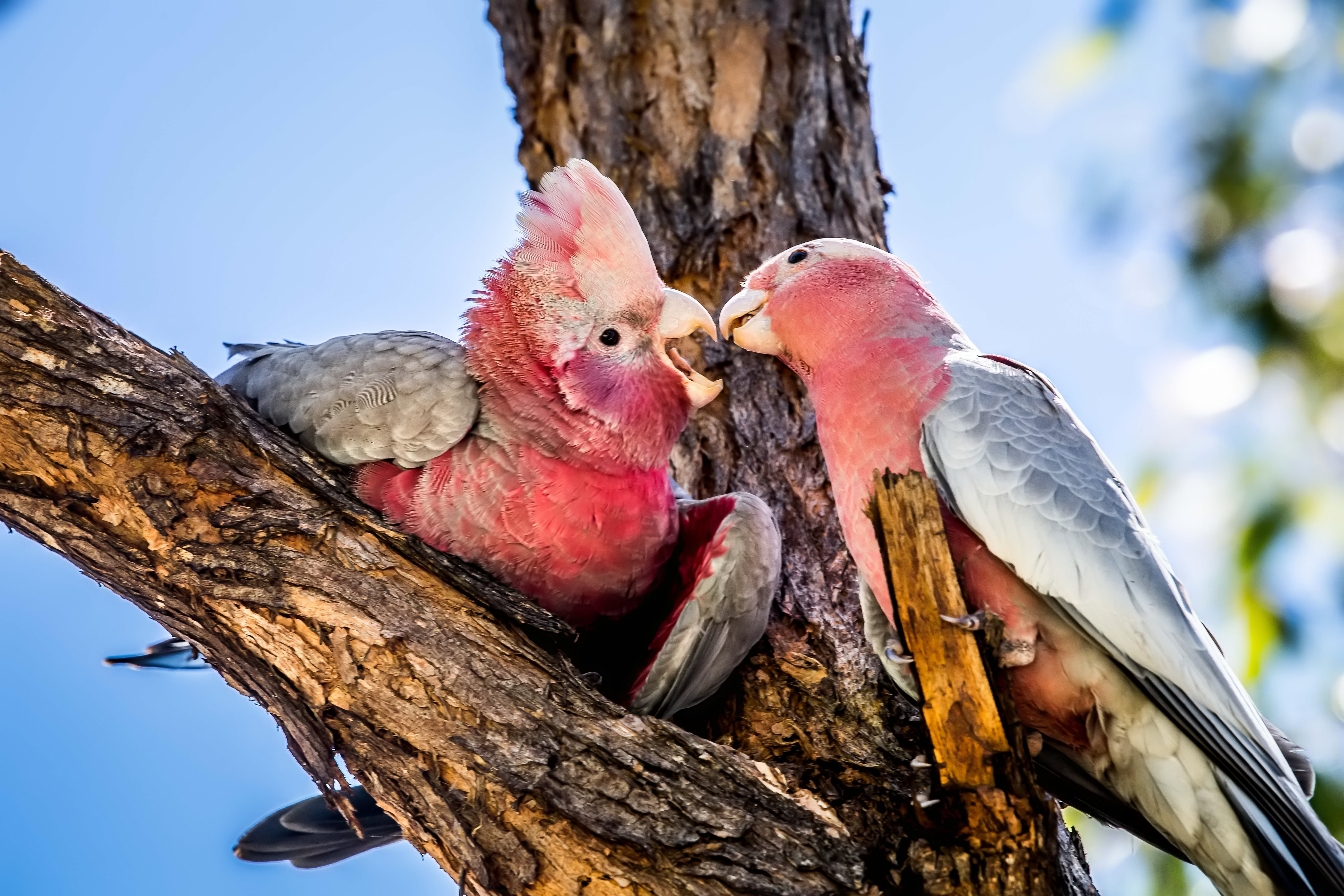
Eolophus roseicapilla
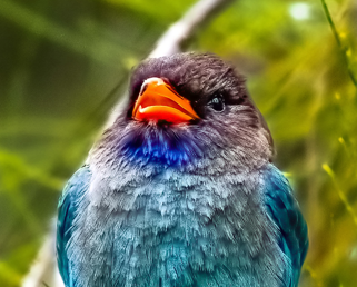
Eurystomus orientalis
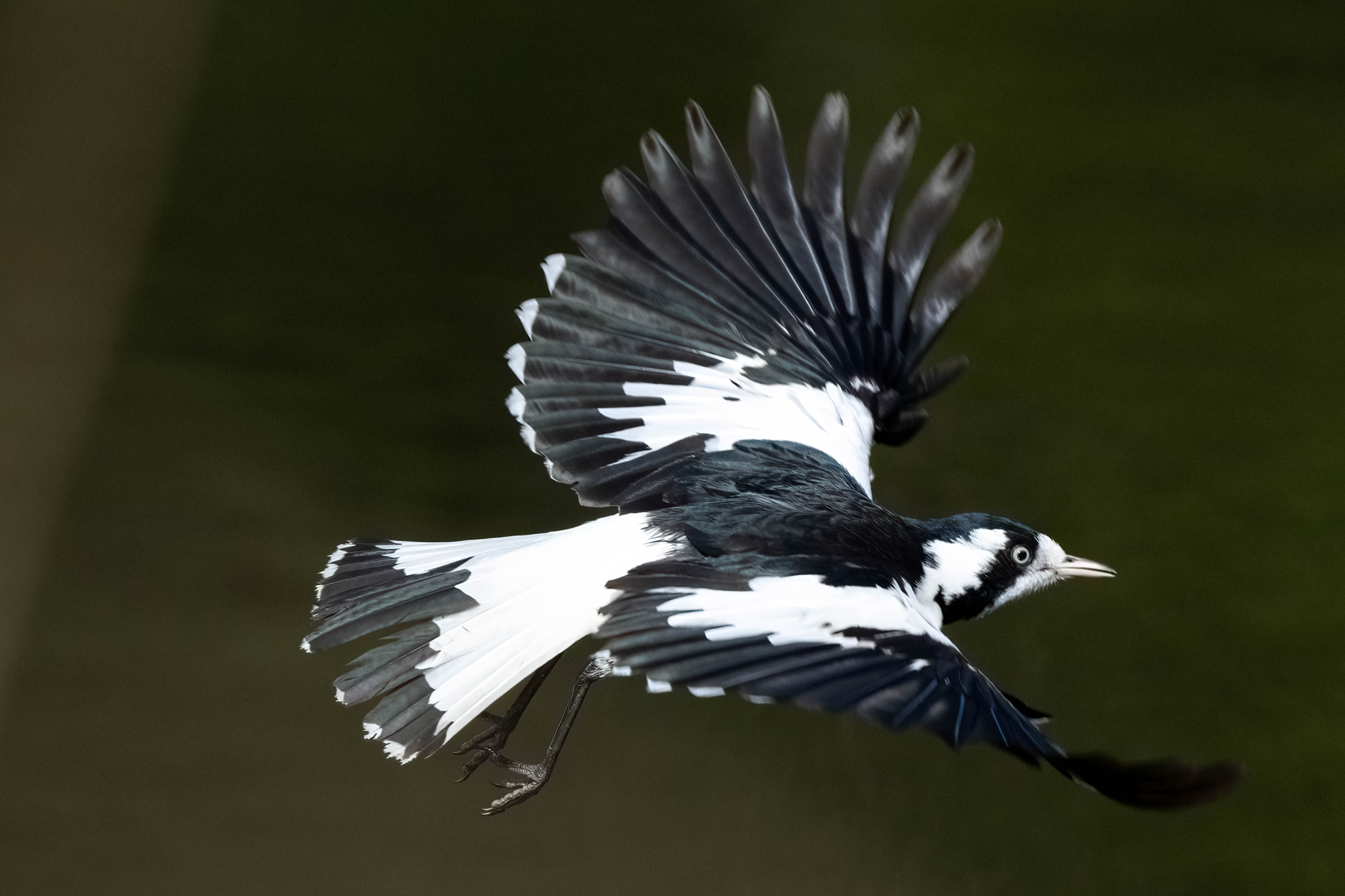
Grallina cyanoleuca
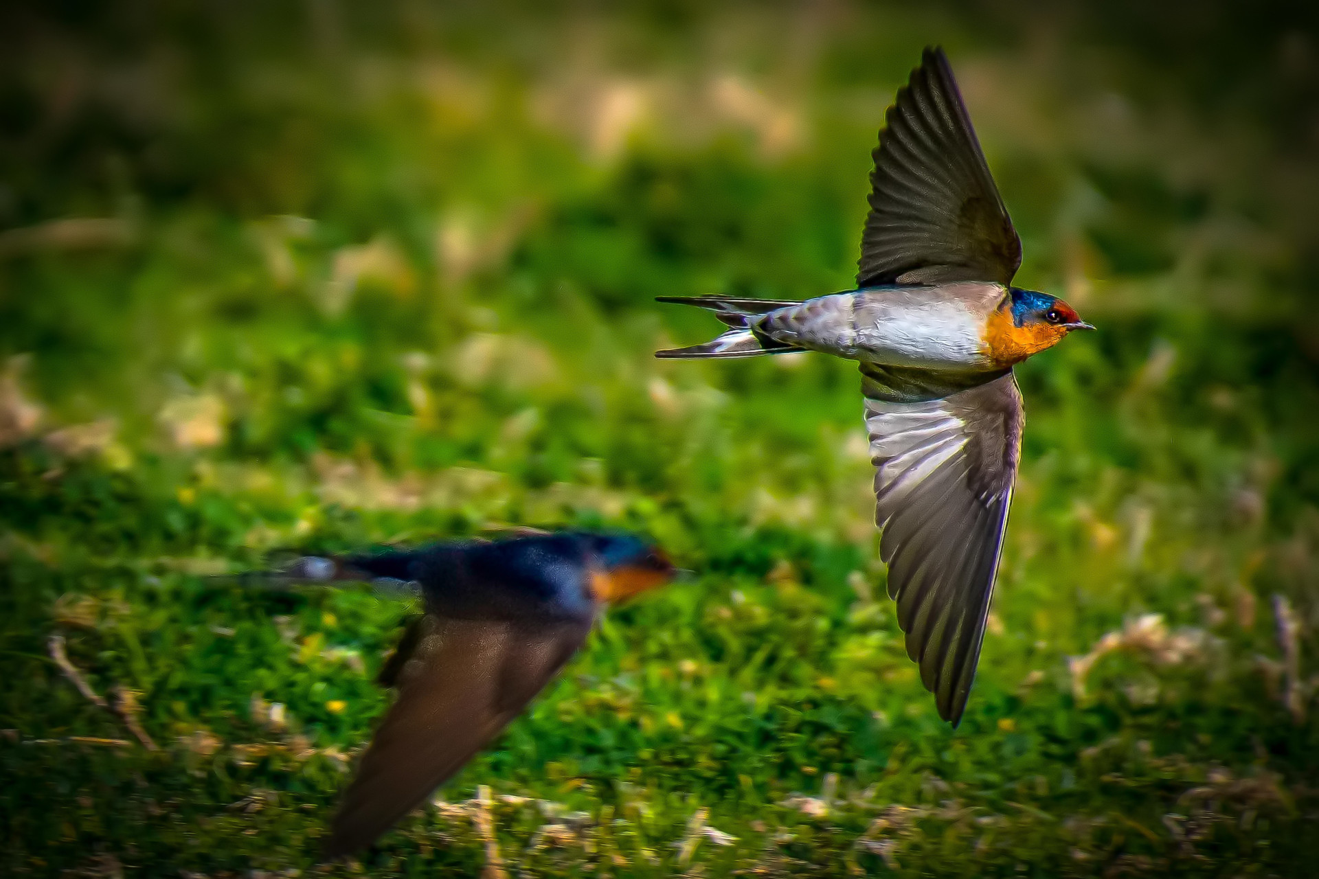
Hirundo neoxena
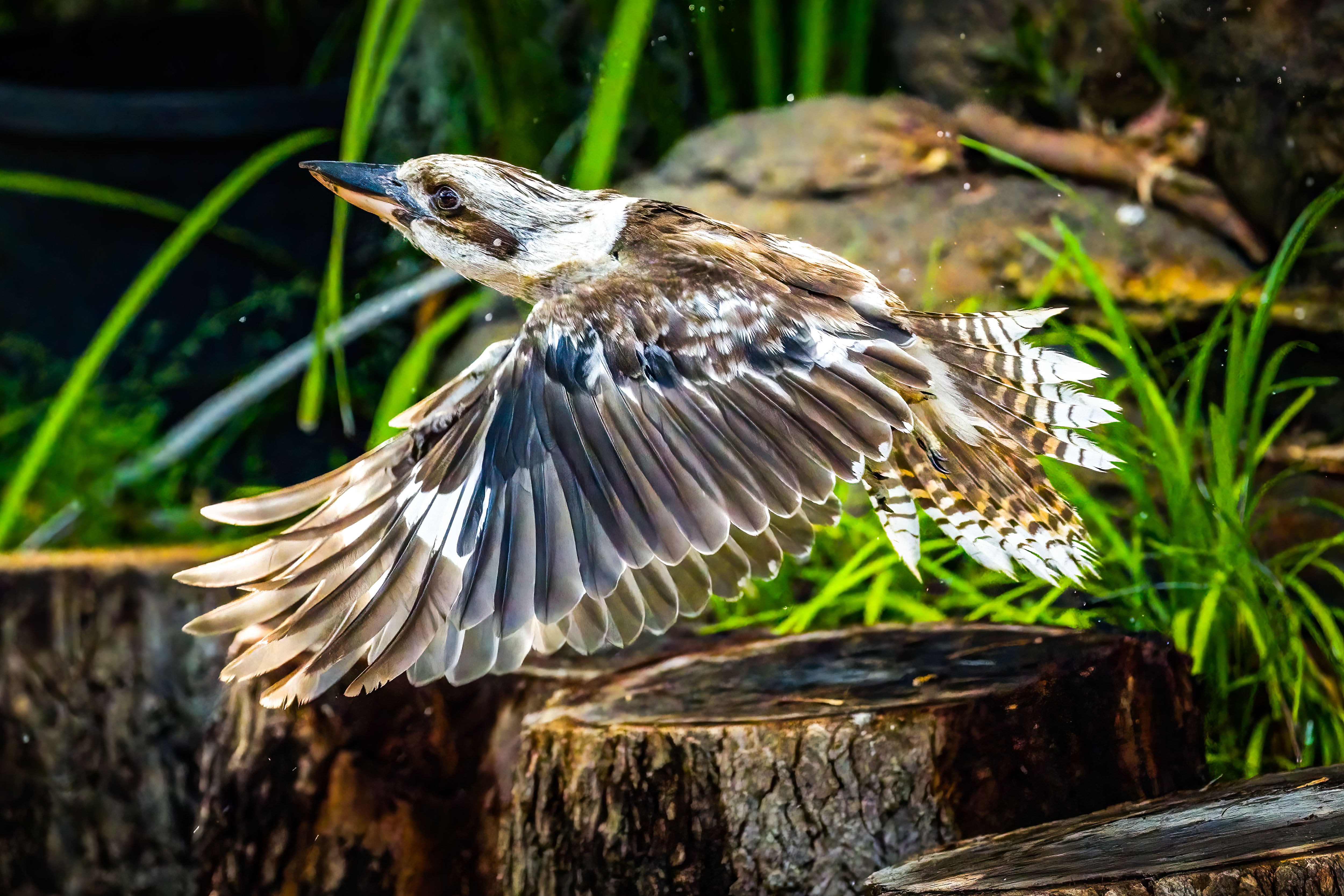
Dacelo novaeguineae
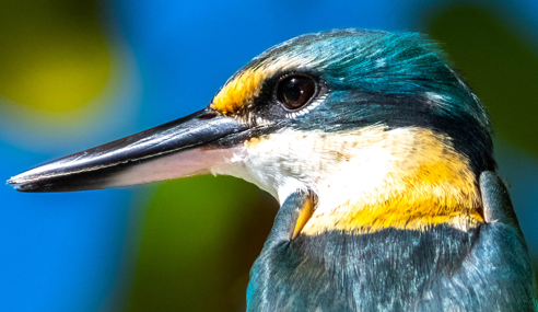
Todiramphus sanctus
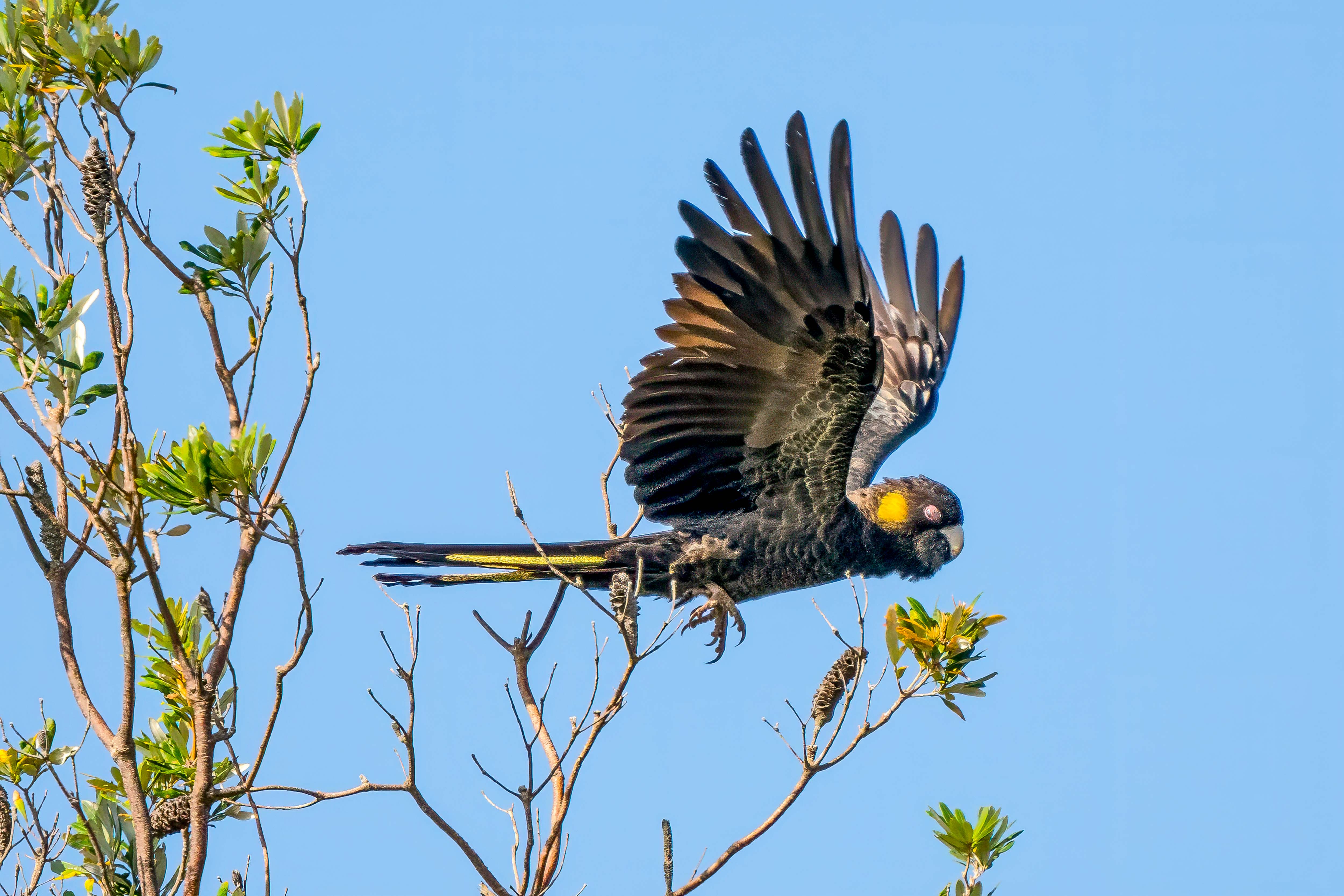
Zanda funerea

Platycercus eximius
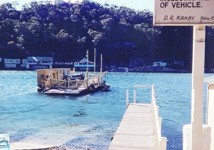
Images
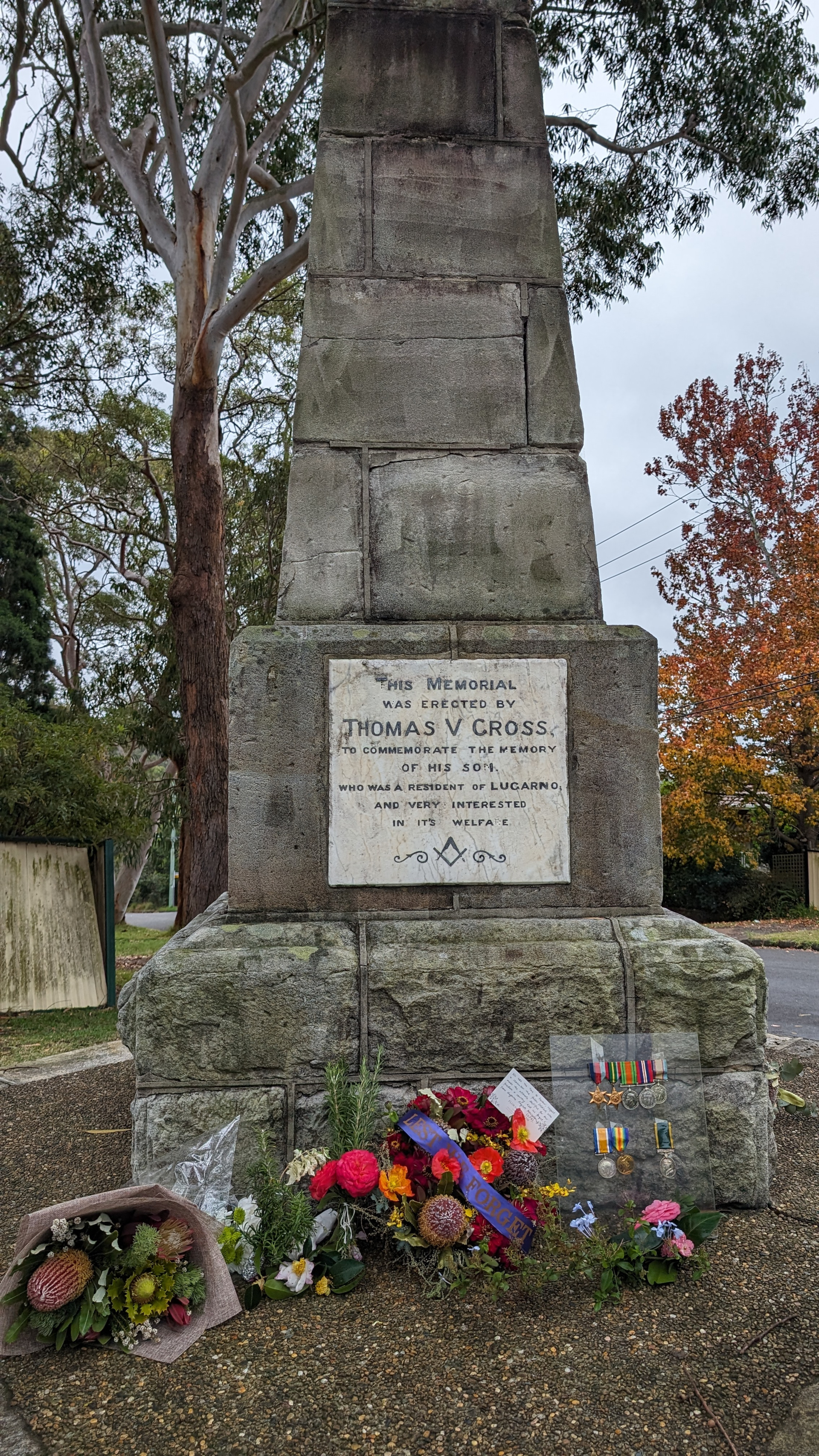
Points of Interest
Bushwalking tracks are natural environments with inherent risks, including rapid weather shifts, changing terrain, and limited mobile coverage.
Information provided by Lugarno Progress Association is a guide only.
Walkers are responsible for assessing their own fitness, ensuring proper equipment, and checking live local alerts (such as the Hazards Near Me app) before setting out.
Always let someone know of your planned route.
Lugarno Progress Association accepts no liability for any loss, injury, or damage incurred by relying on this information.