Summary
A short easy bushwalk with hills initially that then leads towards flat parkland.
About This Walk
This bushwalk starts at Henley Pleasure Grounds, which was previously at the bottom of Murdock Reserve. More information about Henley Pleasure Grounds is available at this YouTube video by local historian Ron Denholm: https://www.youtube.com/watch?v=6tSp-qZliZA
Then walk up Murdock Crescent and turn right into Blackbutt Avenue. You will reach The Blackbutt 9. If you would like to read more about the early owners of these blocks, go to the following YouTube video created by local historian Ron Denholm. https://www.youtube.com/watch?v=P0hXYkfBfVM
Continue to the end of Blackbutt Avenue and this takes you to the entrance to the Rainforest track to Evatt Park.
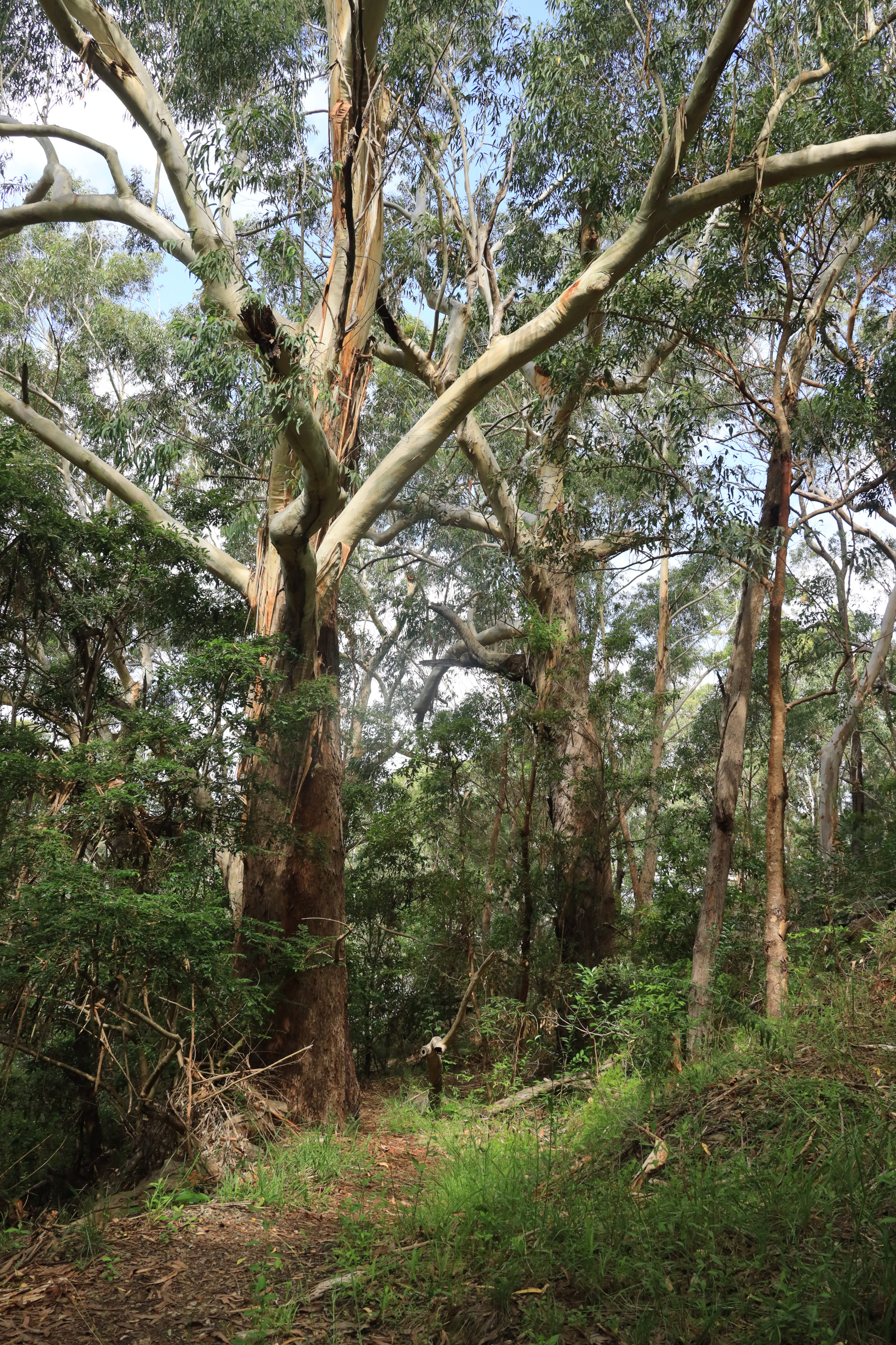
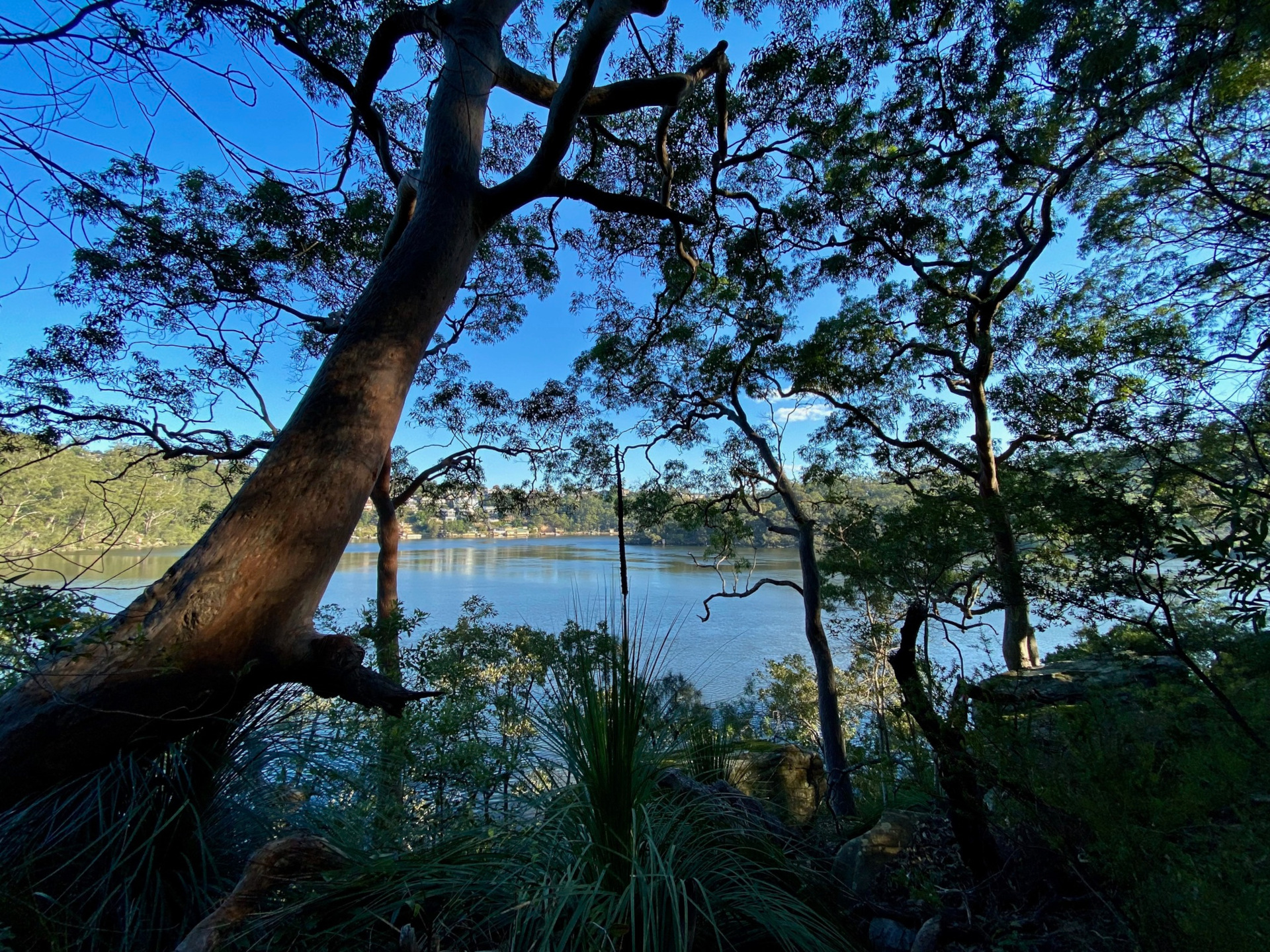
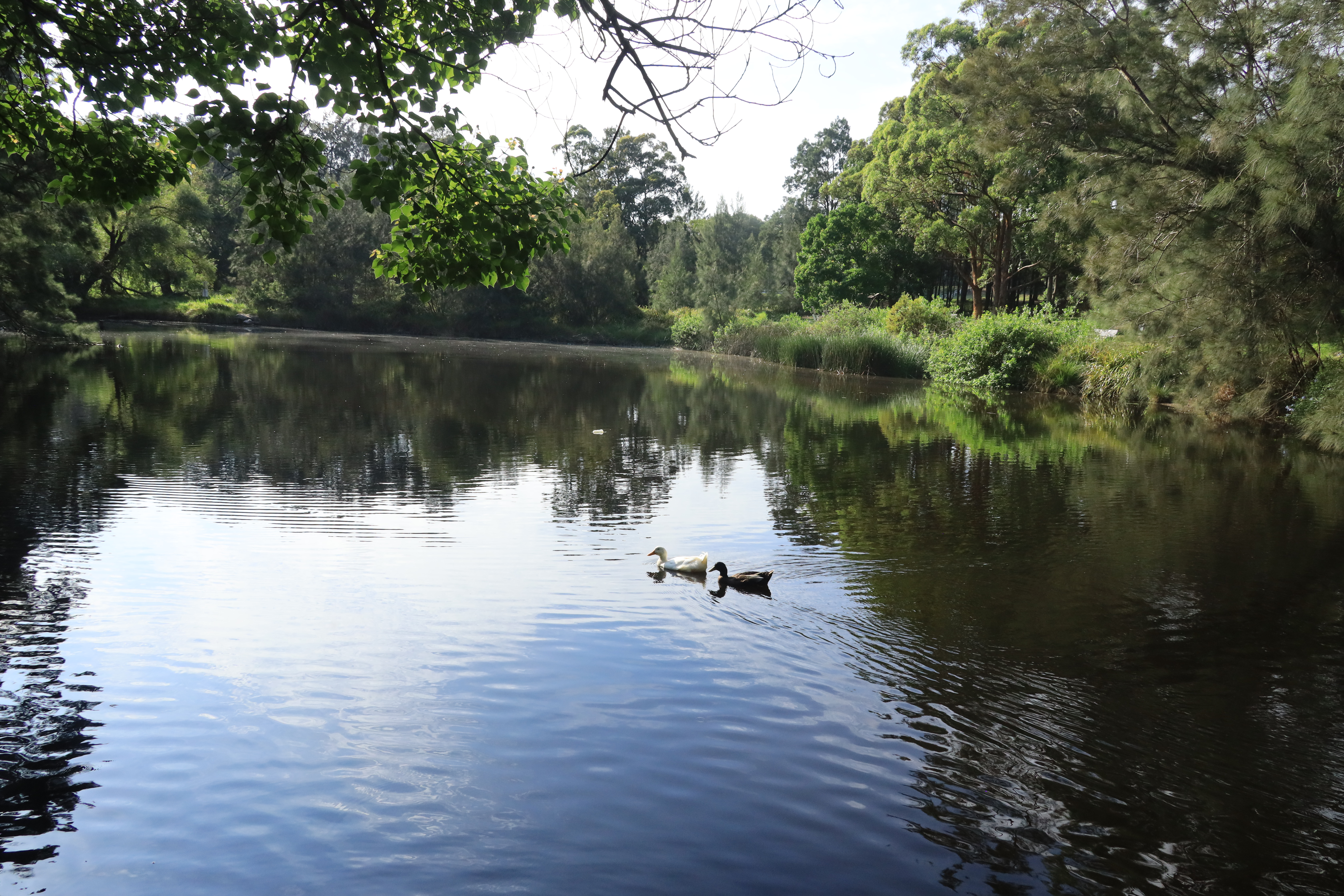
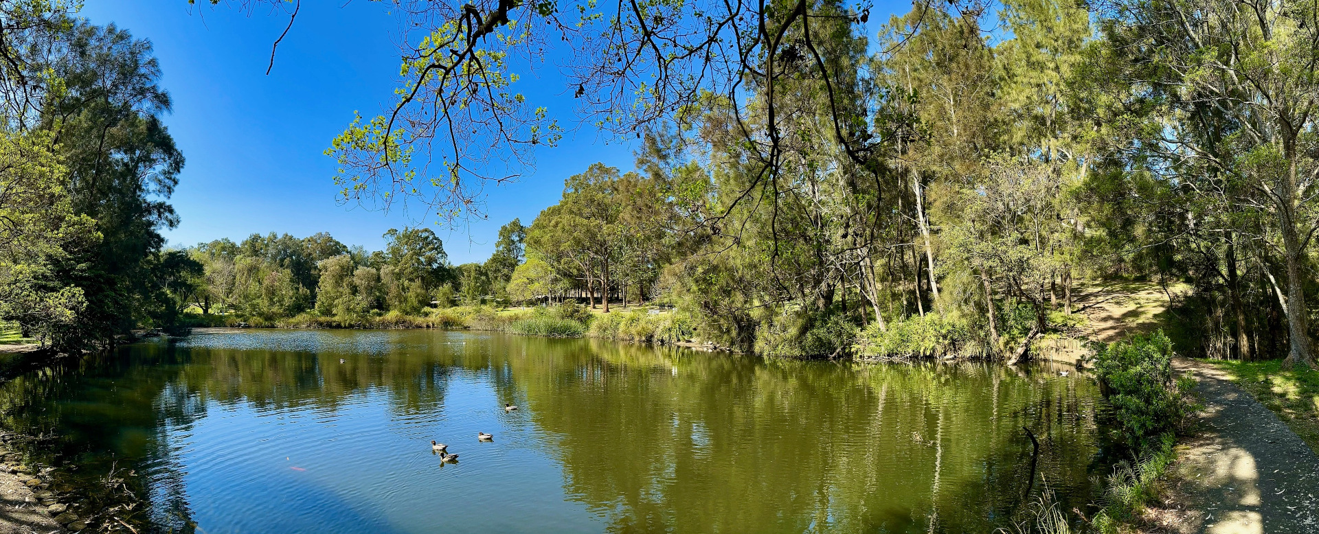
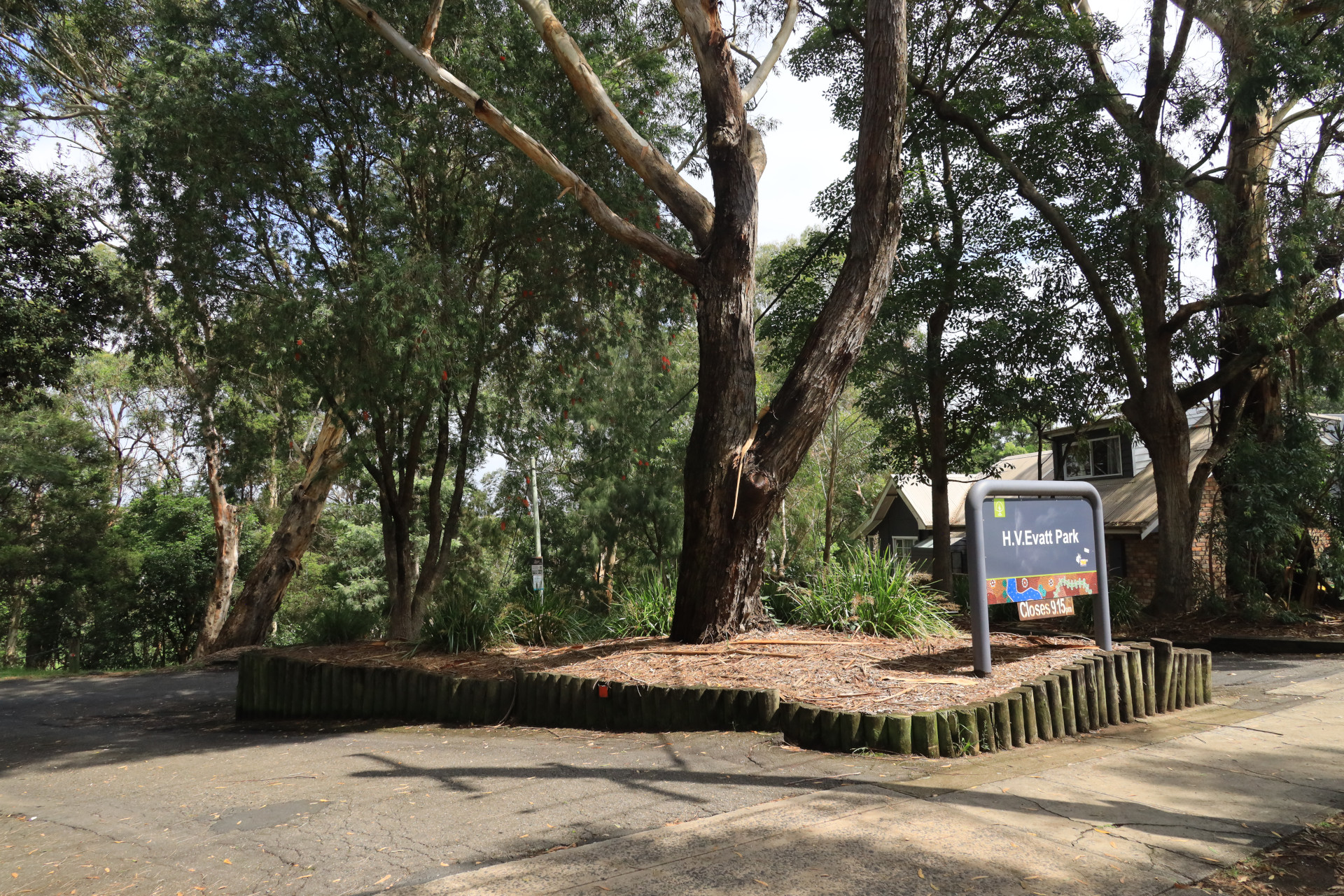
This Rainforest Track hugs the Georges River foreshore, staying close to the waterline and then turning inland to the rainforest and H.V. Memorial Evatt park. At the peninsula edge you have views of Alfords Point Road Bridge plus you are close to the old Quarry site in Lugarno.
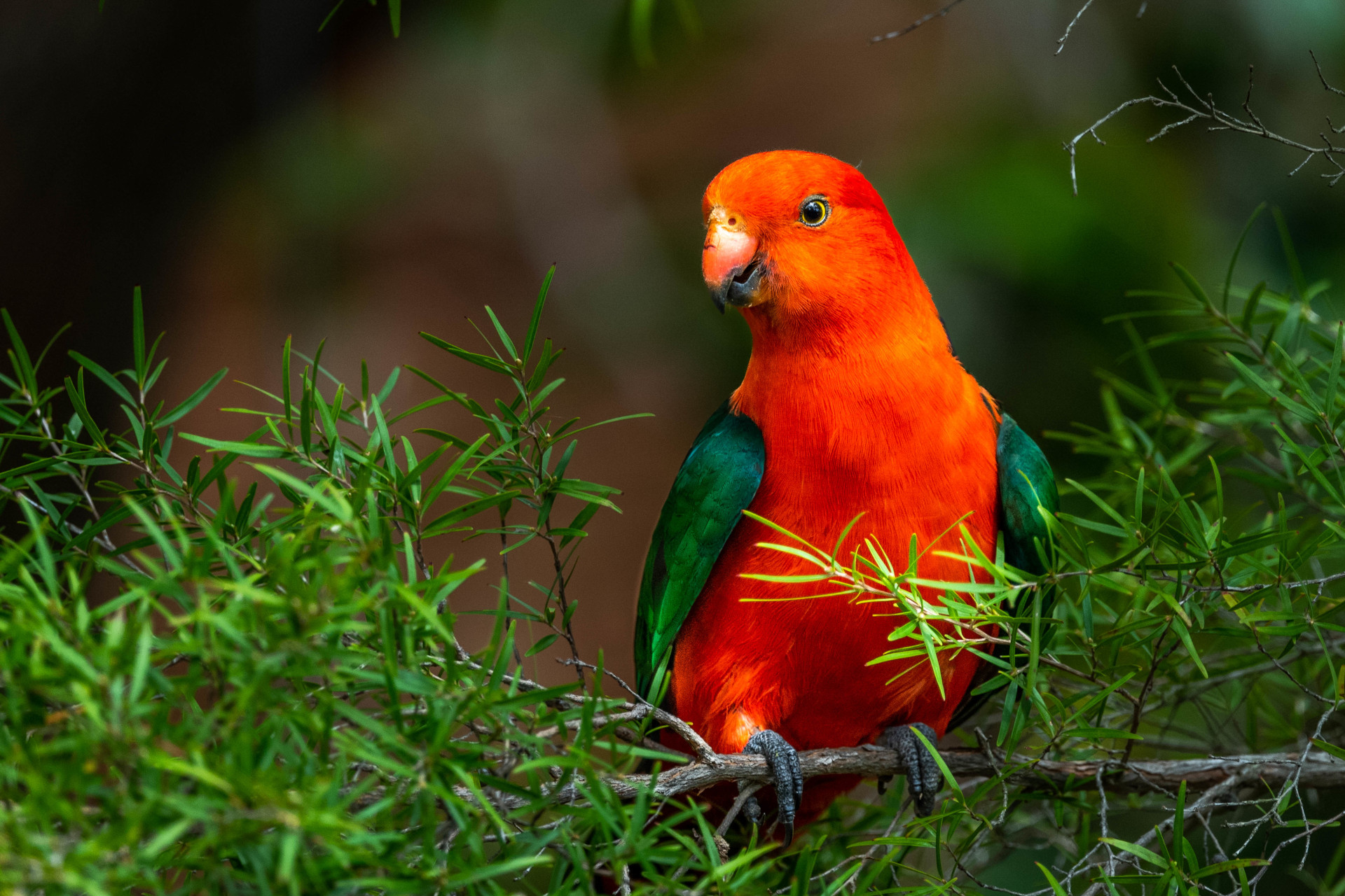
As you walk along the Rainforest track, look up for the birds including sea eagles, the powerful owl camouflaged in the trees, and many types of parrots. The bush is a haven for reptiles and occasional echidnas and other wildlife. Native bushflowers are magnificent at many times of the year but spring can be particularly colourful.
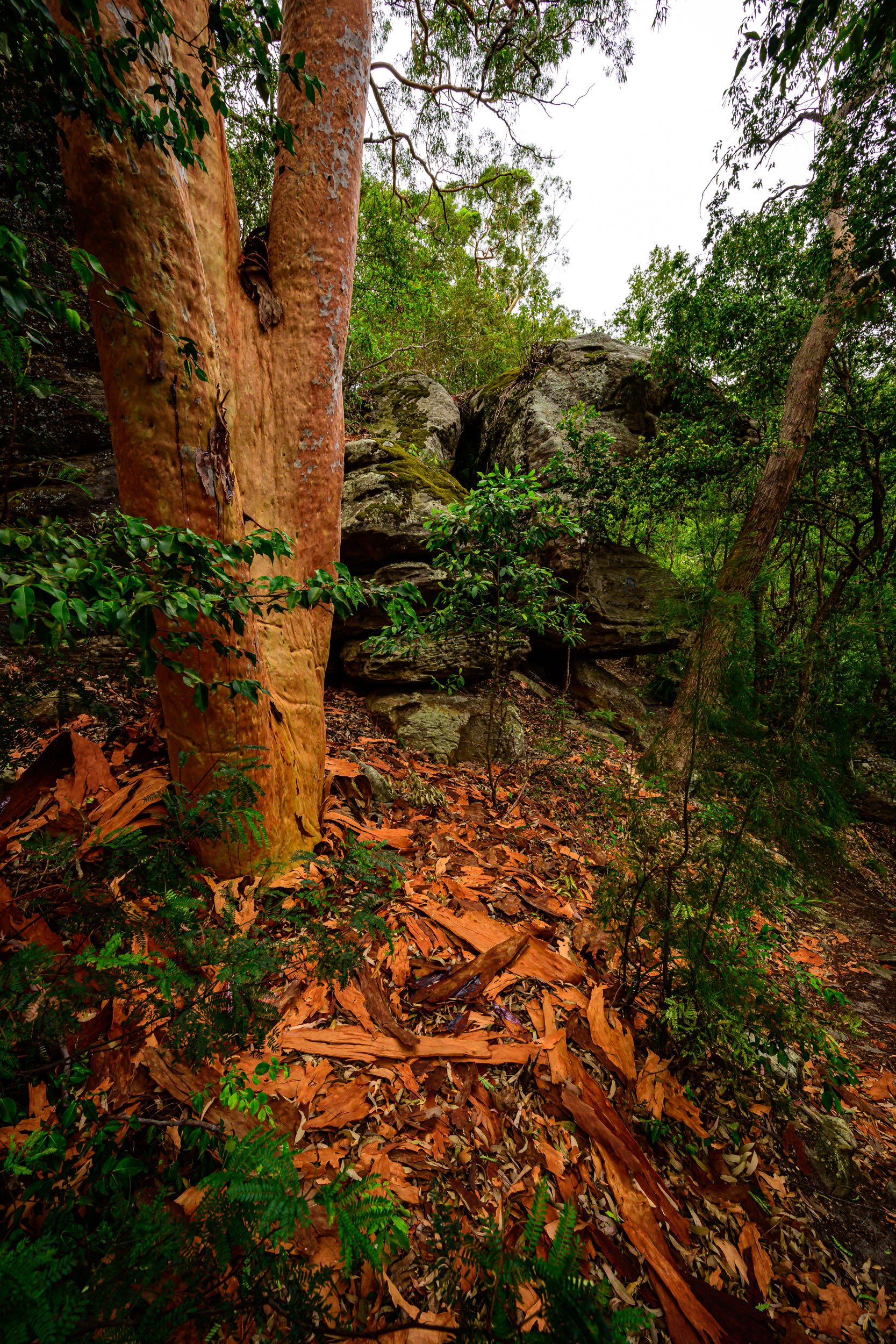
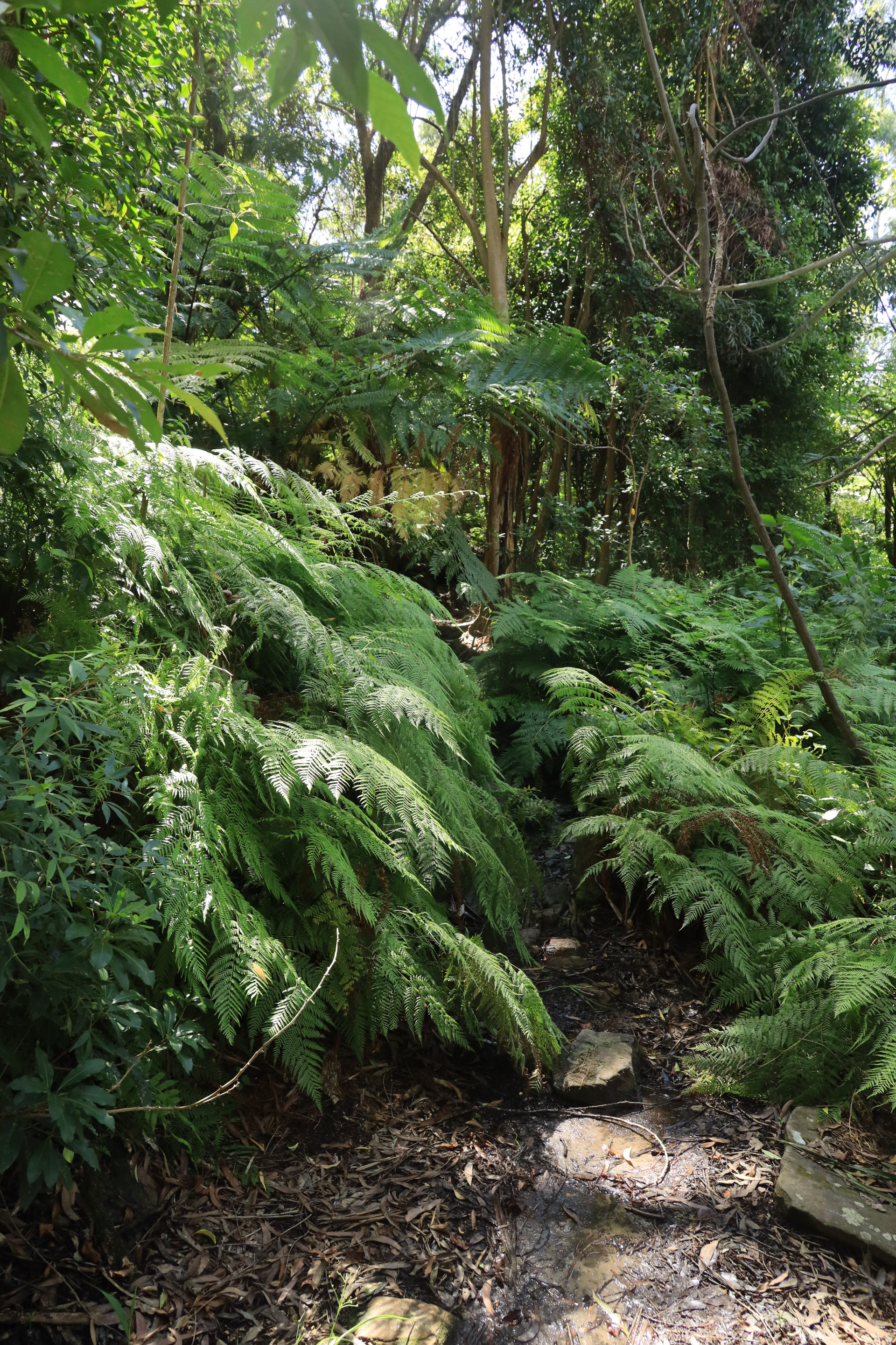
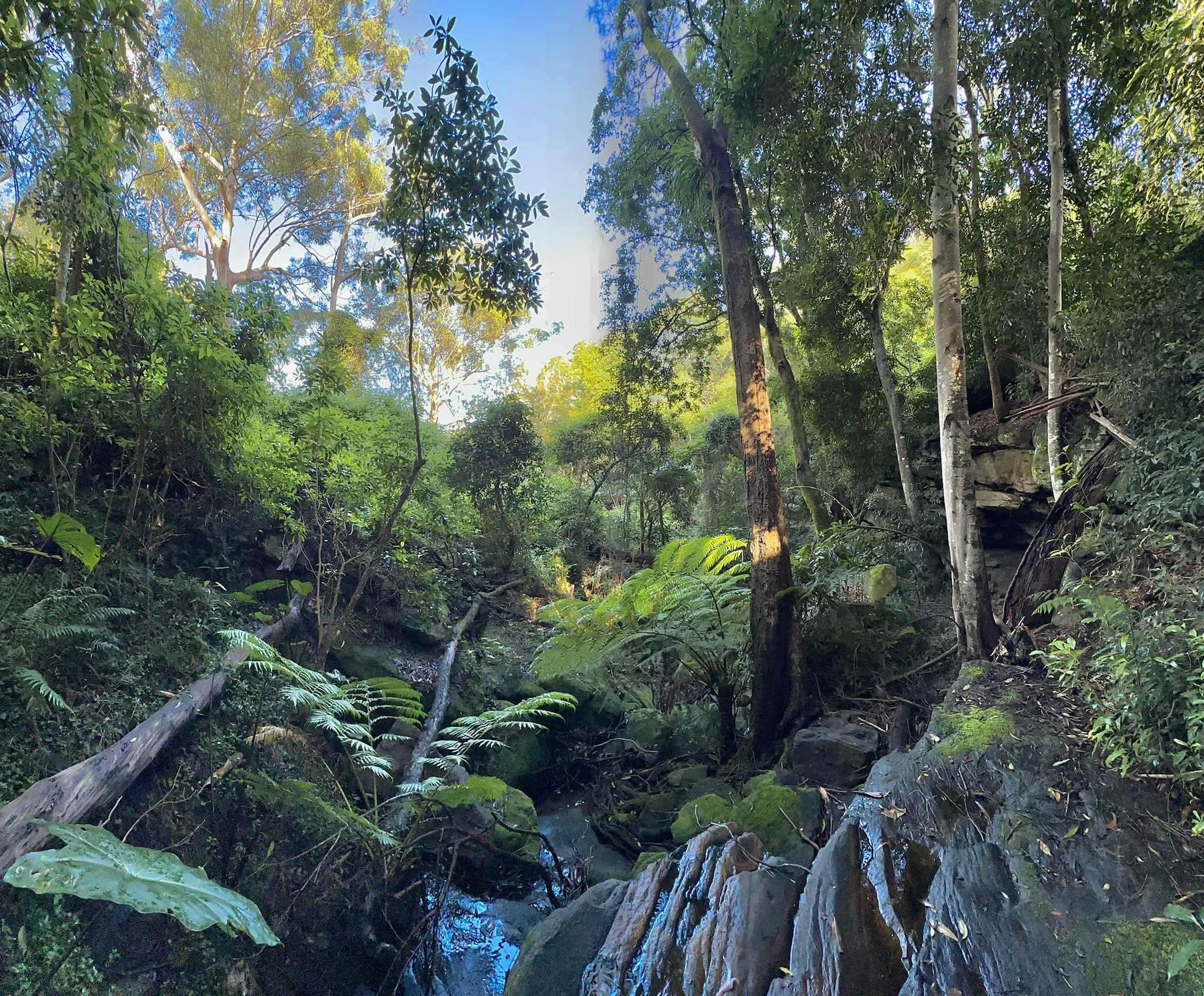
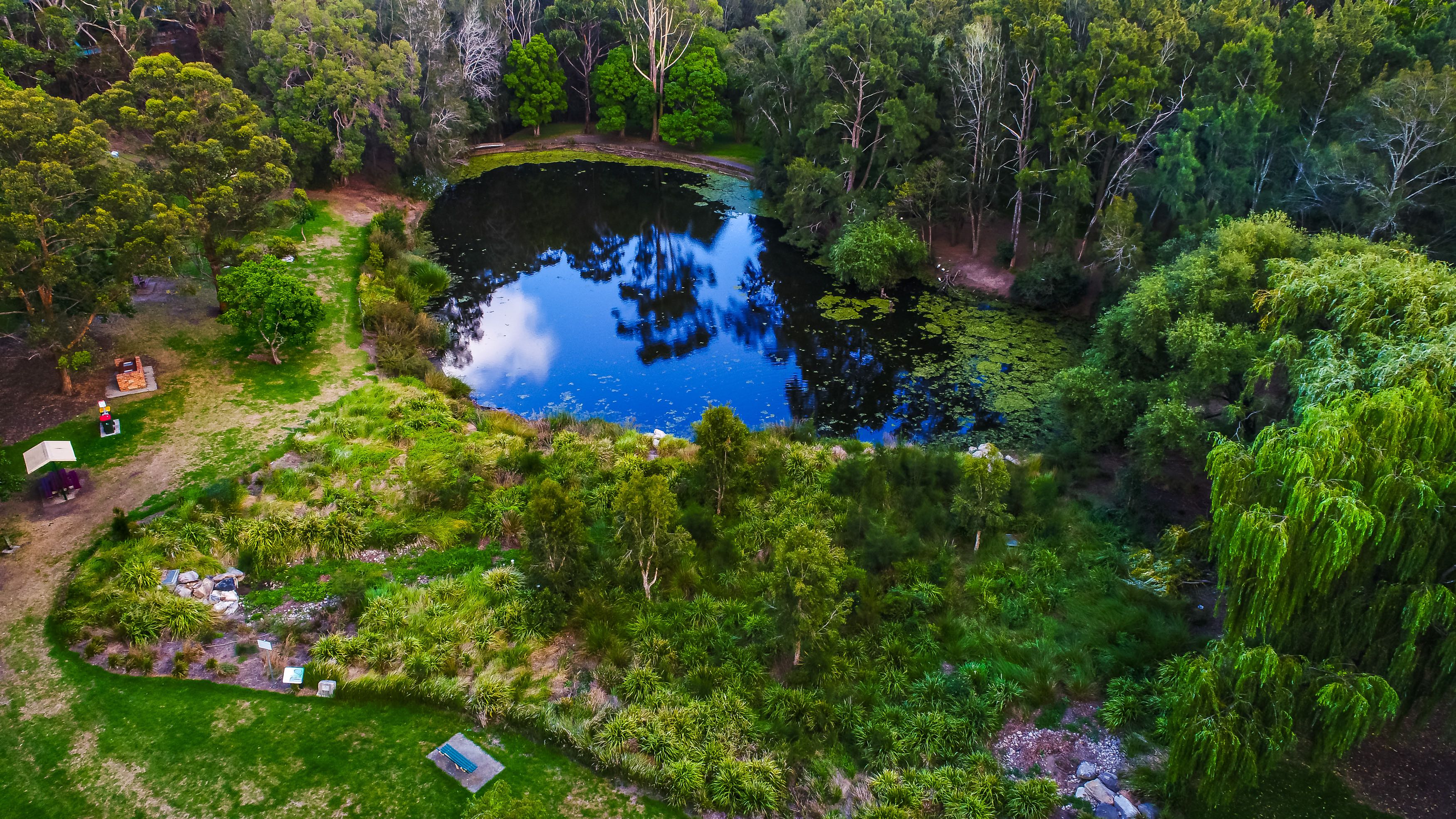
The track turns inland and is the entrance to the primary rainforest section, which you will see from the ferns, vines, figs and water. This is a narrower path with boardwalk and stepping stones. The creek has warm temperate rainforest with Coachwood trees and Lilly Pillys.
There is a broken dam over the man-made creek along here. The fresh water stream still runs beneath the vine covered trees and a carpet of ferns flourish amongst the mossy rocks in autumn, the decomposing tree trunks are littered with a range of coloured fungi. On the higher, more exposed parts of the track a scattering of flannel flowers, native fuchsia and ground orchids can be found.
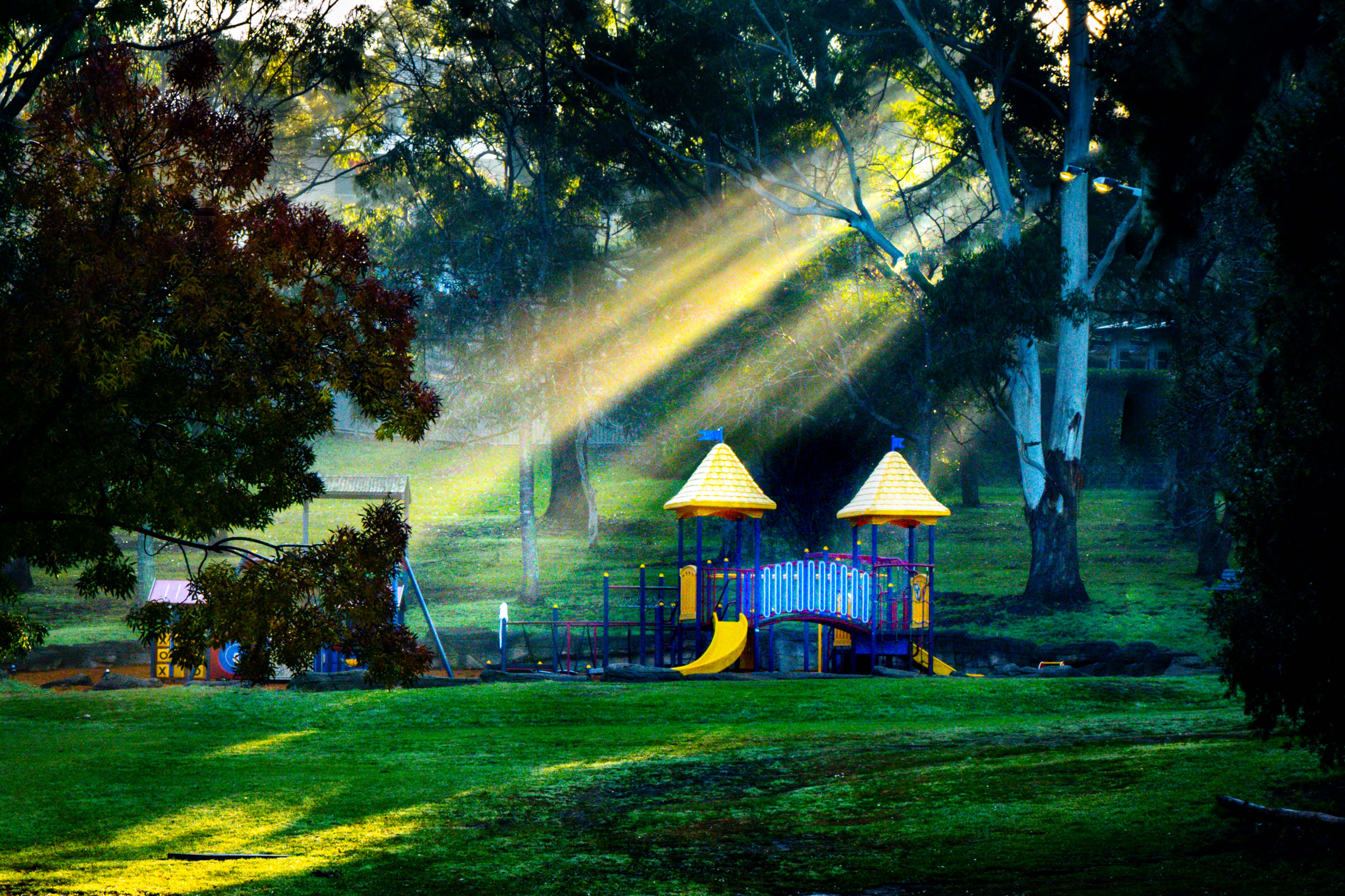
After you exit the Rainforest Track you will see the remains of Connor's Orchard as you enter the main park area next to Webb's Dam.
Walk Layout
Wildlife on this Walk
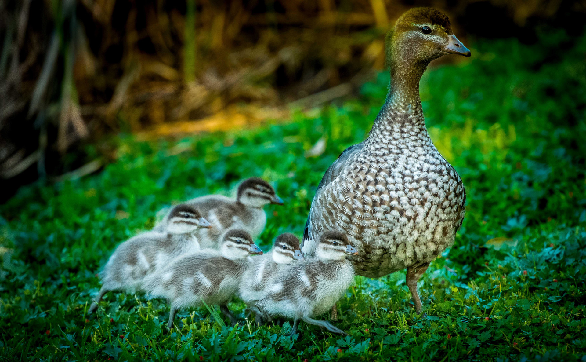
Chenonetta jubata
Alisterus scapularis
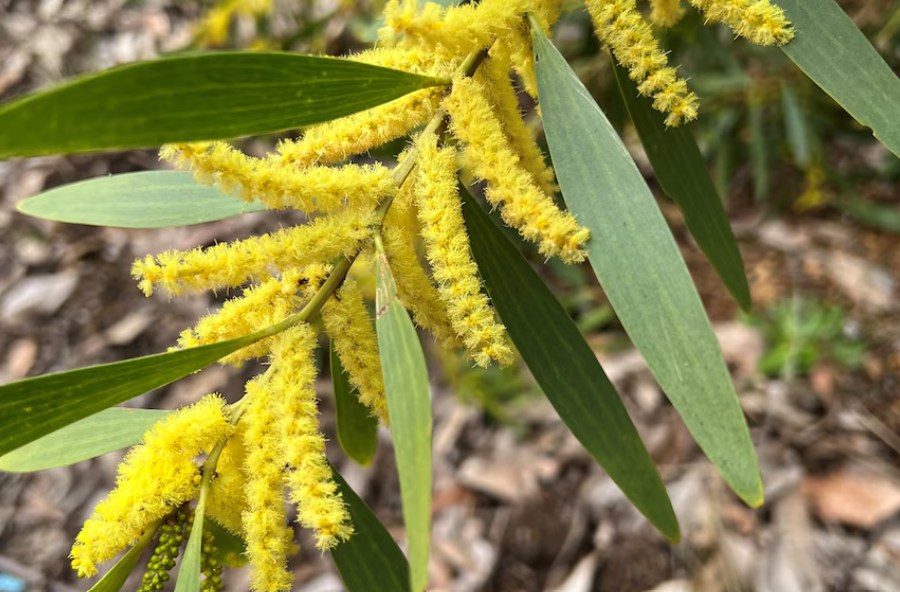
Acacia Longifolia
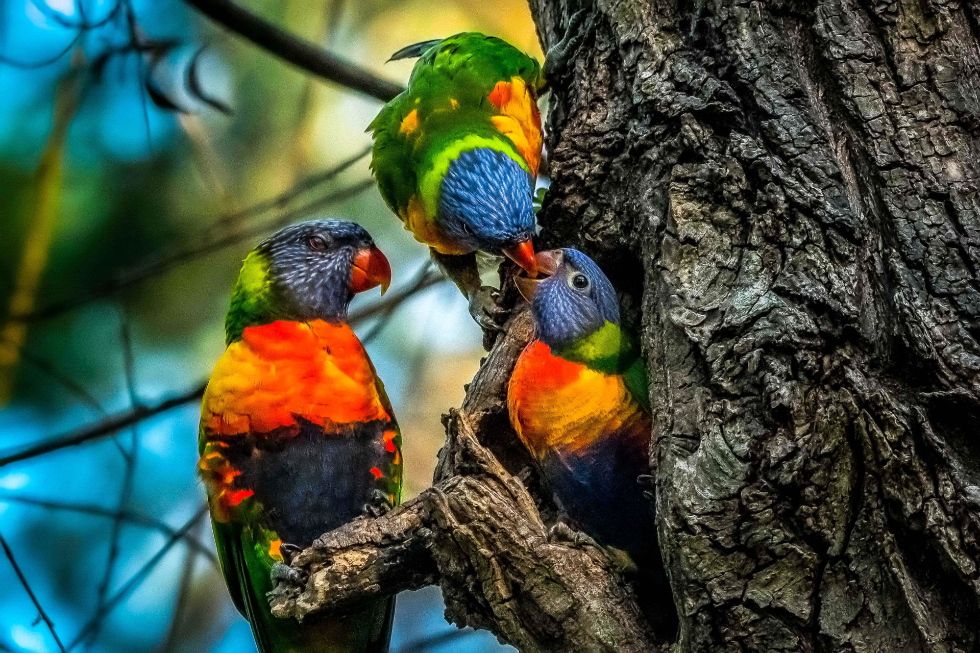
Trichoglossus Moluccanus
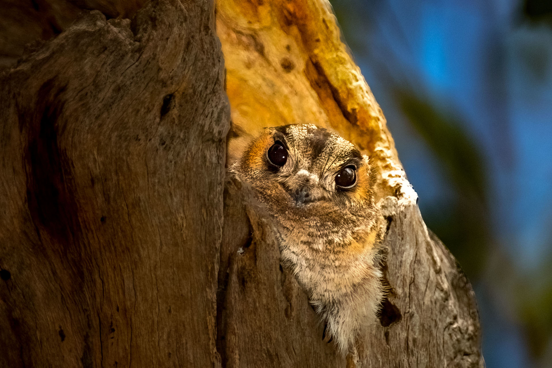
Aegotheles cristatus
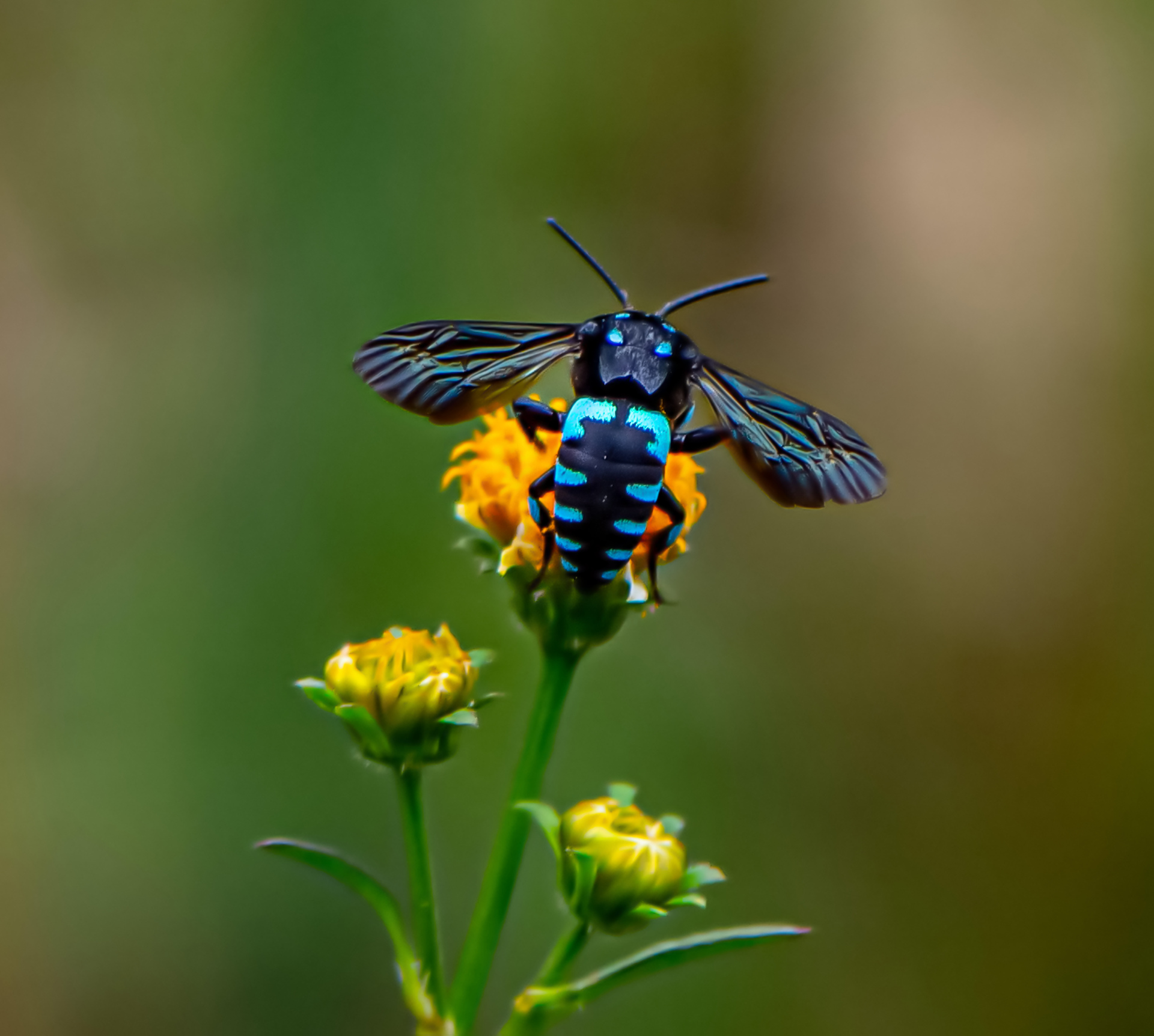
Thyreus nitidulus
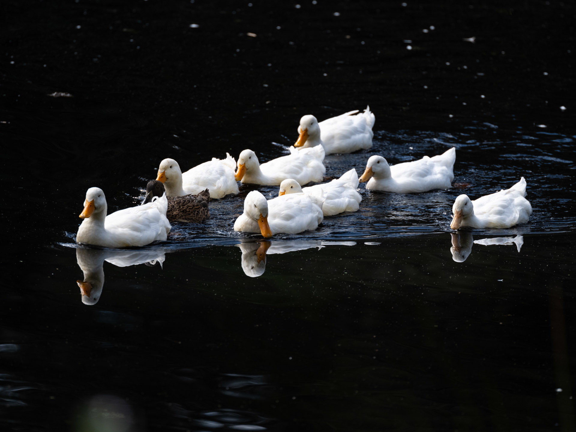
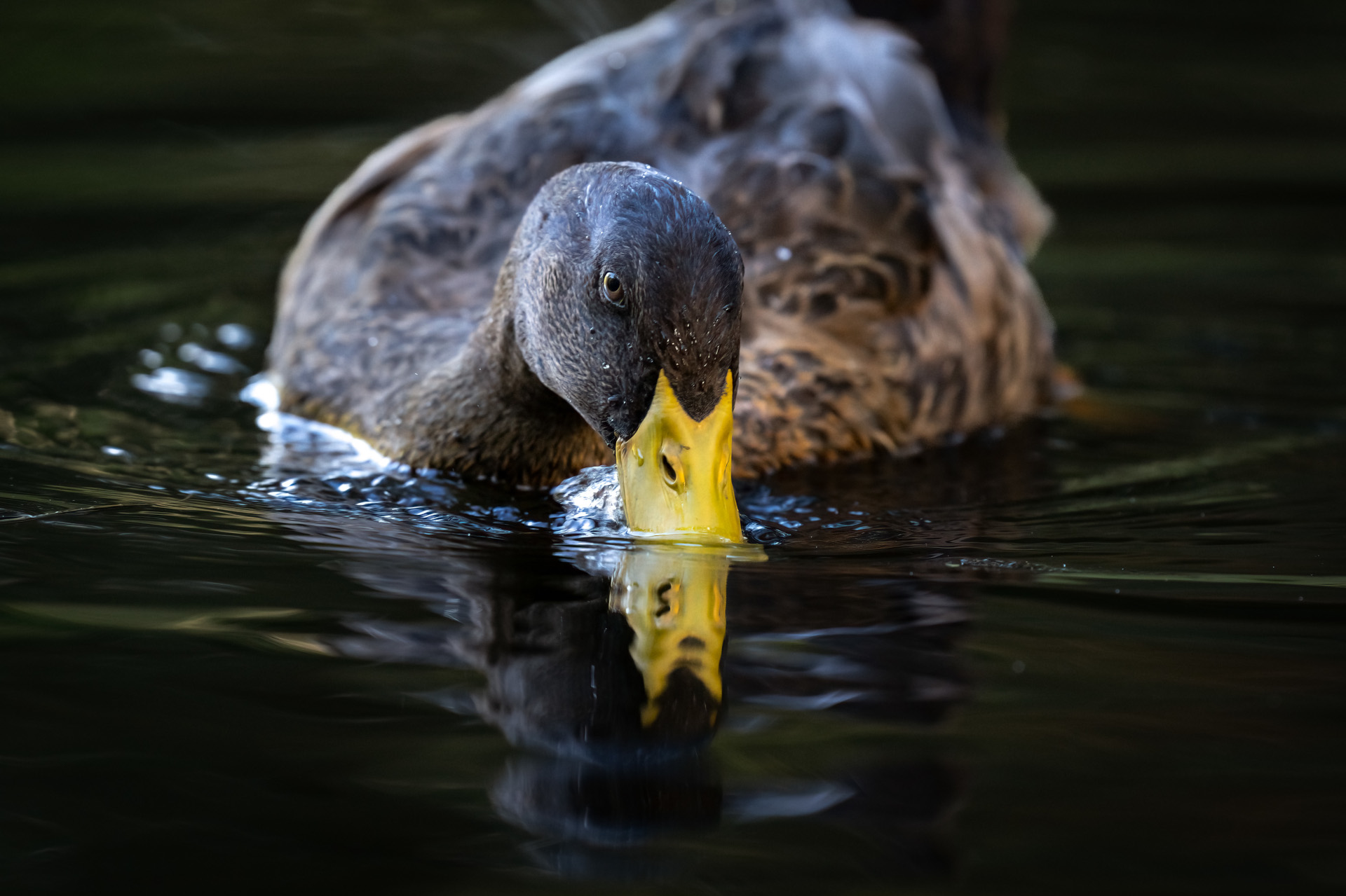
Anas platyrhynchos domesticus
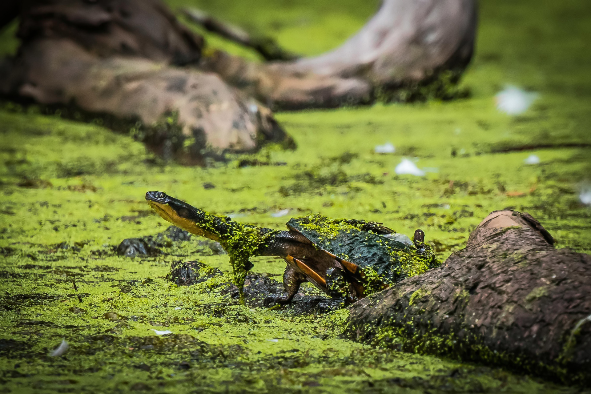
Chelodina longicollis
Angophora costata
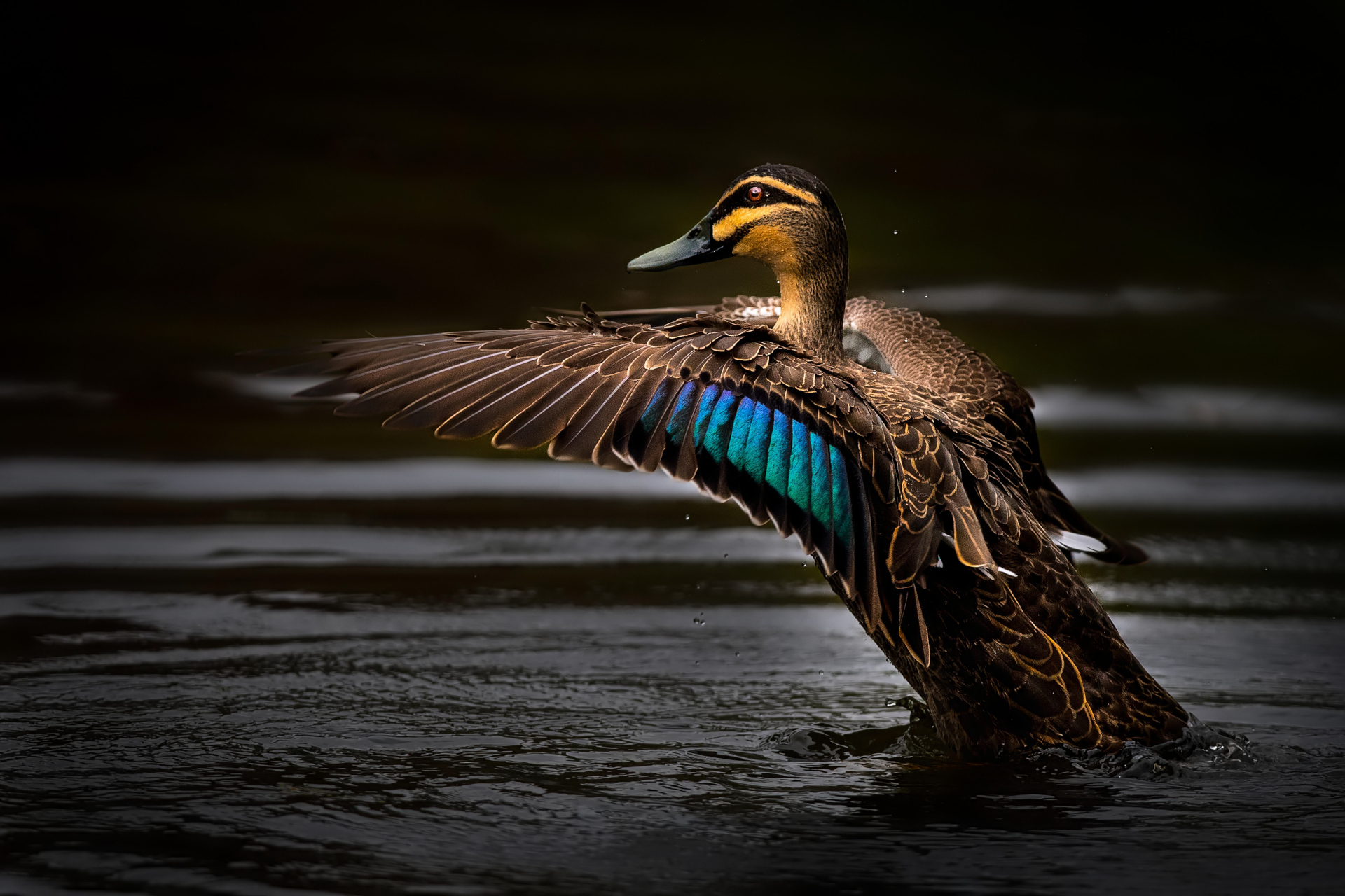
Anas superciliosa
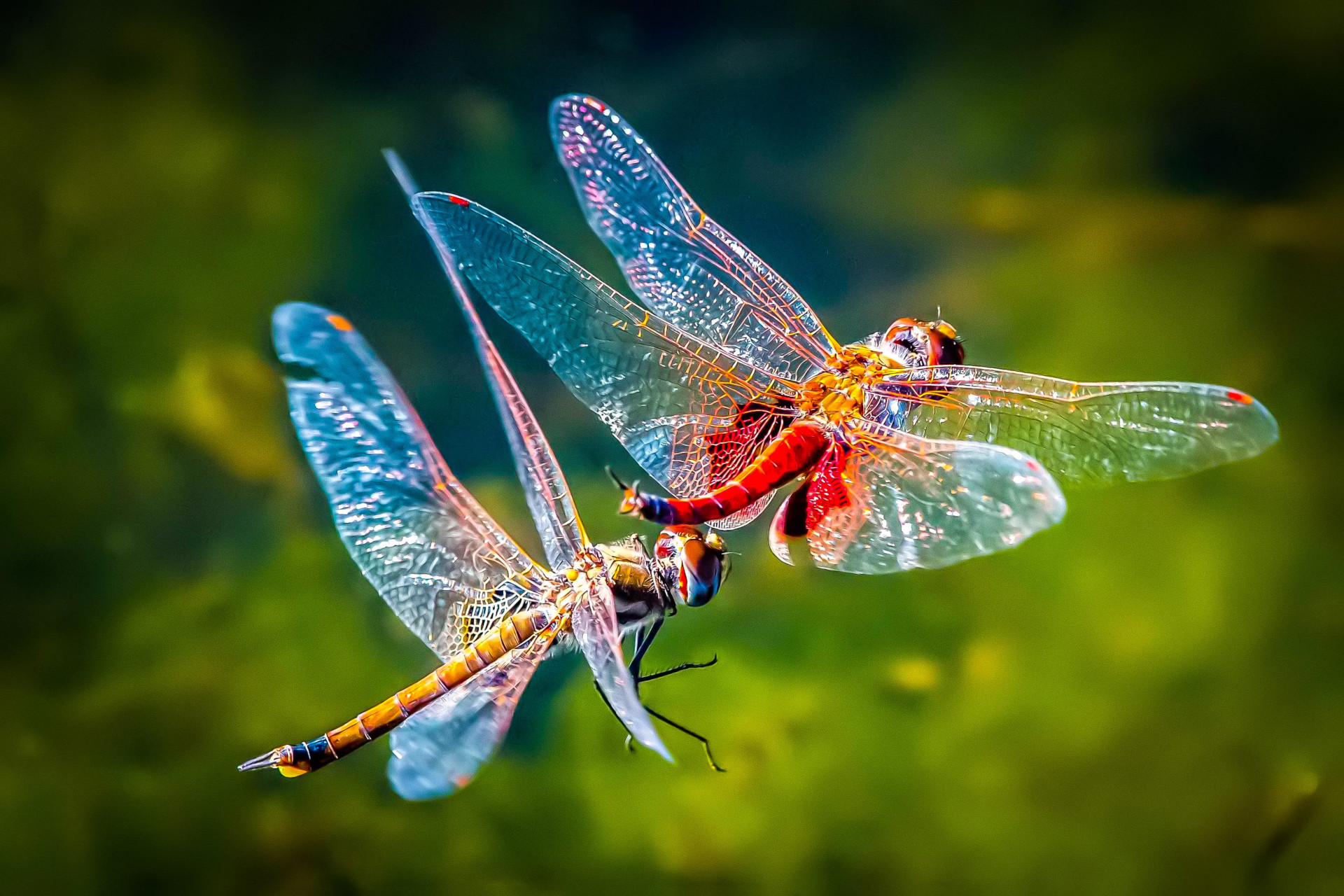
Tramea loewii
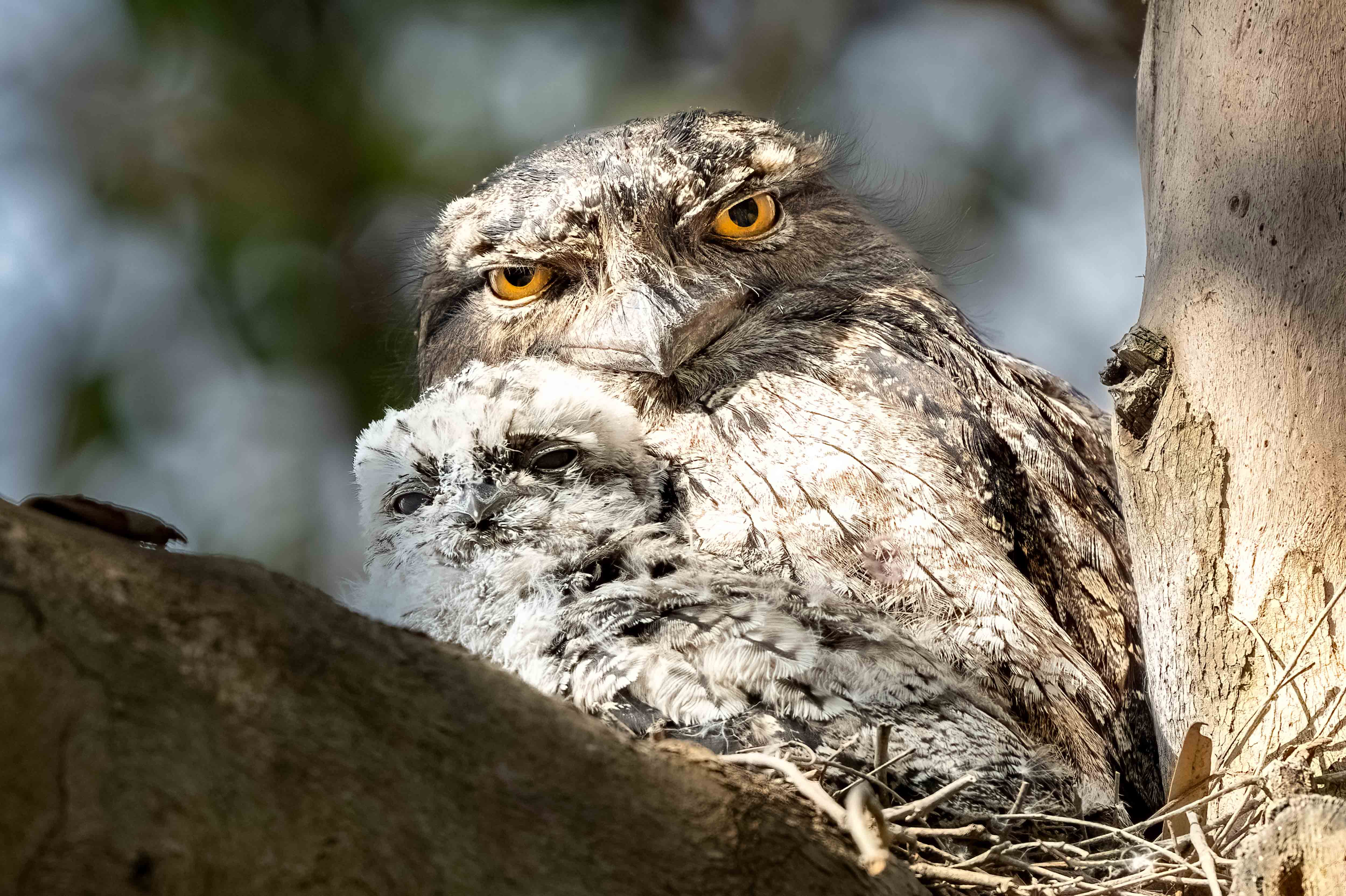
Podargus strigoides
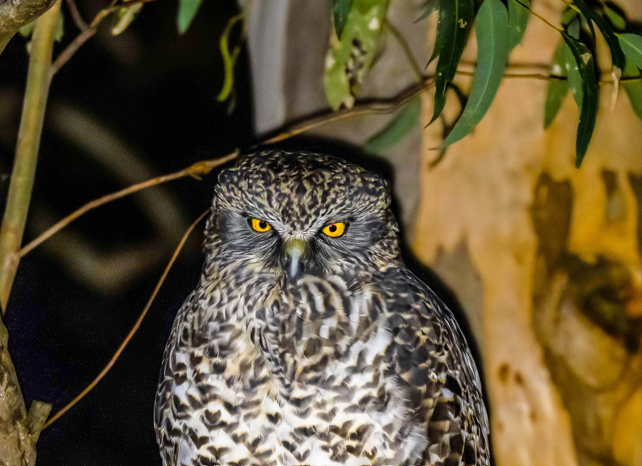
Ninox strenua
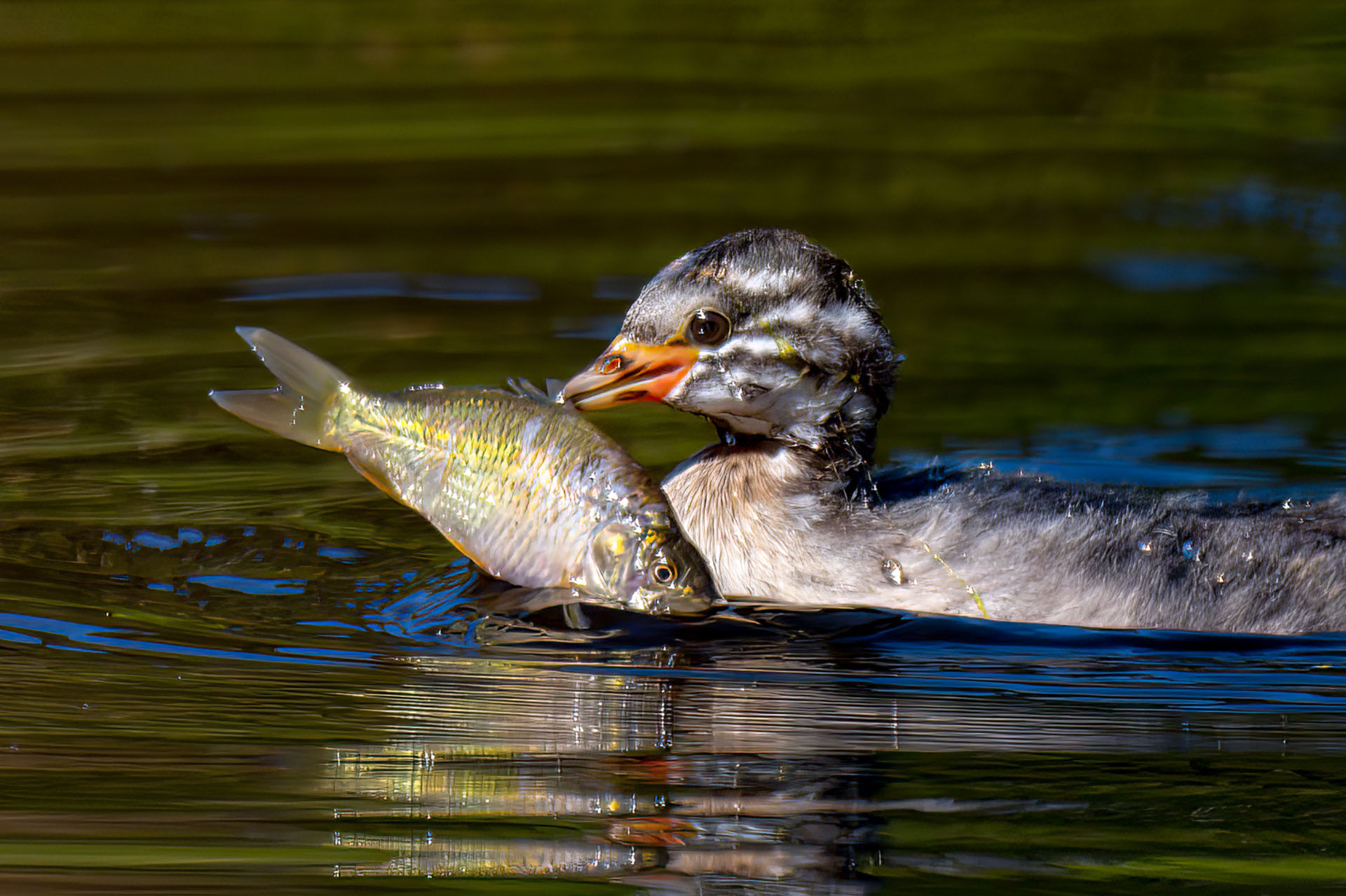
Tachybaptus novaehollandiae
Eucalyptus pilularis
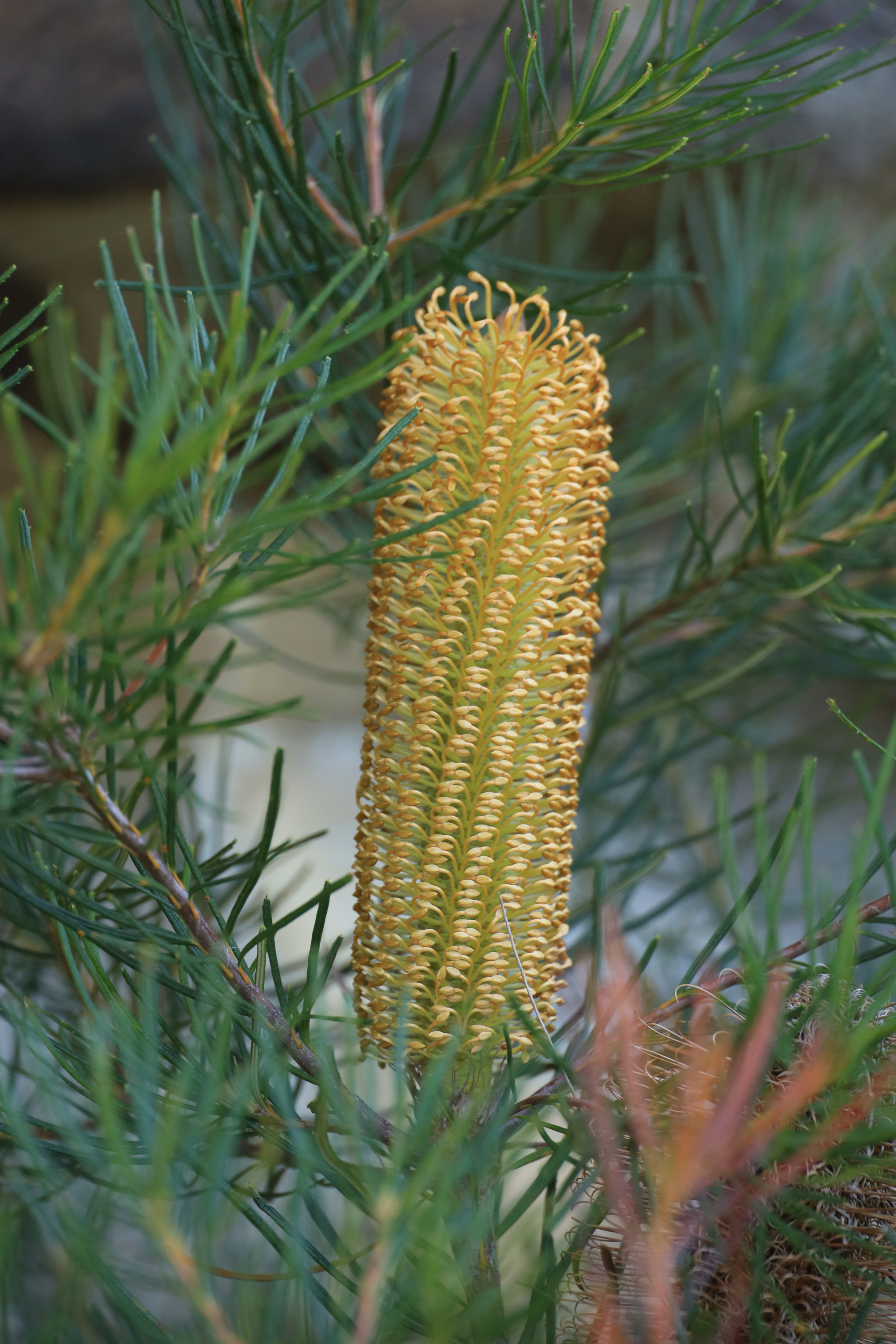
Banksia spinulosa
Cyathea cooperi
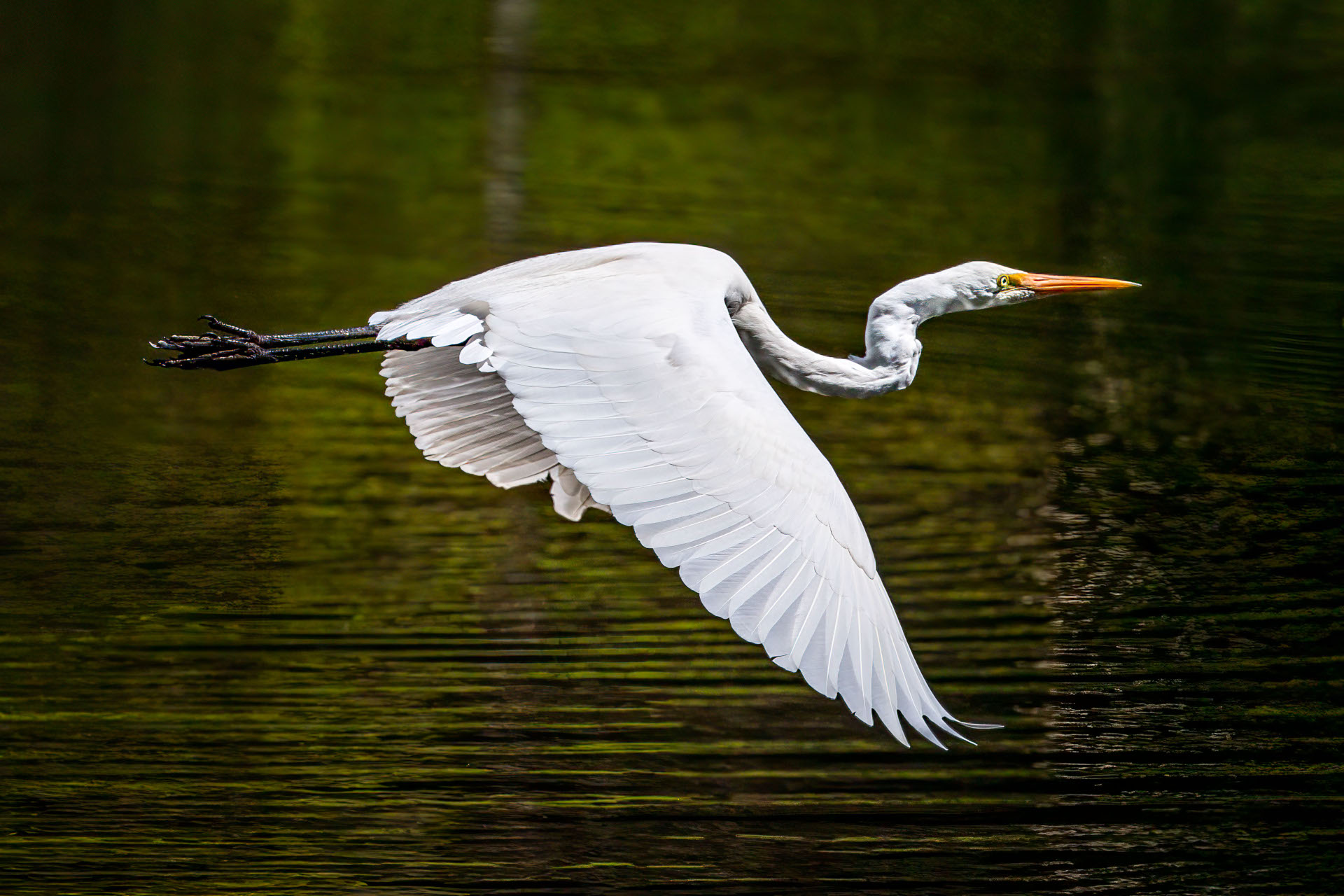
Ardea alba modesta
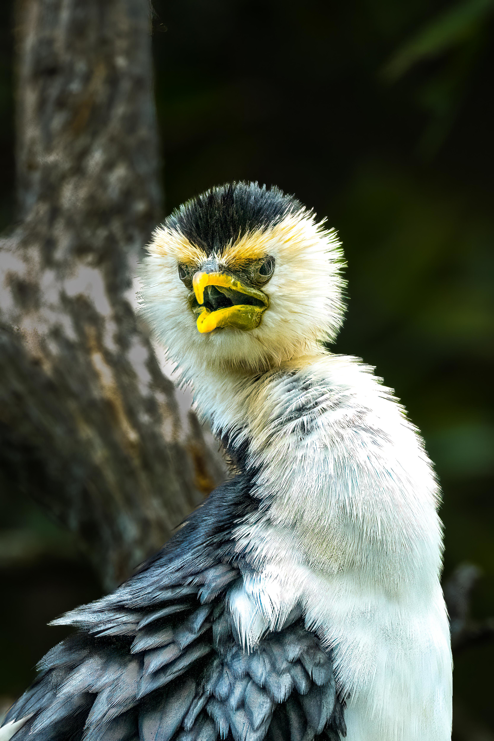
Microcarbo melanoleucos
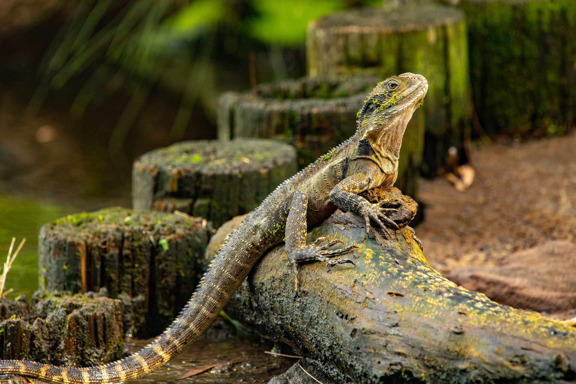
Intellagama lesueurii lesueurii
Anas castanea
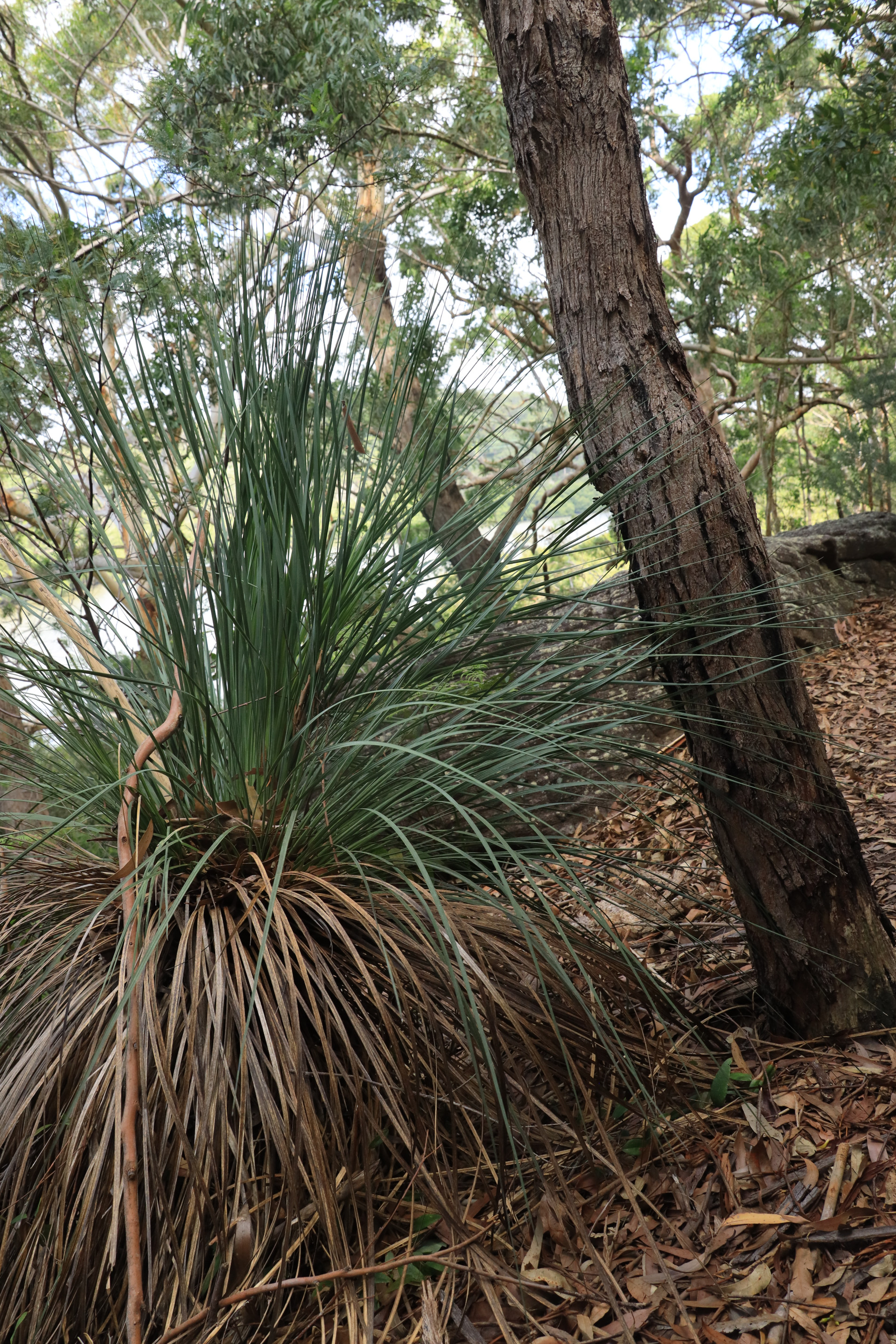
Xanthorrhoea
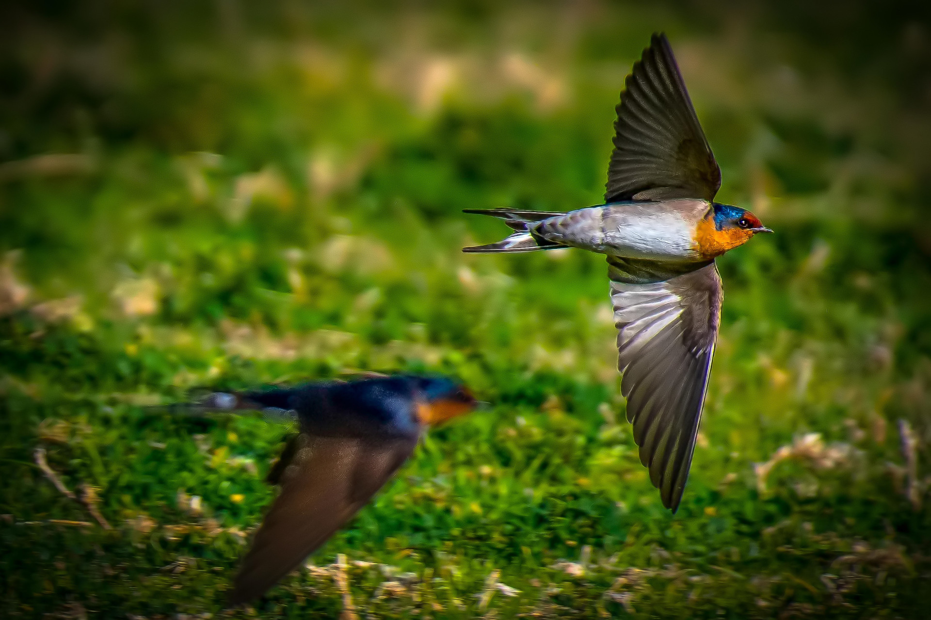
Hirundo neoxena
Images
Points of Interest
Bushwalking tracks are natural environments with inherent risks, including rapid weather shifts, changing terrain, and limited mobile coverage.
Information provided by Lugarno Progress Association is a guide only.
Walkers are responsible for assessing their own fitness, ensuring proper equipment, and checking live local alerts (such as the Hazards Near Me app) before setting out.
Always let someone know of your planned route.
Lugarno Progress Association accepts no liability for any loss, injury, or damage incurred by relying on this information.